Monmouth Beach From the Sky …
Aerial images of the borough …
Have look at these aerial images from around Monmouth Beach — past and present. The seashore community is as pleasing from high above as it is up close. Enjoy the view:

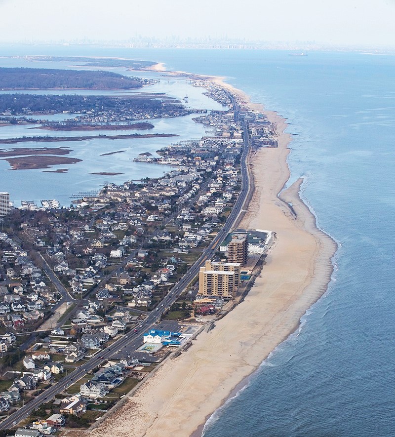
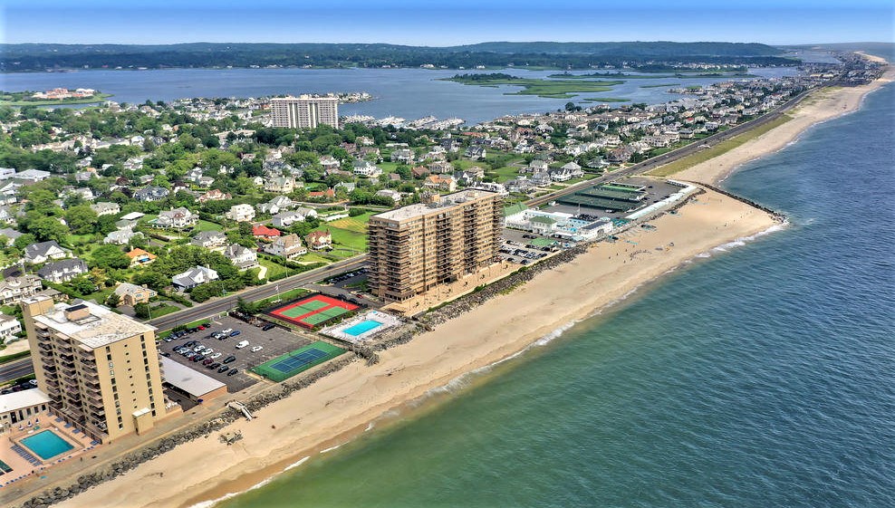
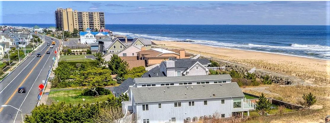
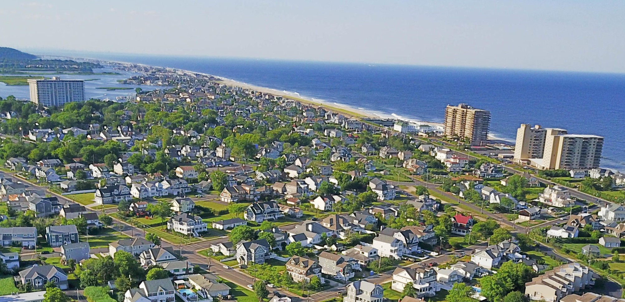
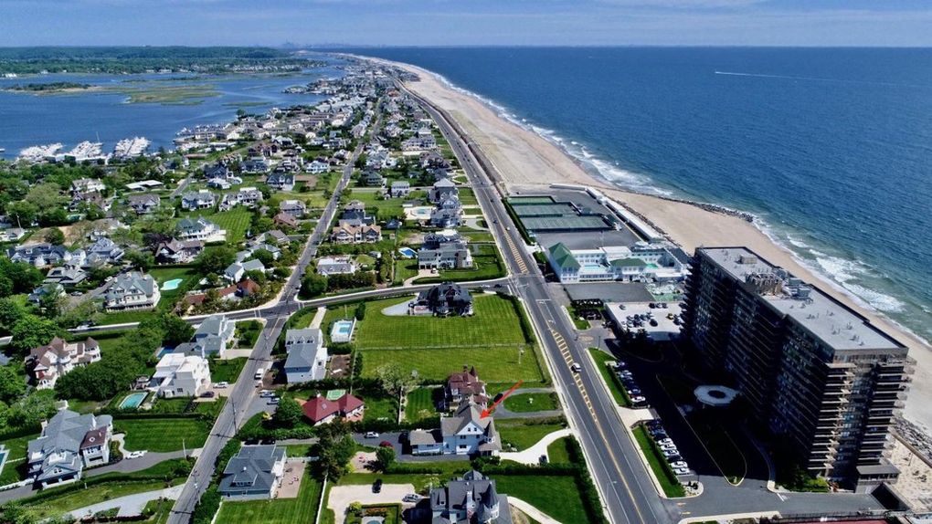
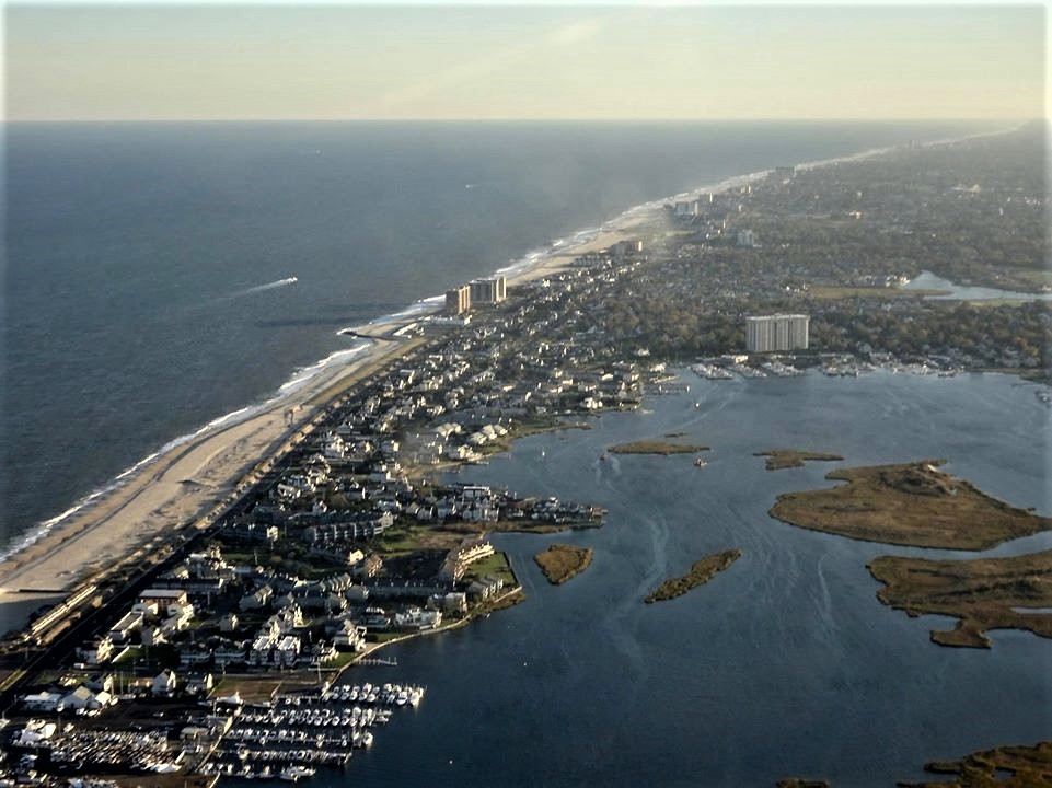
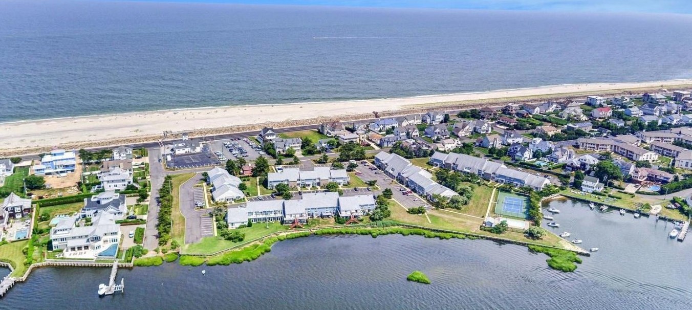
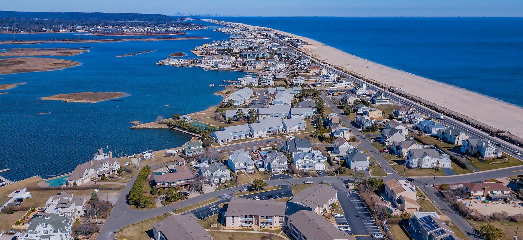
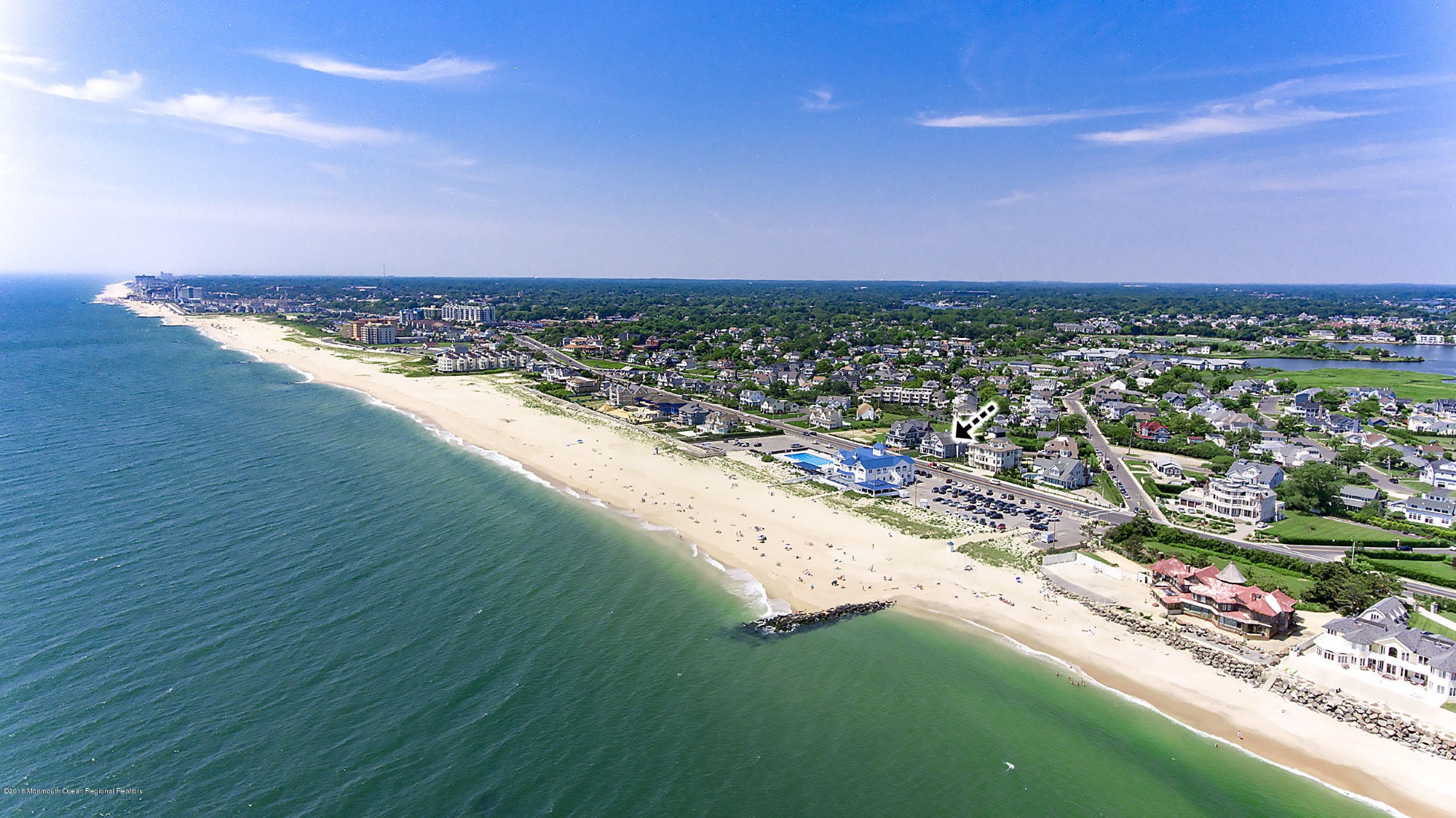
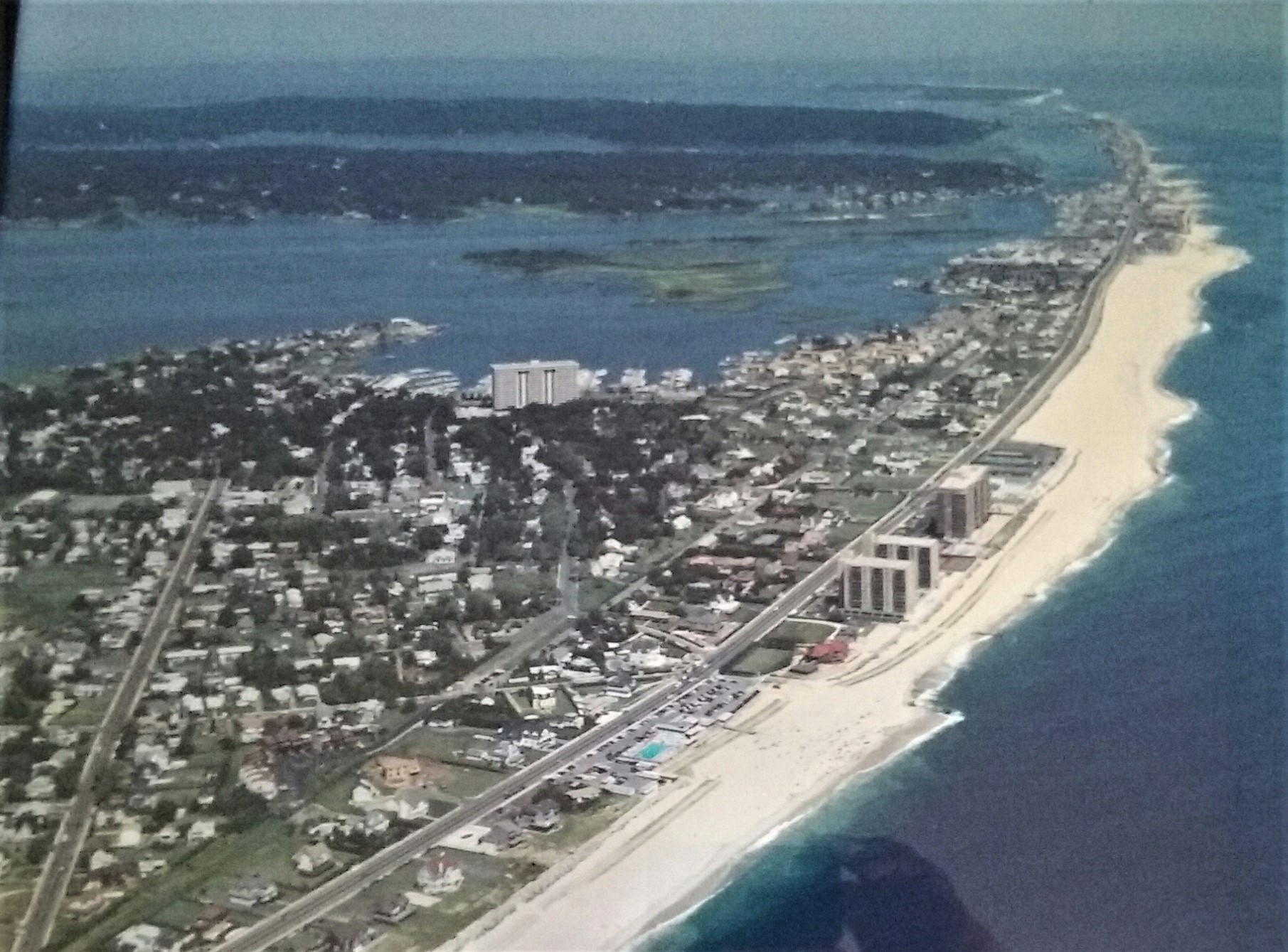
Big X — Monmouth Beach aerial image looking north, 2018. Two roads — Riverdale (l) and Ocean Avenues (r) — bisect the borough.
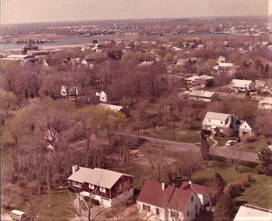
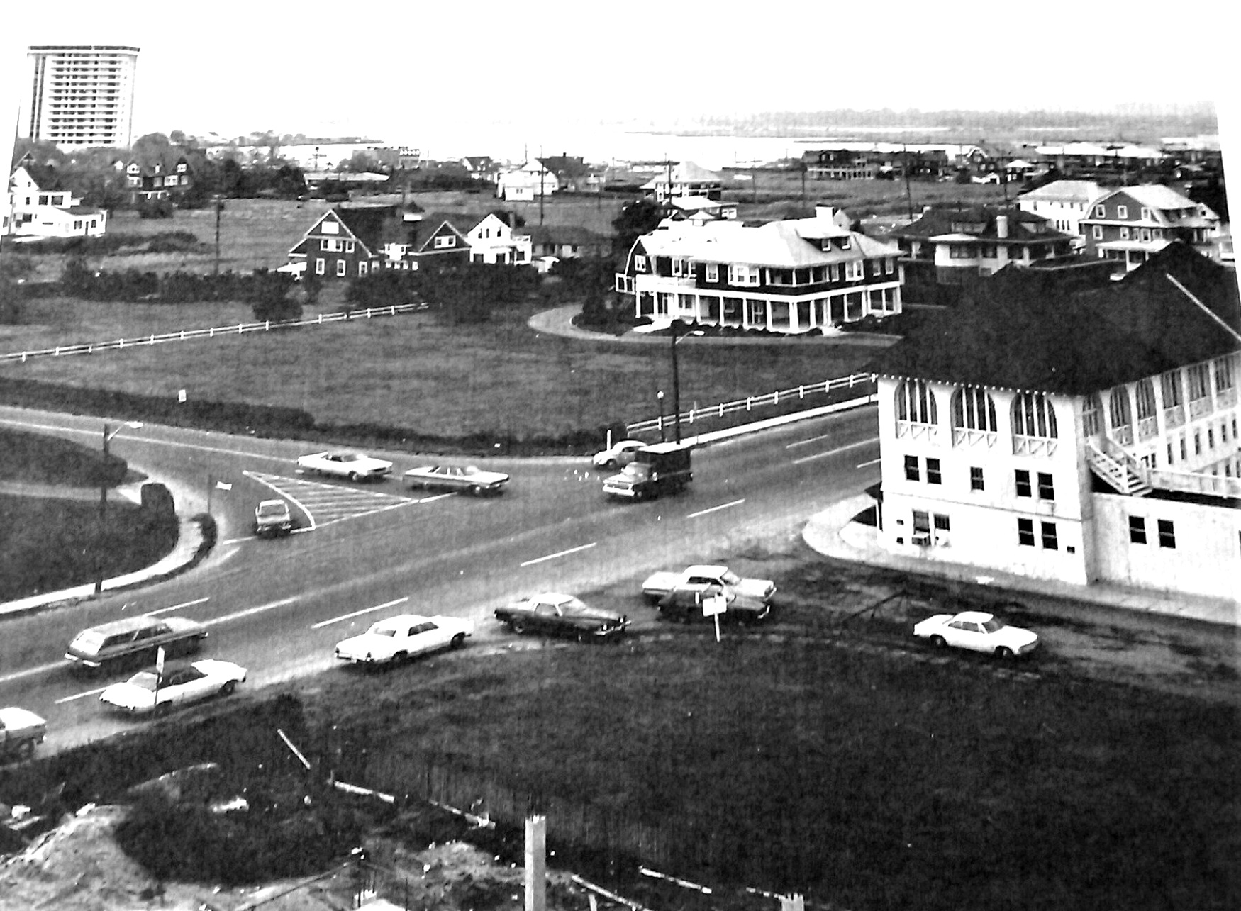
Ocean Mates Meet — Long Branch-Monmouth Beach border line aerial image, late-1970s.
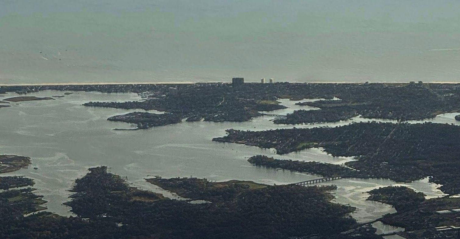
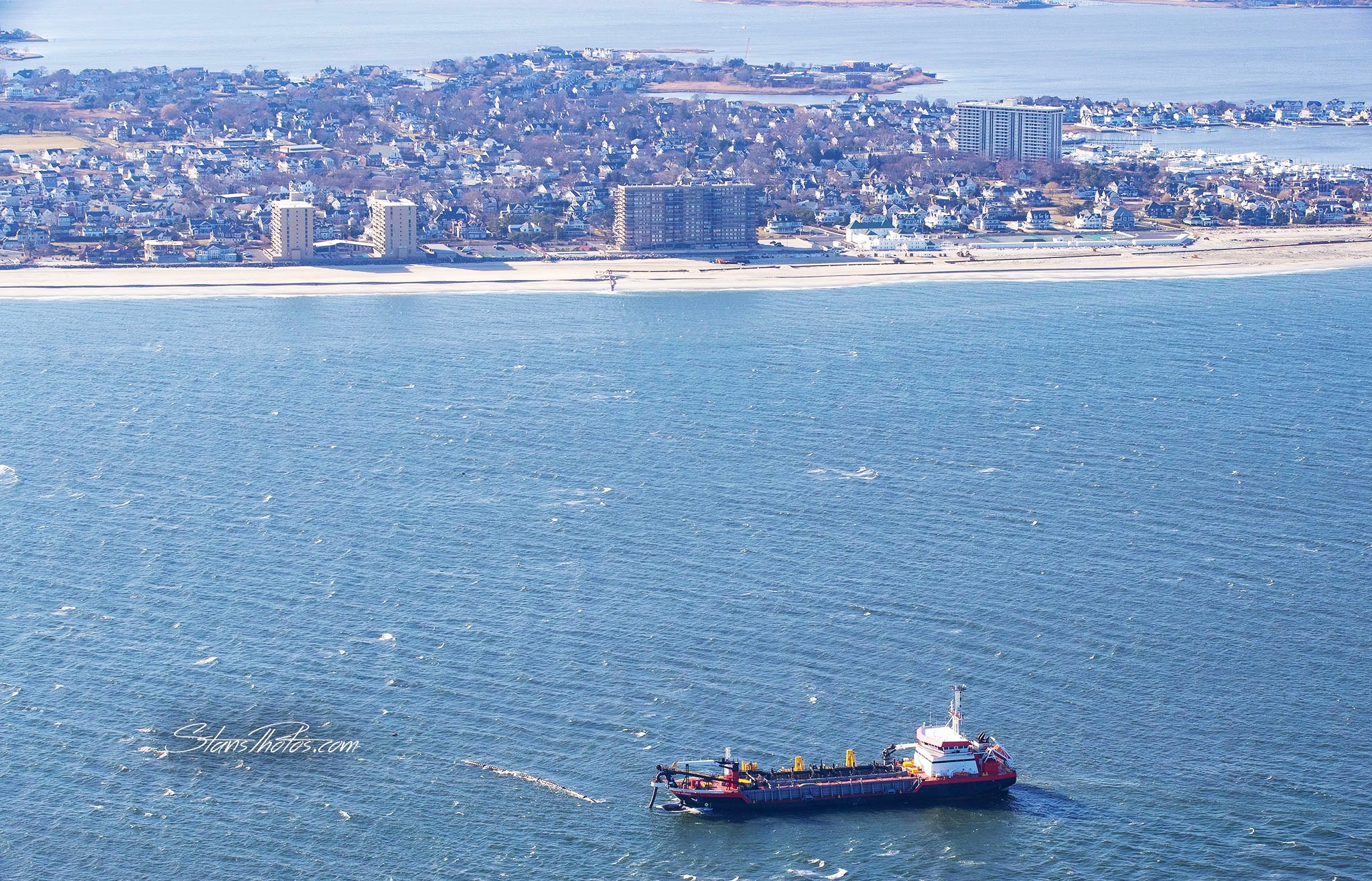
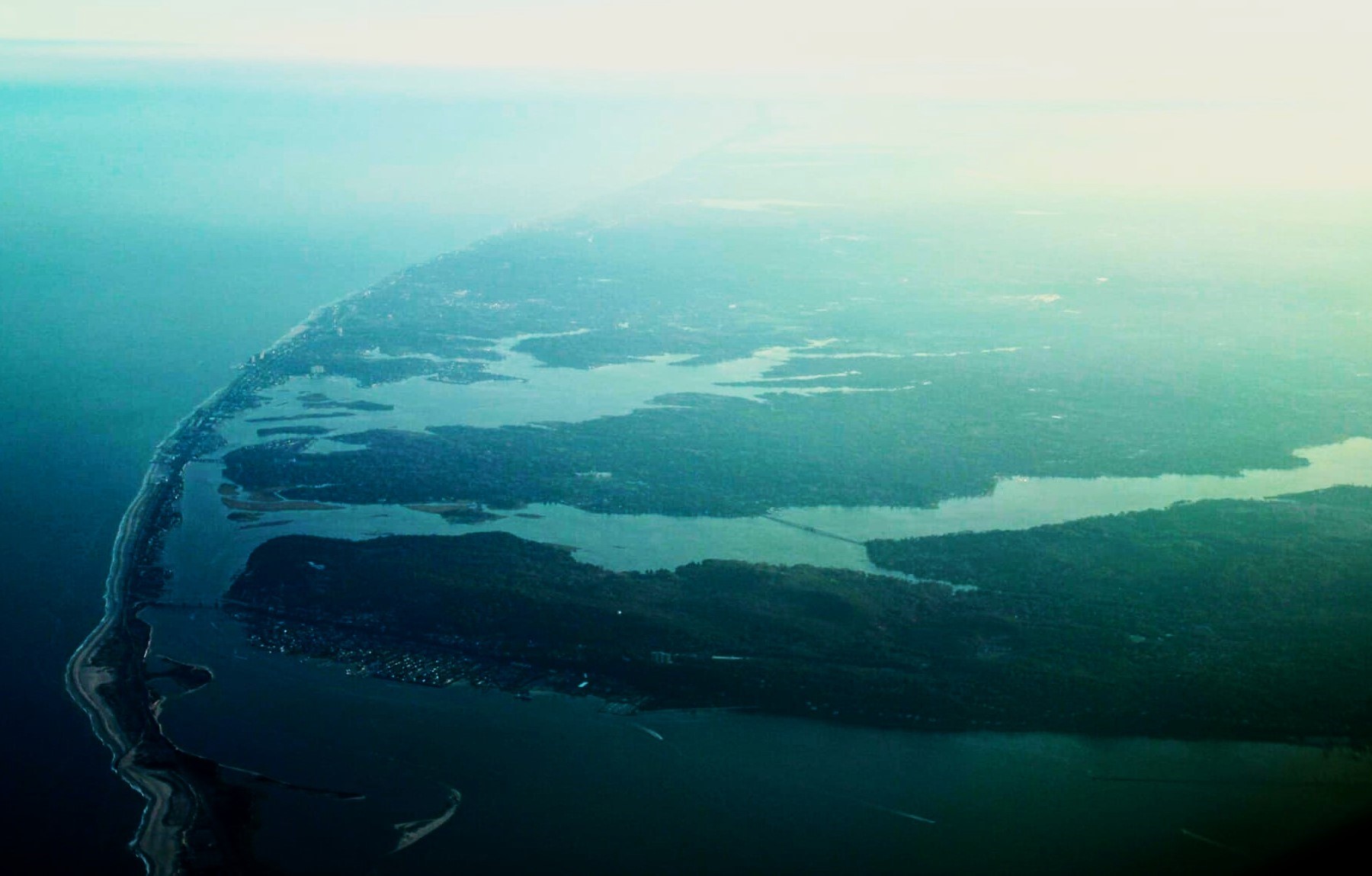
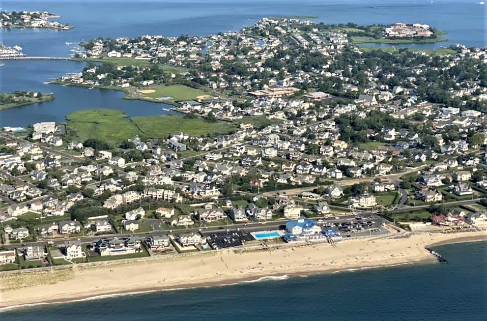
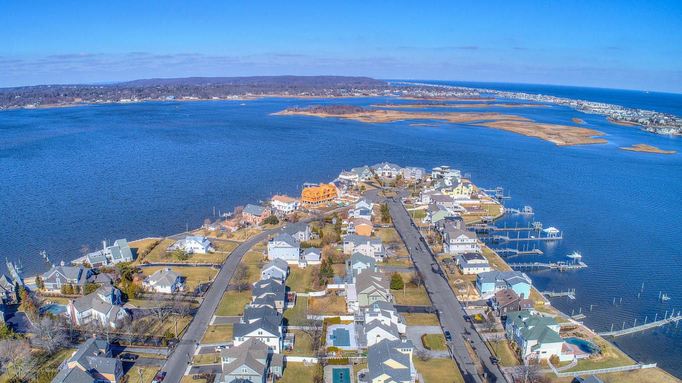
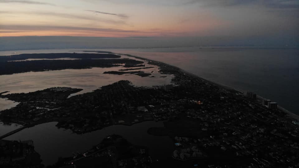
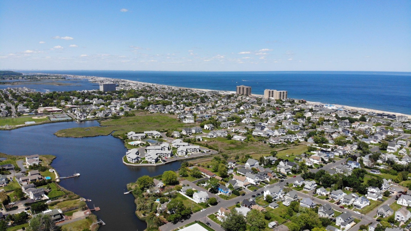
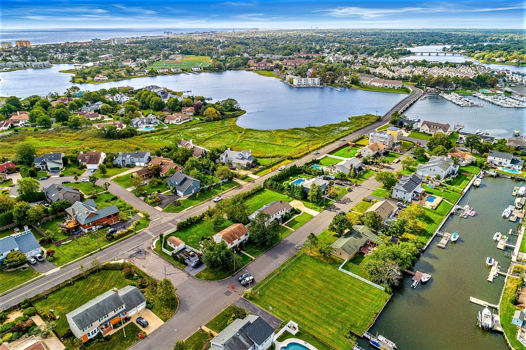
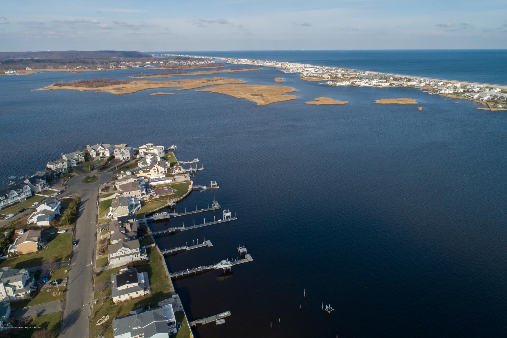
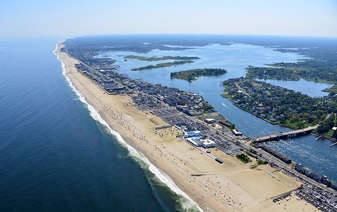
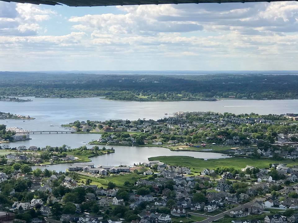
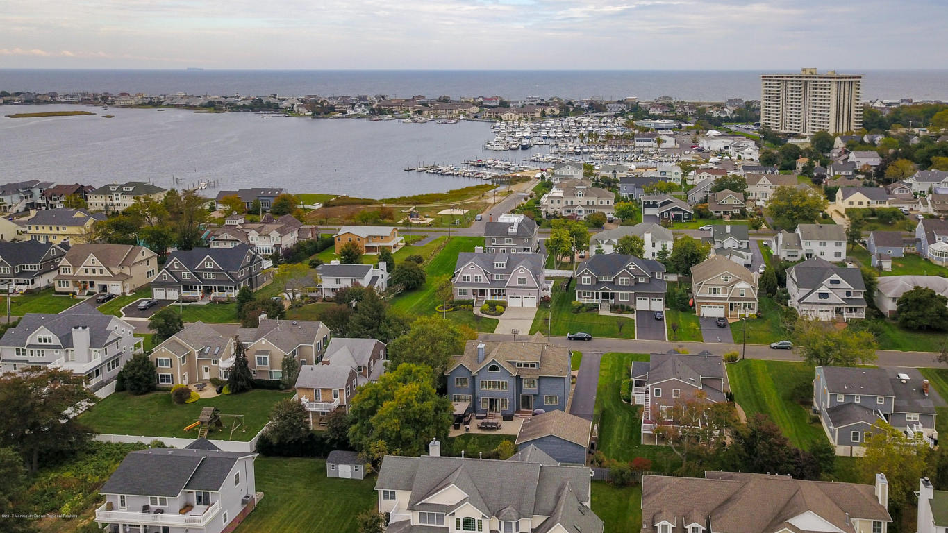
Two Rivers — Monmouth Beach aerial image, October 2025 (Erica Hirsch Photo).
Bay Watch — Monmouth Beach aerial image, October 2025 (Erica Hirsch Photo).
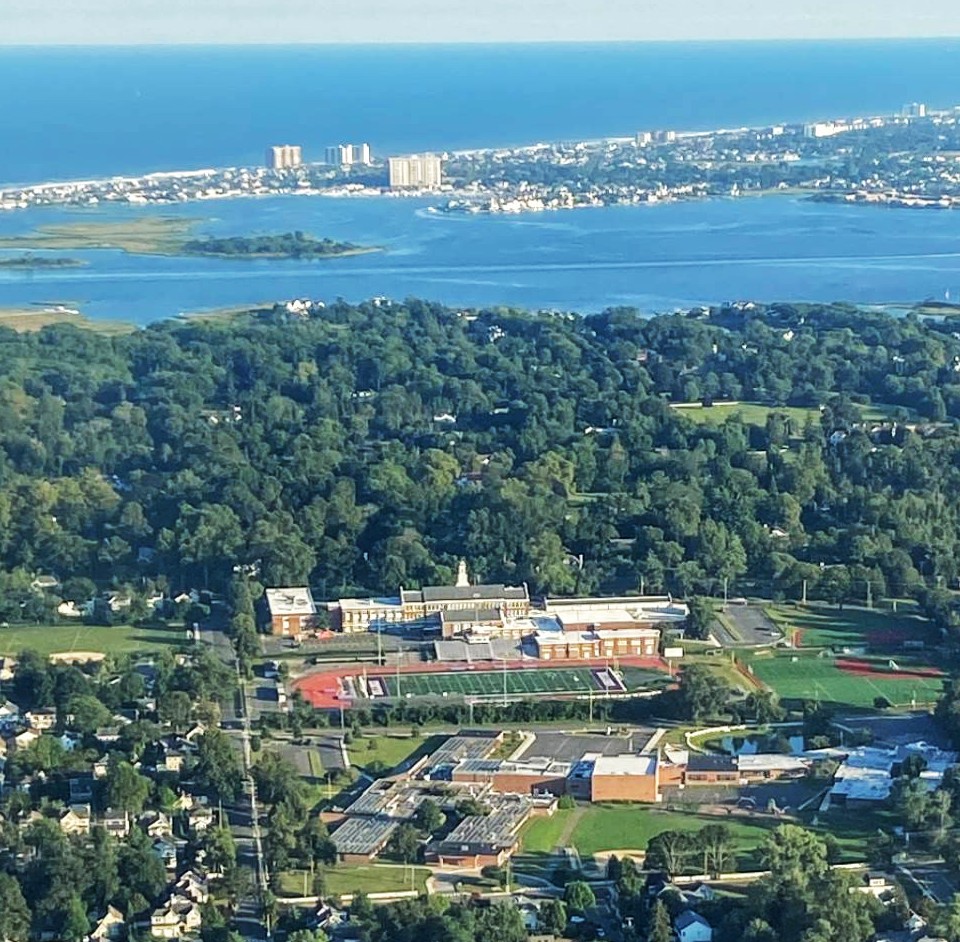
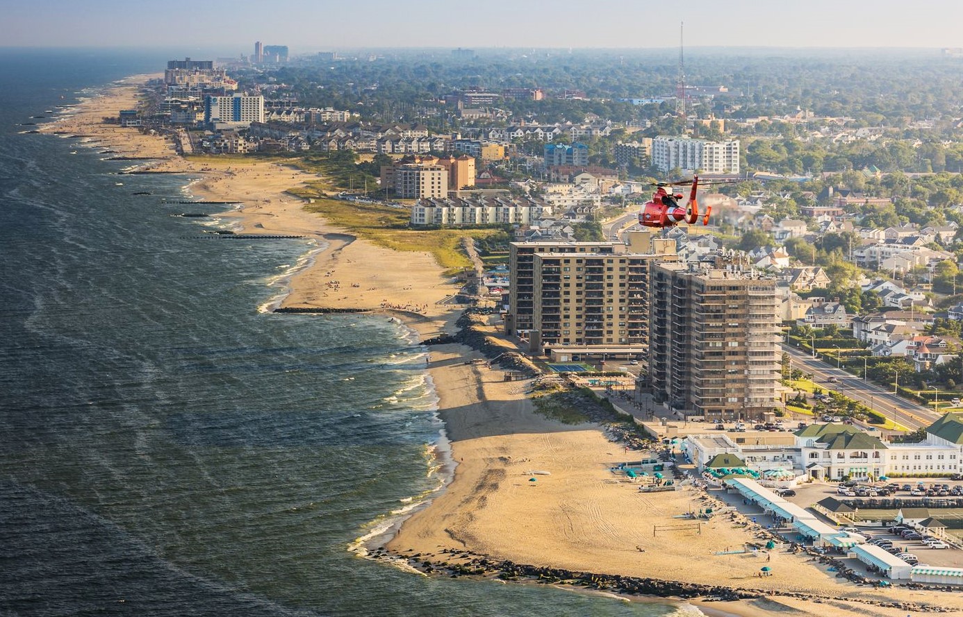
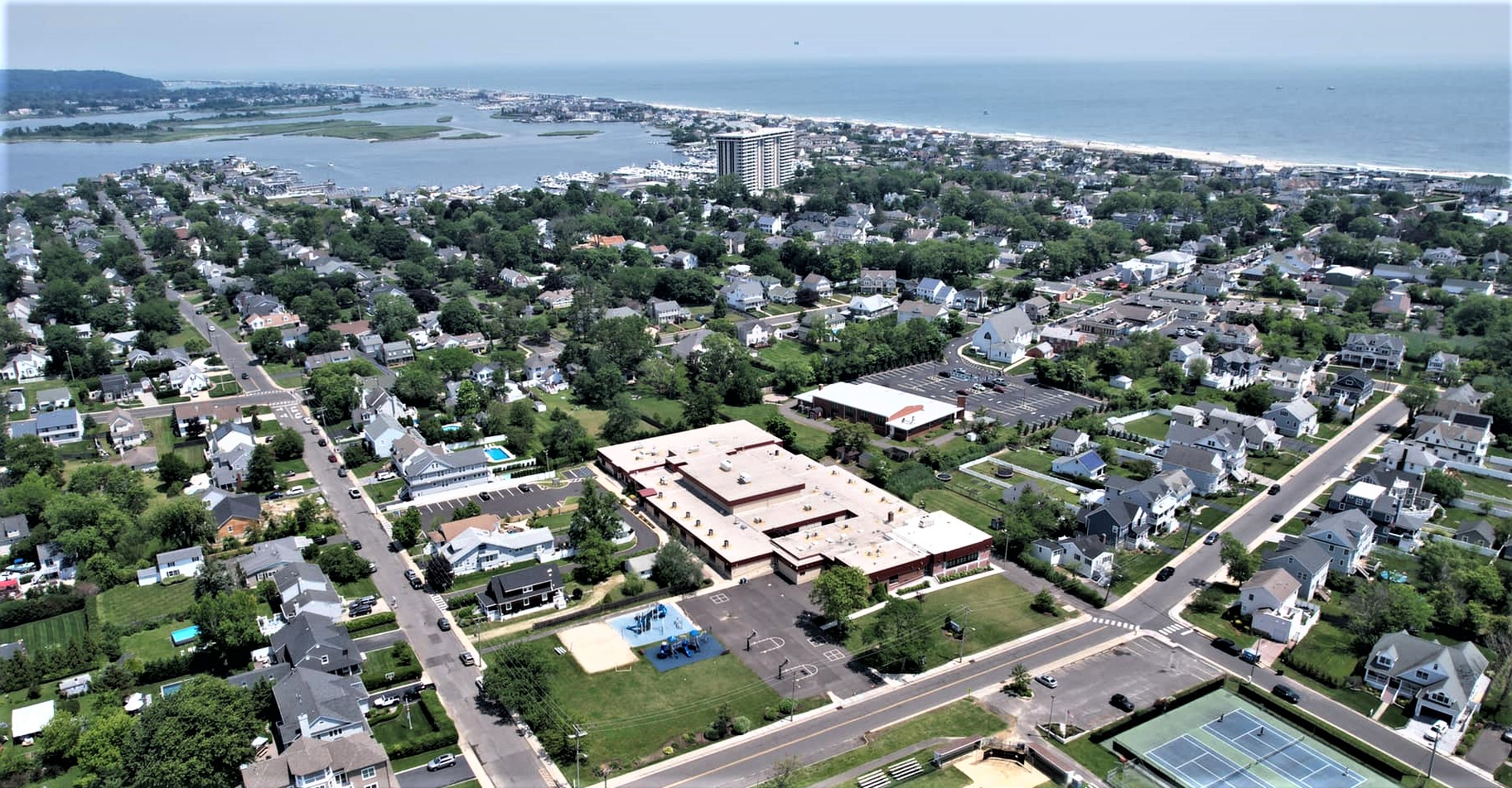
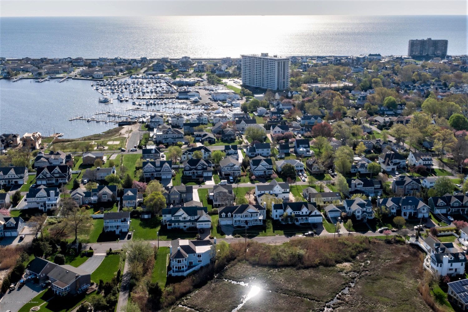
Over the River — Coastal Monmouth Beach (note the three high-rise condos) is visible from the Rumson borough education complex — including Rumson-Fair Haven High School, Deane Porter School and Forrestdale School (and 900+ students), September, 2025 (Brain Allen Photo).
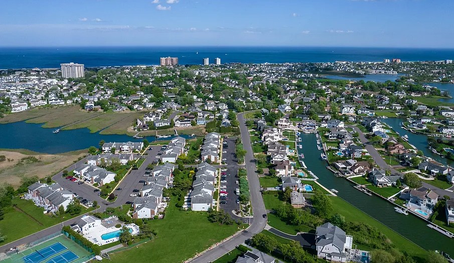
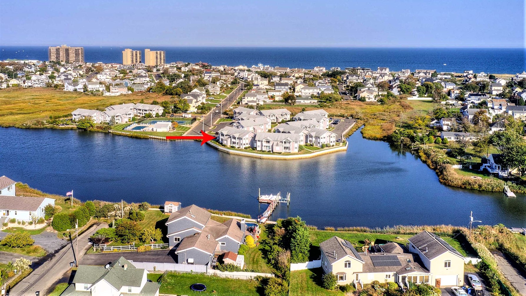
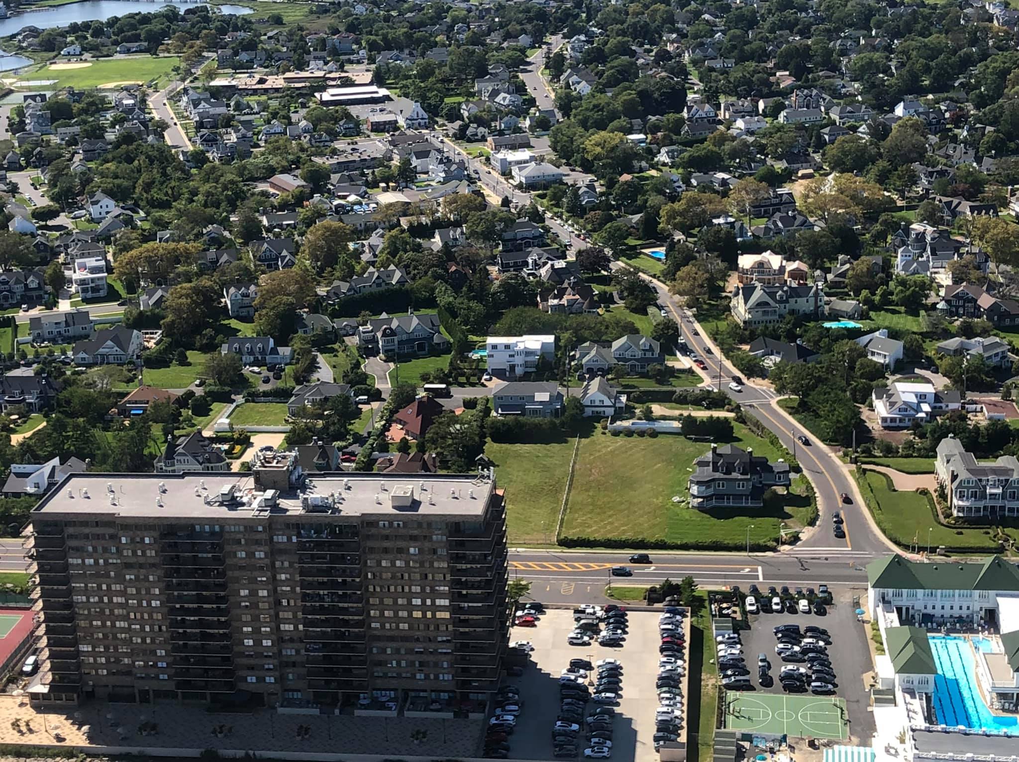
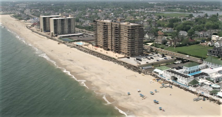
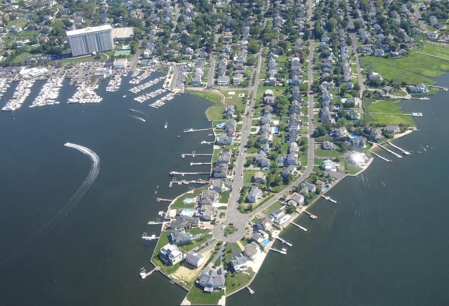
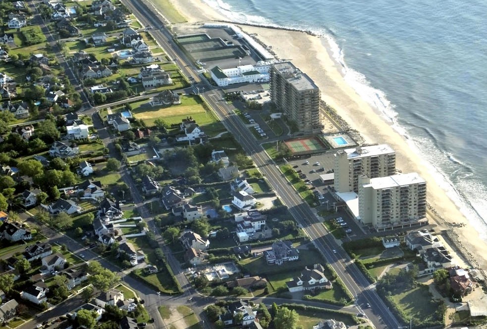
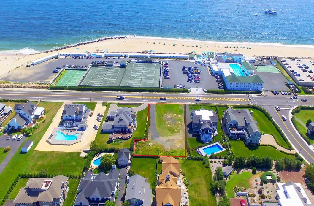
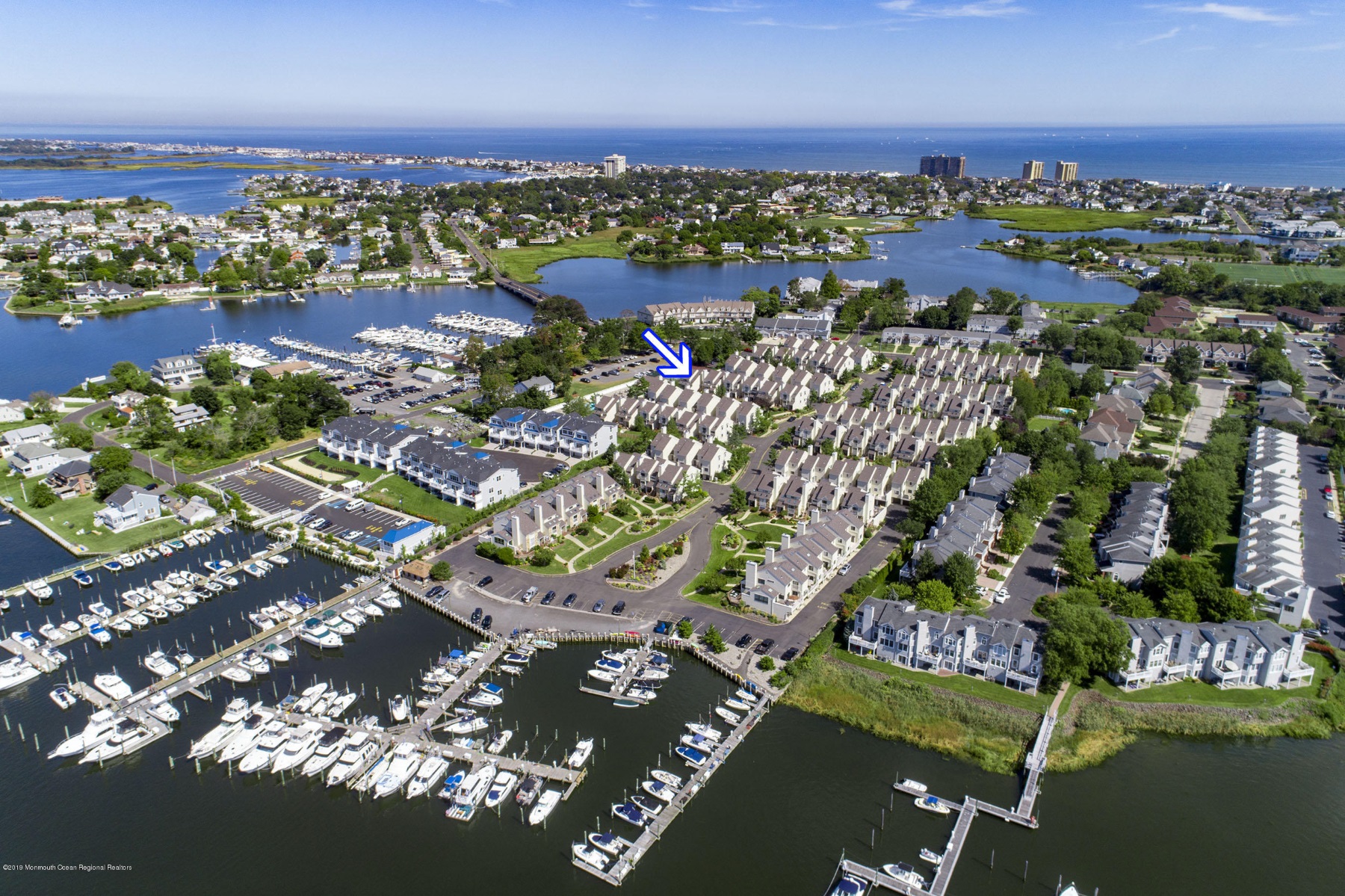
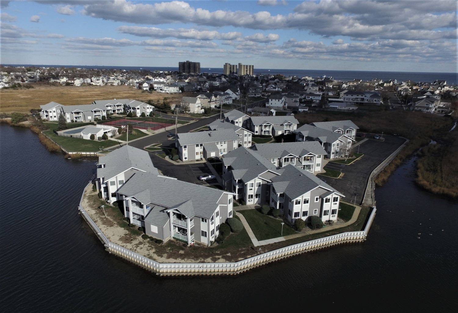
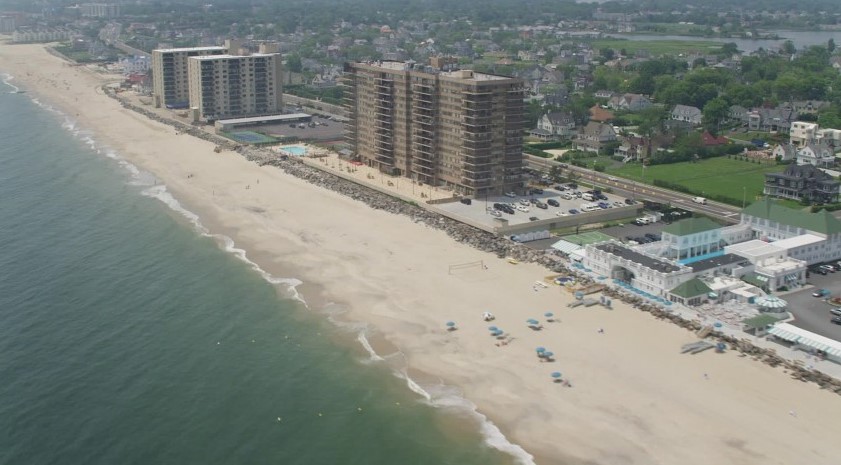
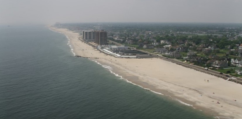
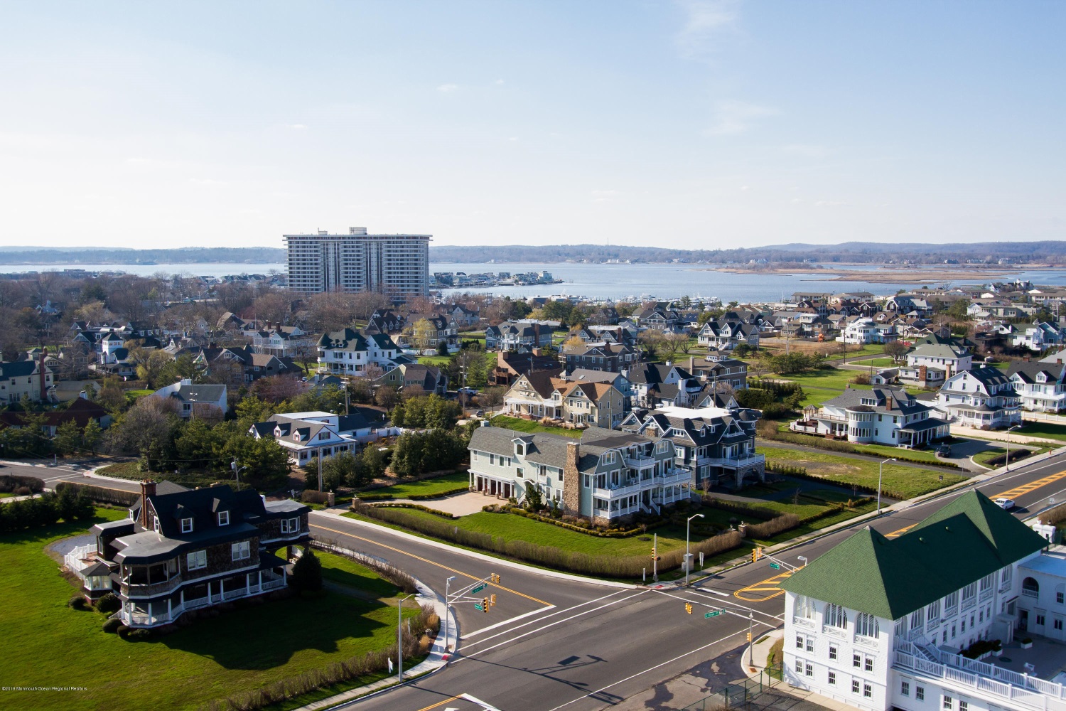
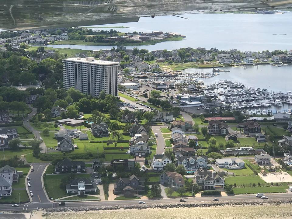
Condo Corridor — Monmouth Beach aerial image looking east, 2025. In the foreground is the Sands Point North condo complex on Meadow Avenue.

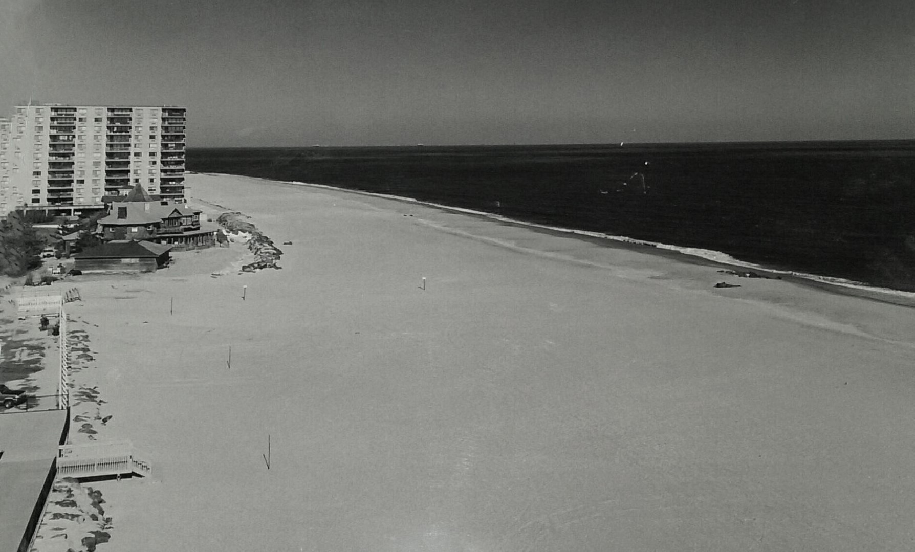
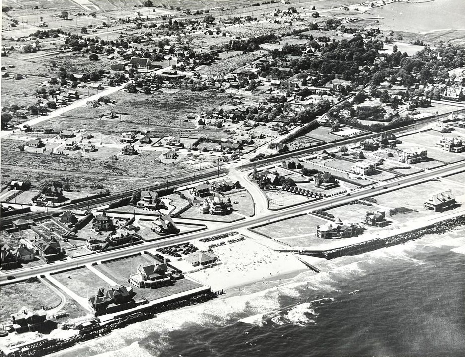
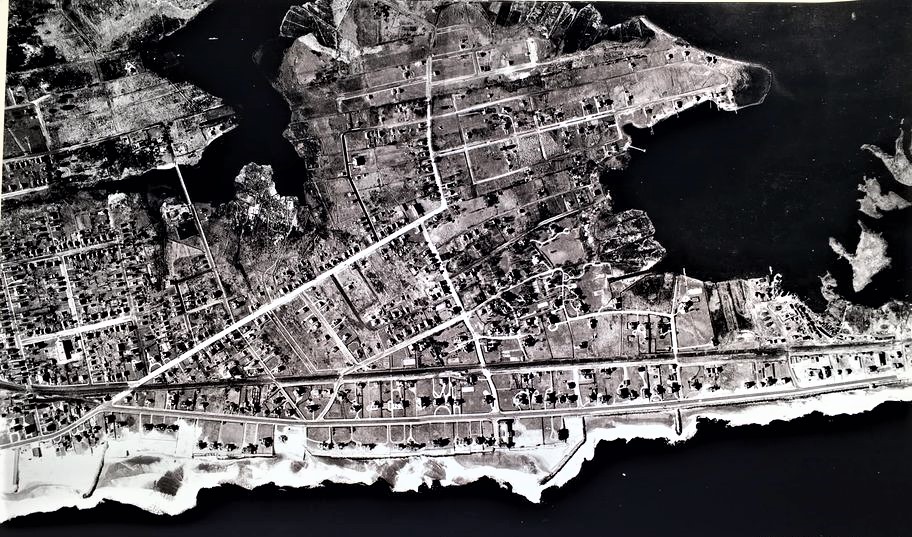
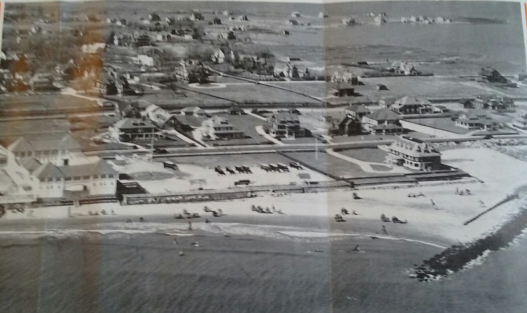
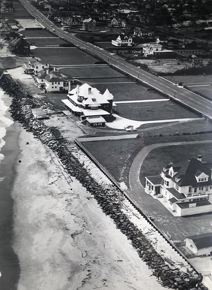
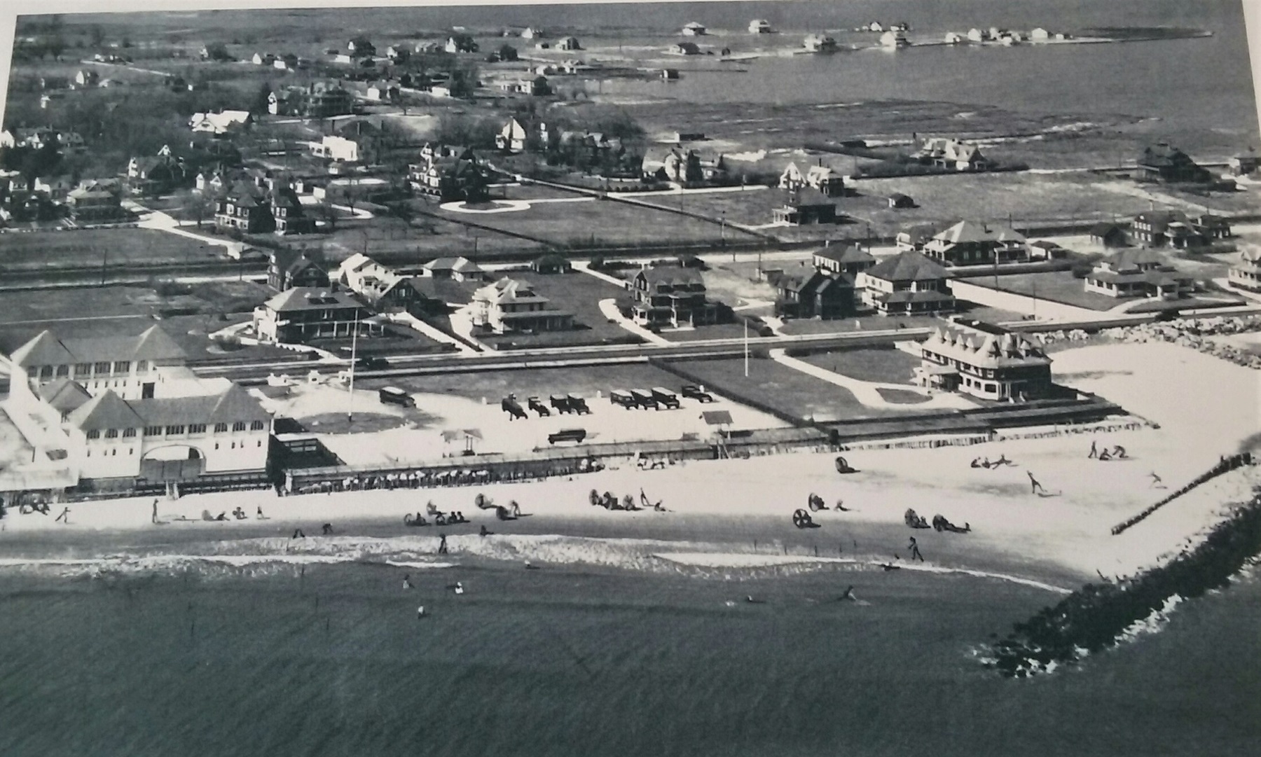
Over & Above — Monmouth Beach shoreline, 1950s.

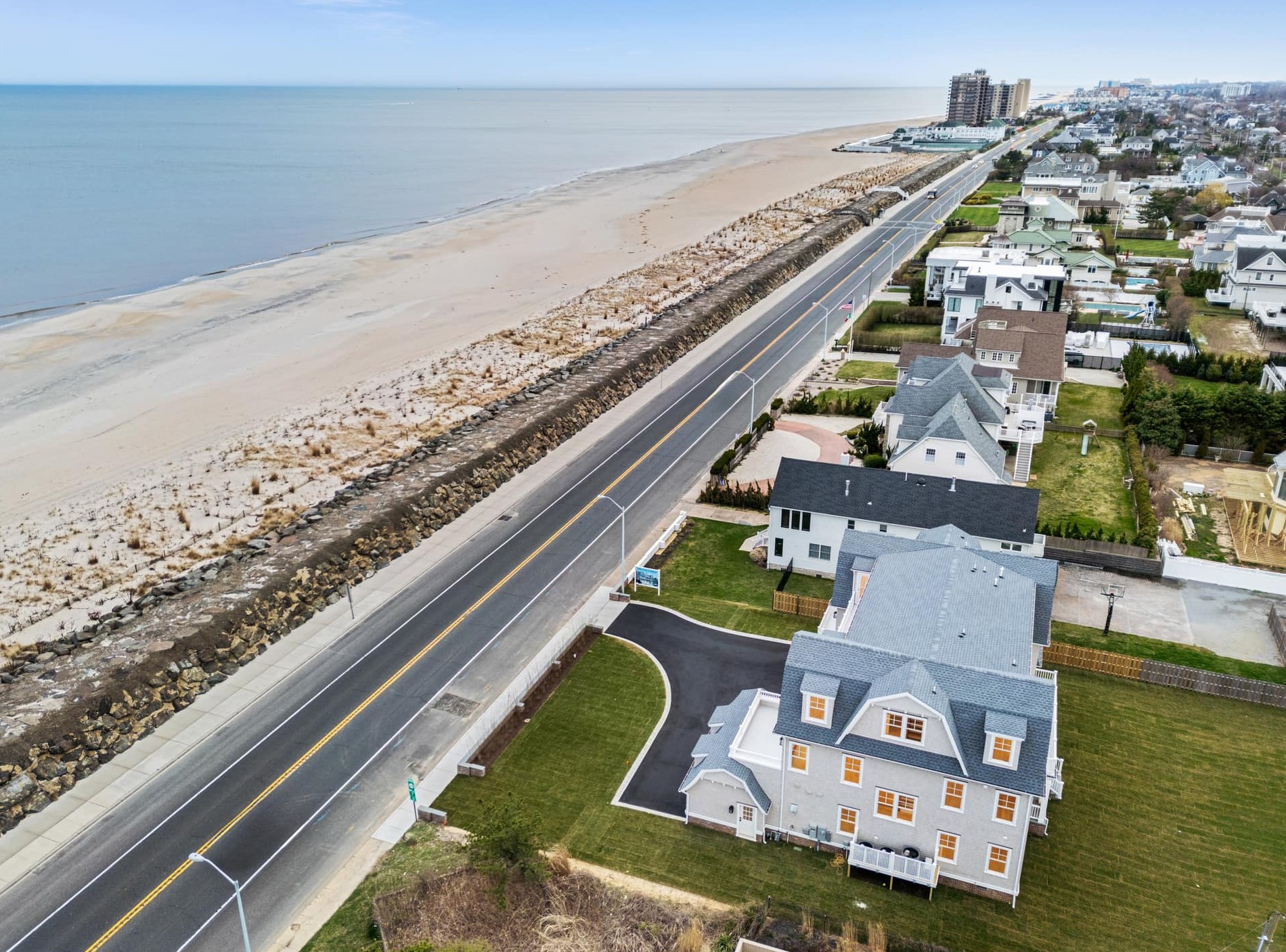
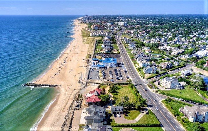
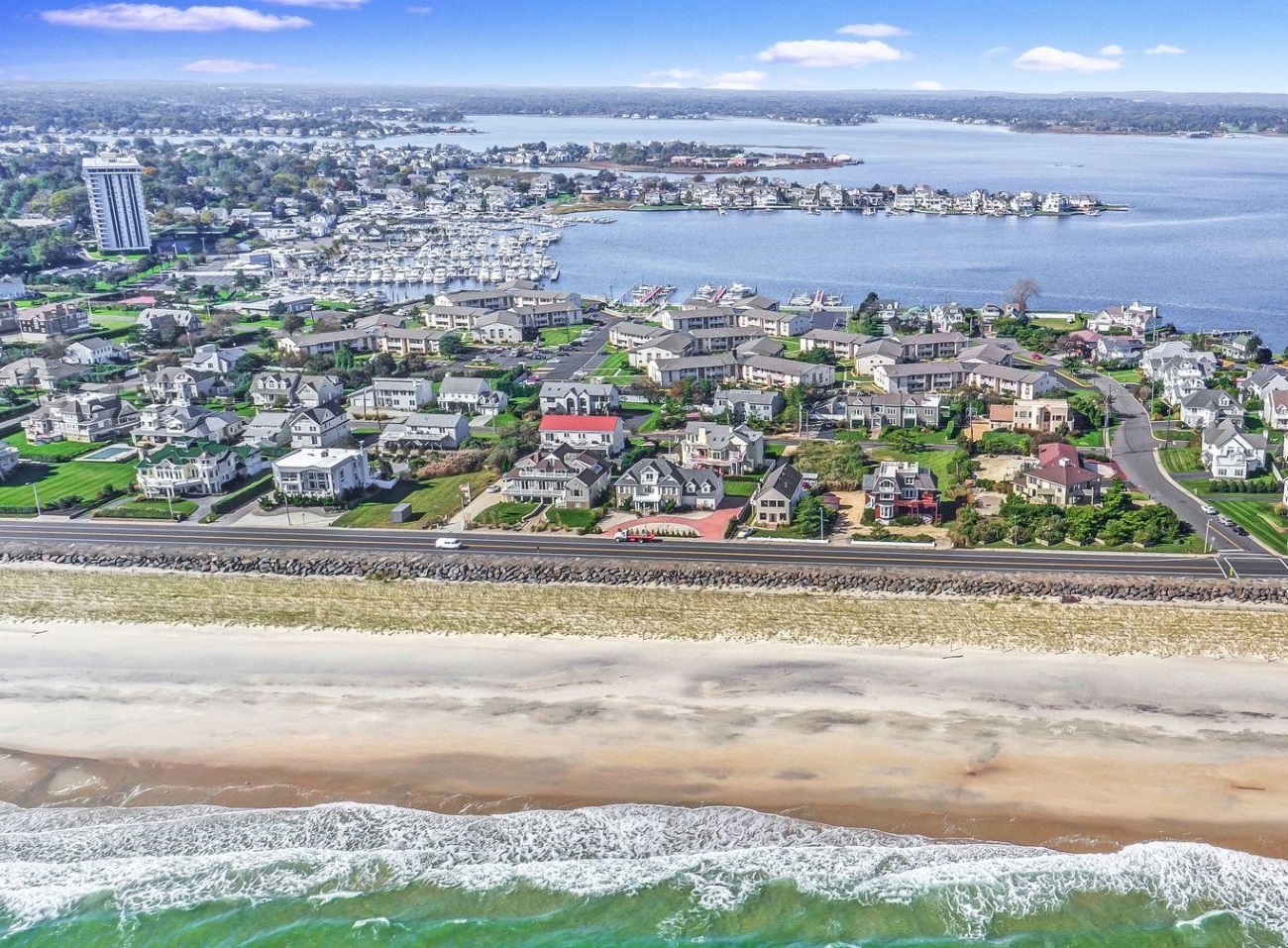
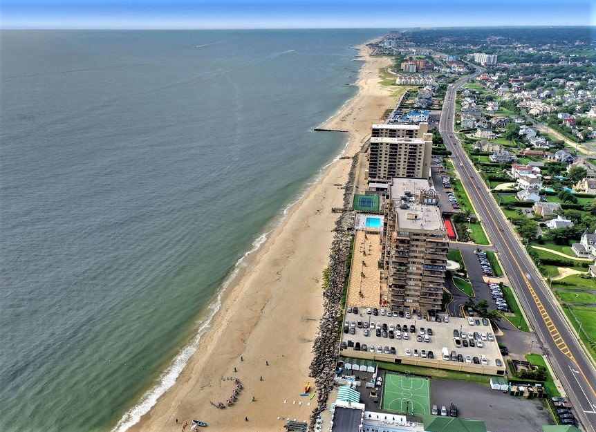
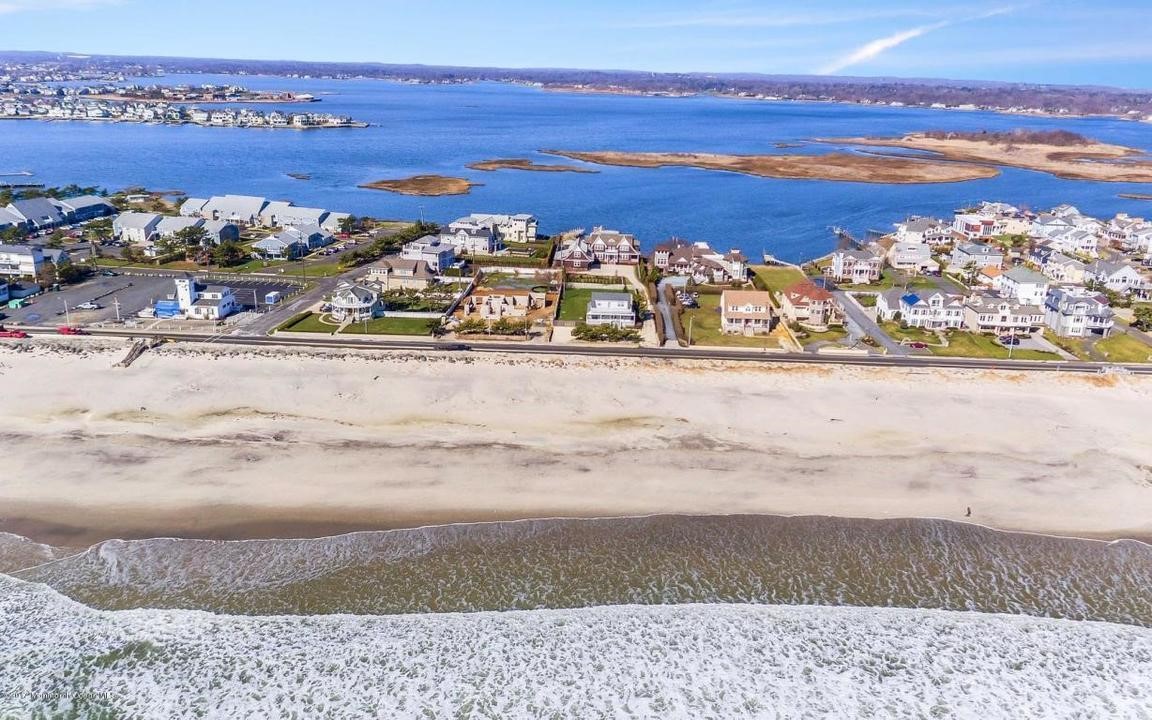
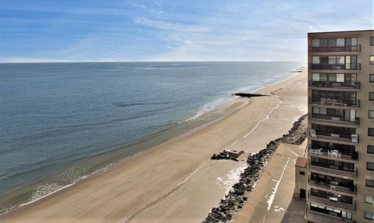
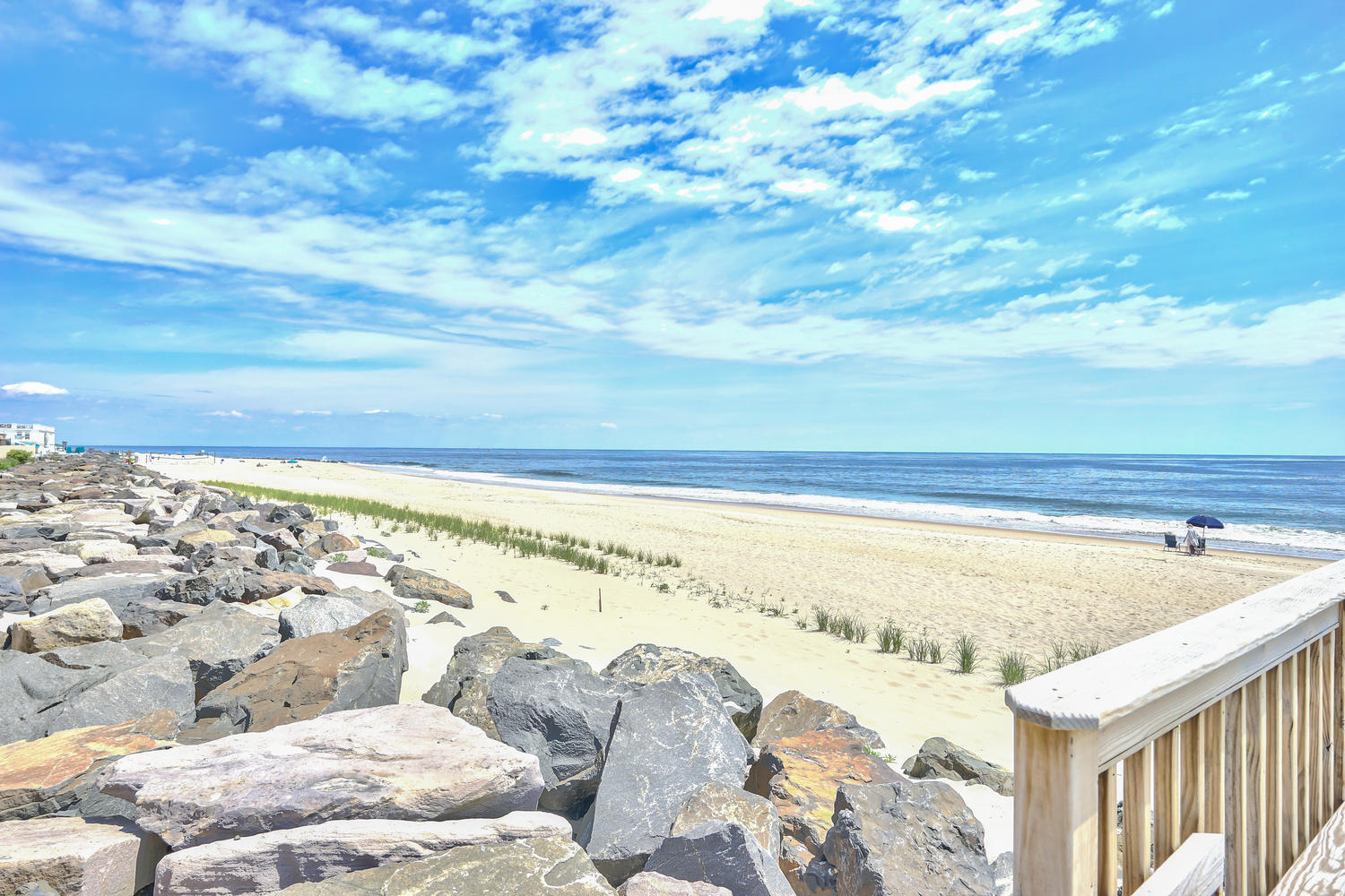
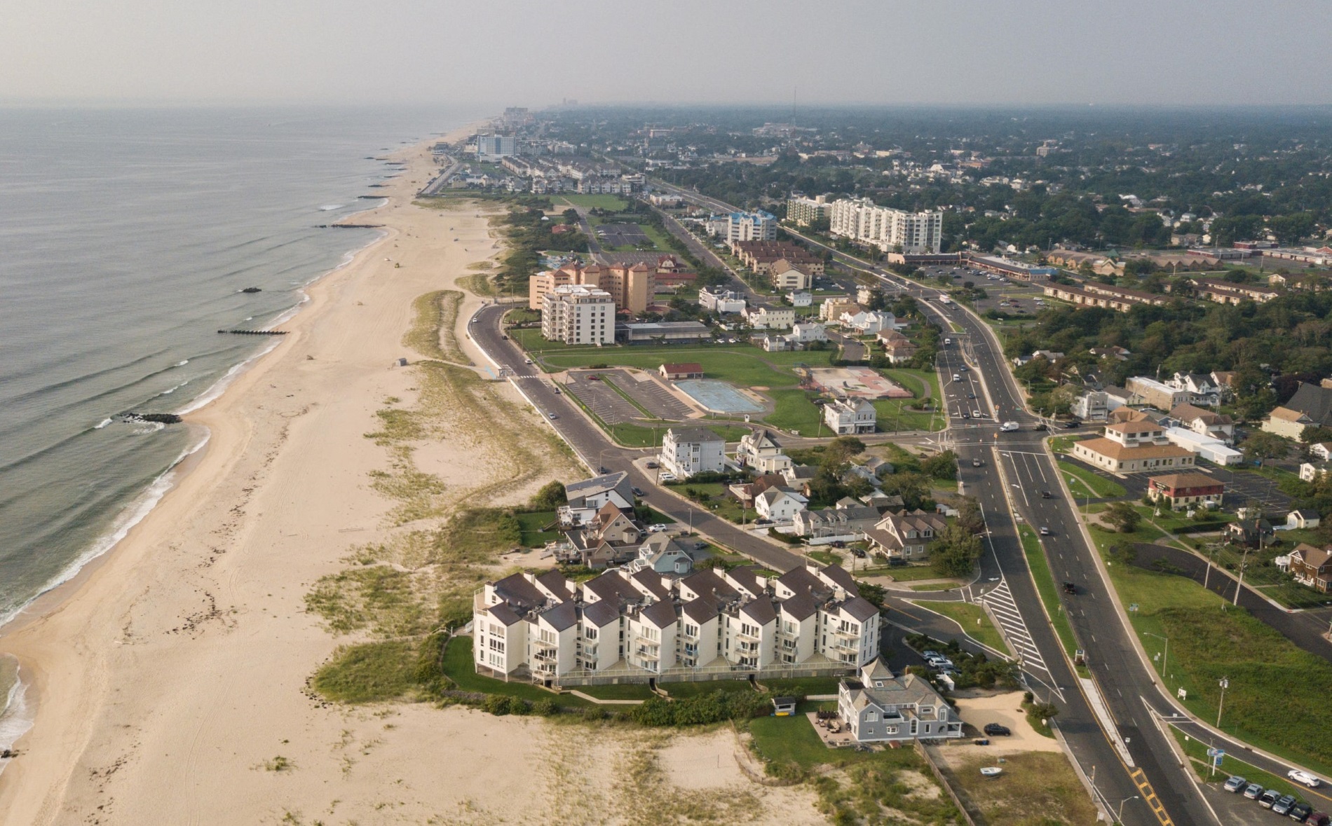
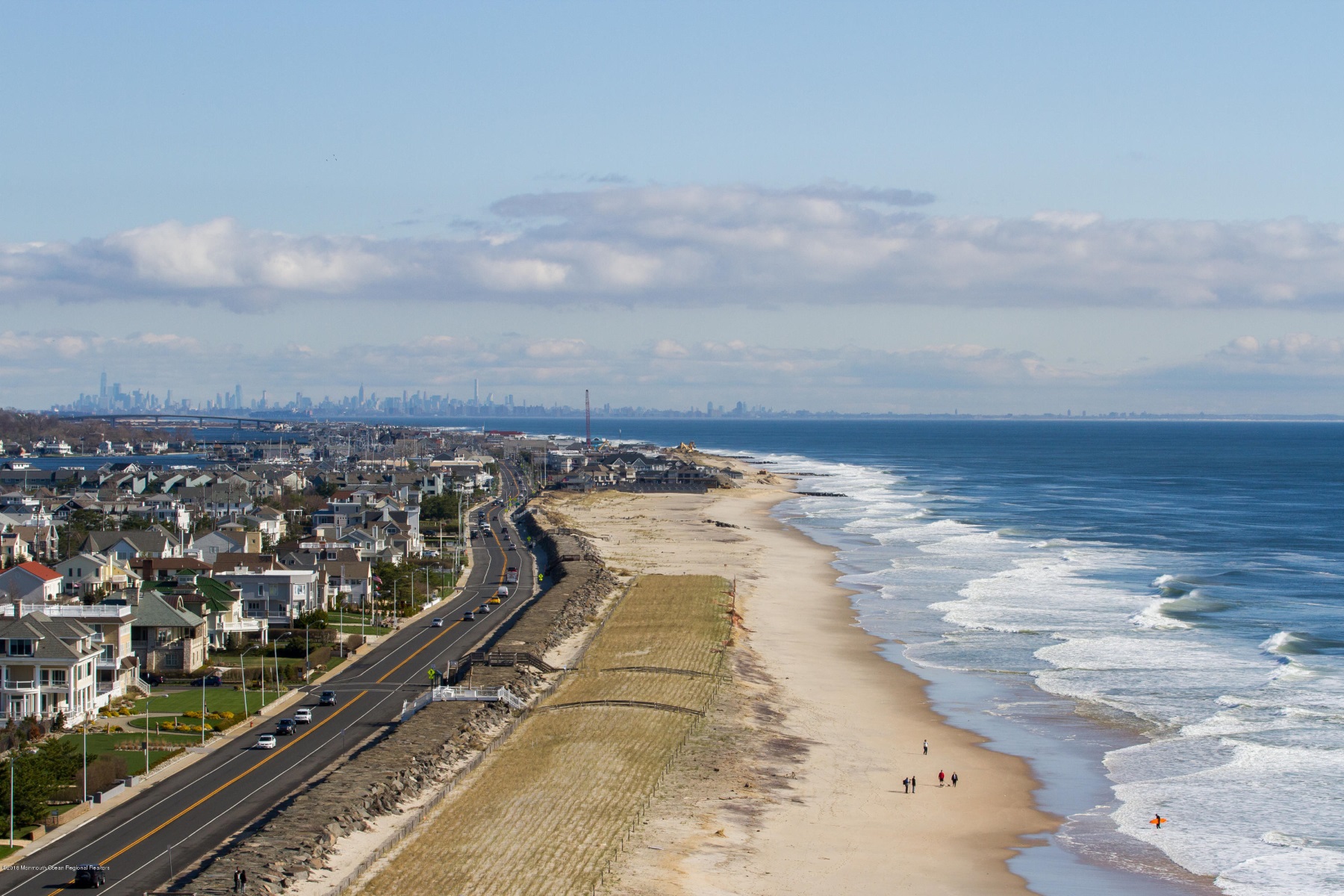
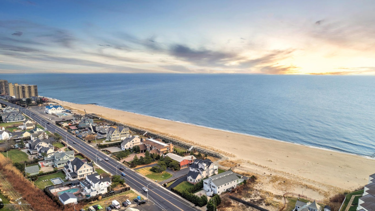
Down the Shore — Monmouth Beach coastline looking south, Spring 2025.

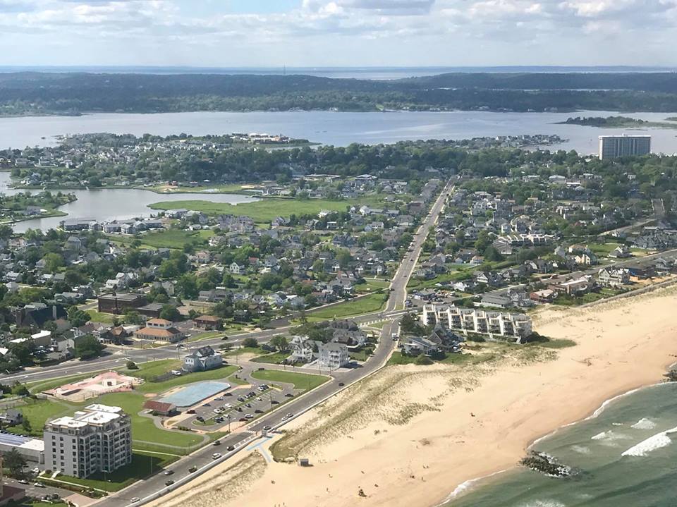
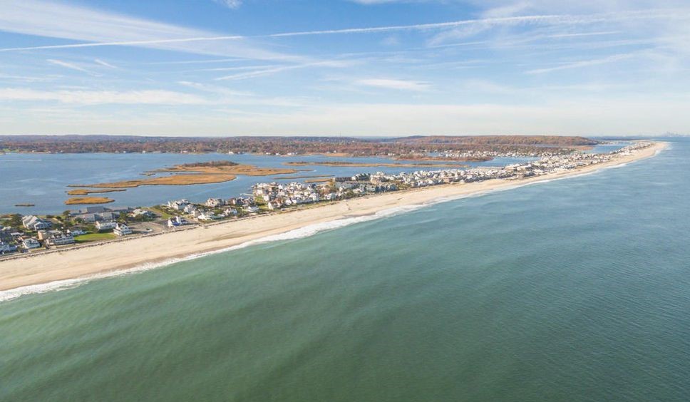
Shrewsbury Stretch — Monmouth Beach in the distance seen from Rumson, Winter 2020.
Creek Crossing — New Patten Avenue Bridge under construction, 2005. The first bridge over Manahasset Creek was opened in 1924 — linking Monmouth Beach with North Long Branch. The new bridge built by the county cost $4.2 million. According to 2002 borough police statistics, 50% of all auto traffic entering or leaving MB use the bridge

Sky High — Monmouth Beach aerial image from 20,000 feet, Fall 2024 (Bob Witek Photo).

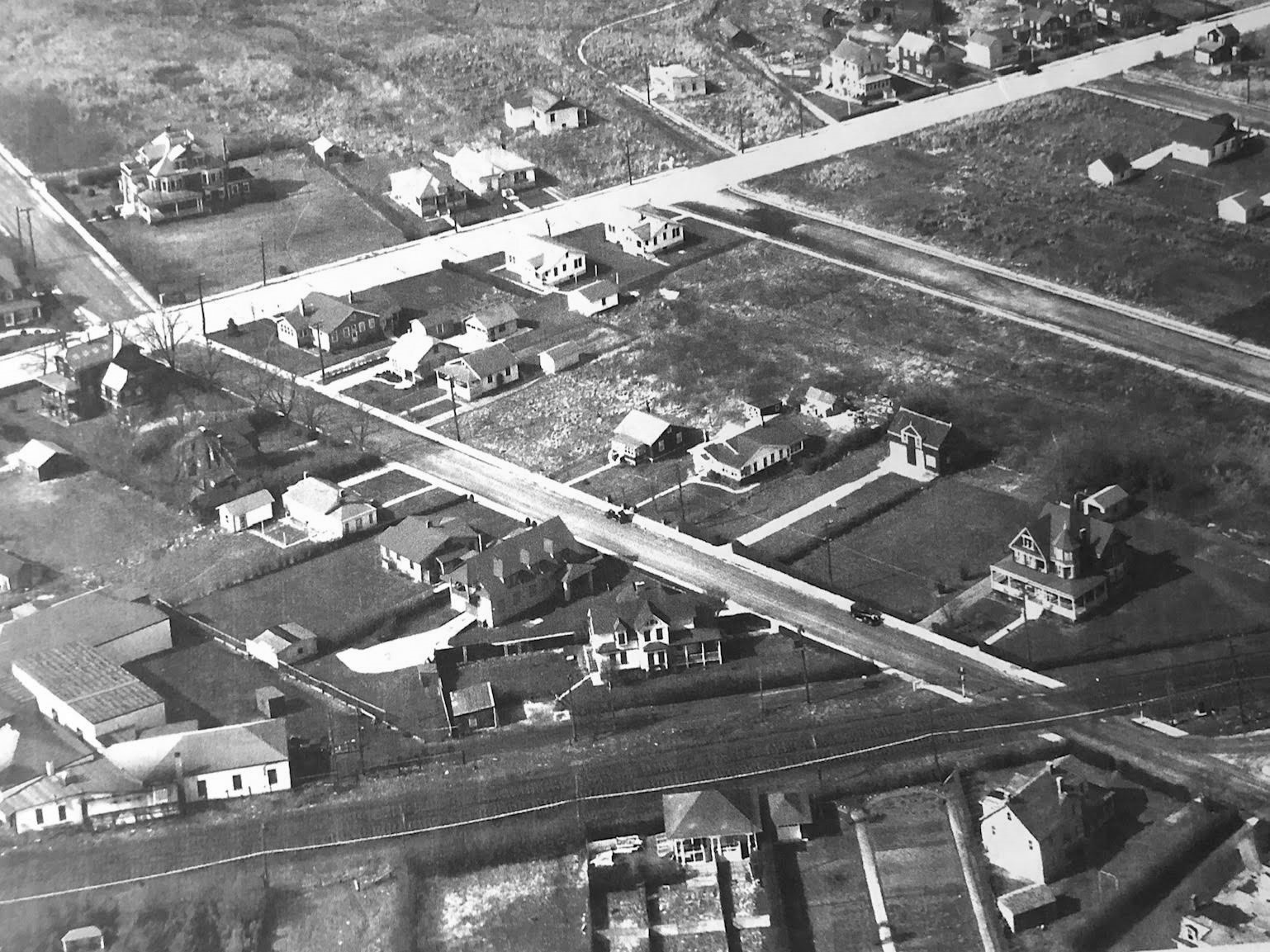
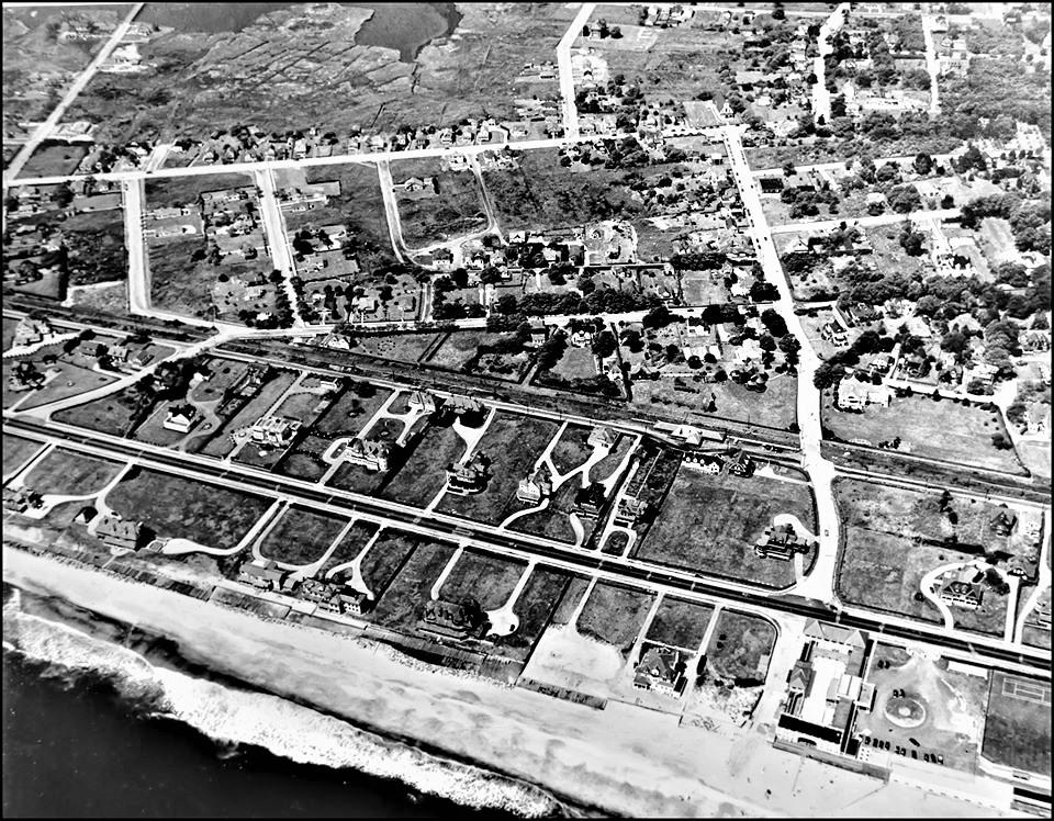
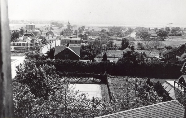
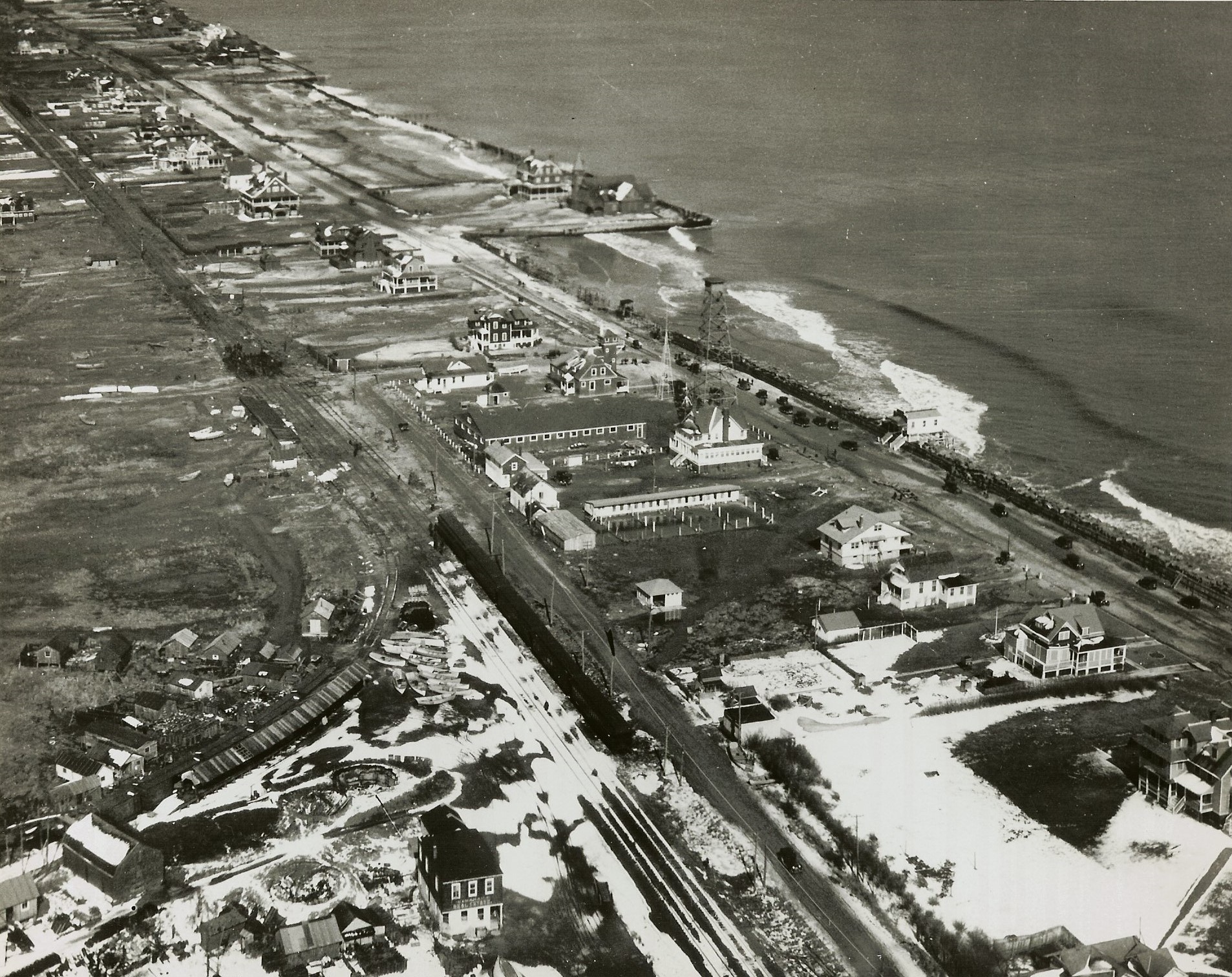
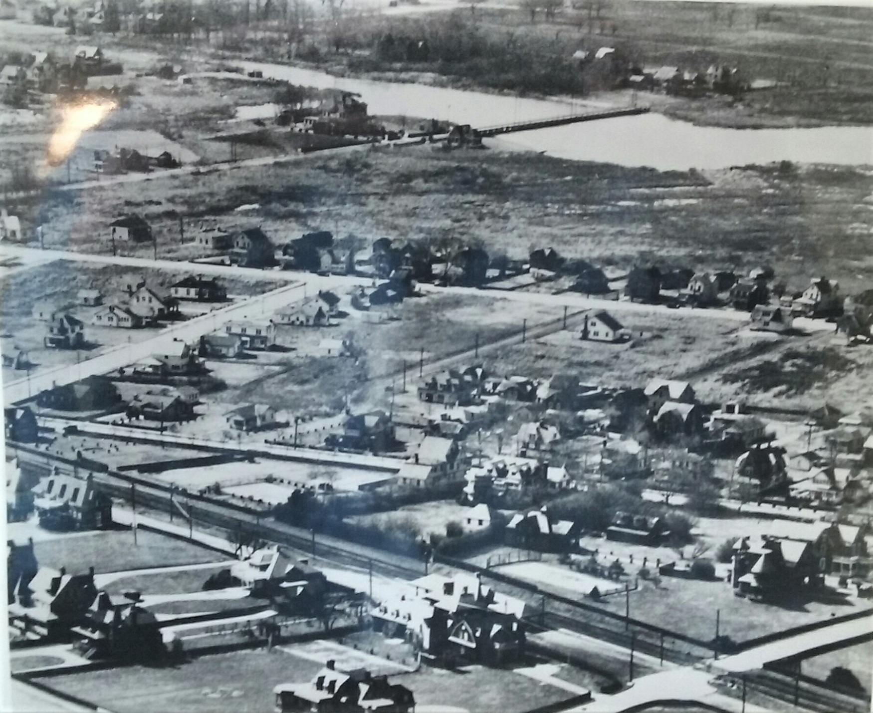
The Line Up — This 1930s aerial image of Monmouth Beach shows the Valentine Street Bridge (top), Pete’s Inn (center) and the borough railroad station (bottom).

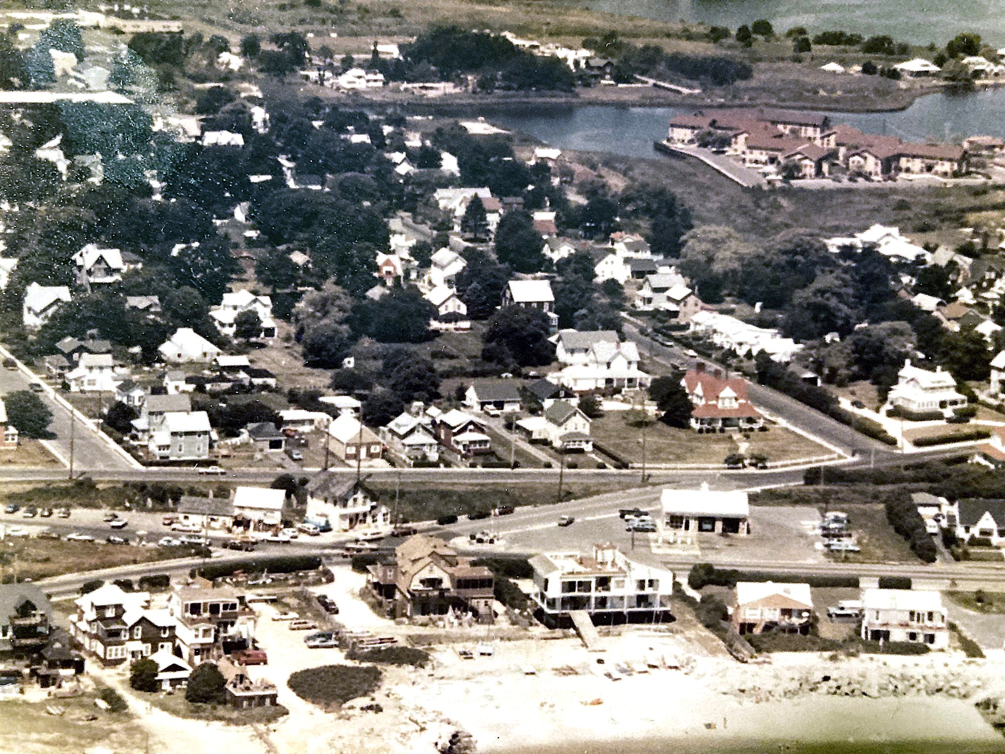
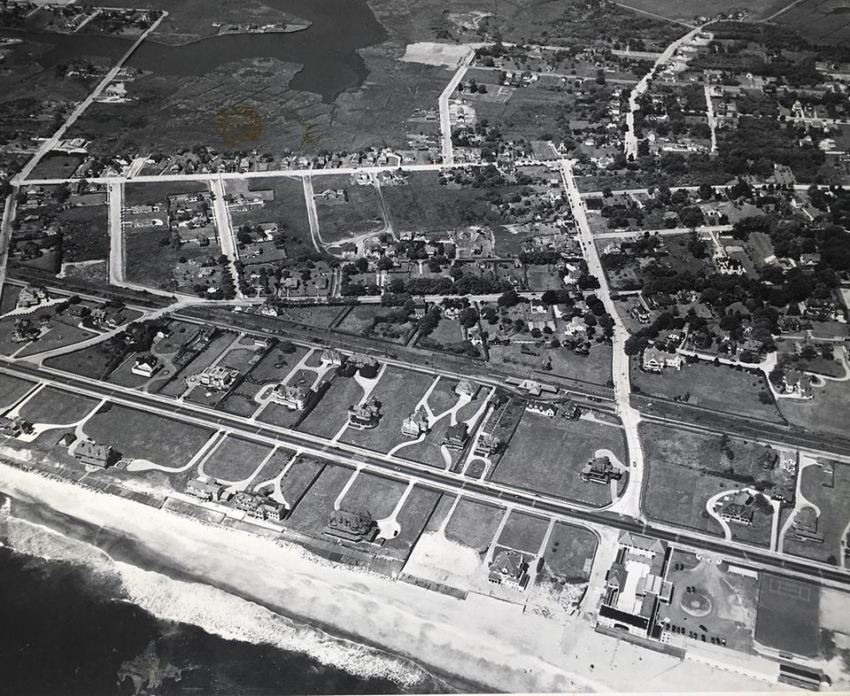
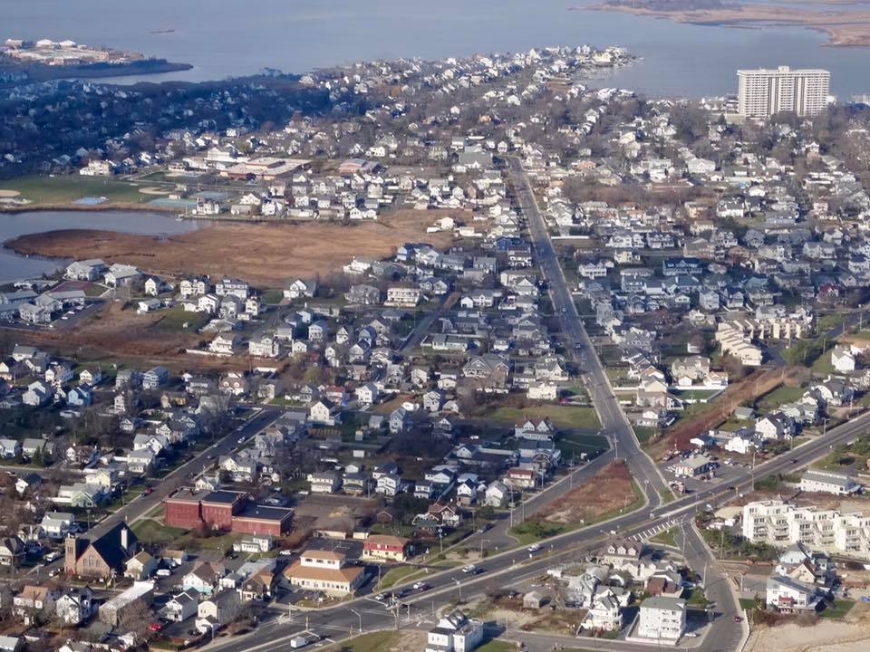
Center Cut — This 2017 aerial image of Monmouth Beach shows Riverdale Avenue cutting through the guts of town. The three-quarter-mile street was officially “Fresh Pond Road” until June 1908 when the borough council changed the name.

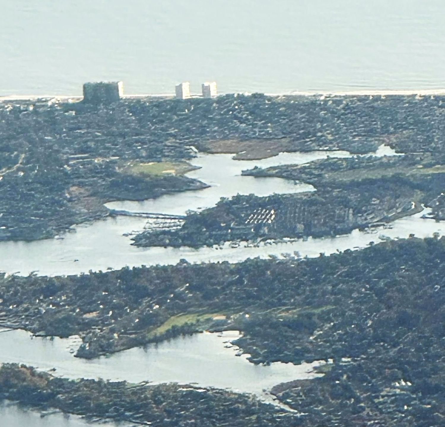
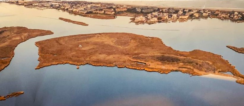
At the Tip — “Raccoon Island” in Monmouth Beach aerial image, July 2017 (Frank Snead Photo).

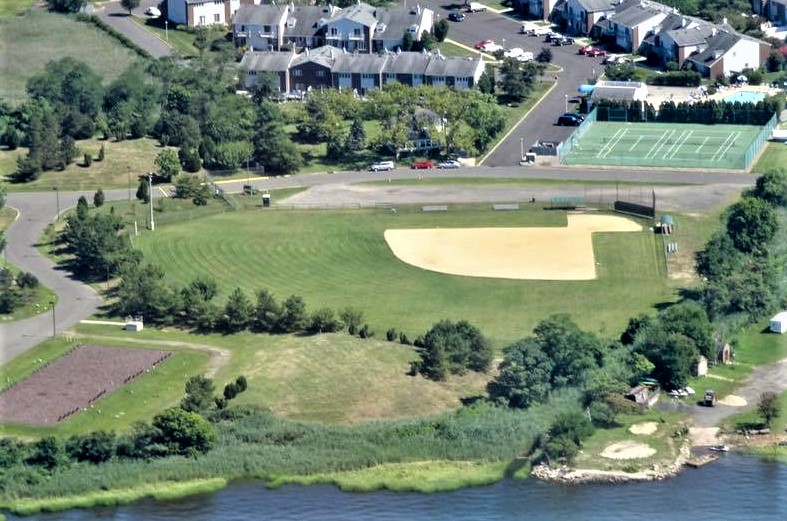
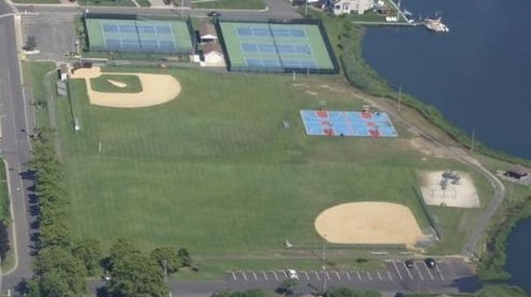
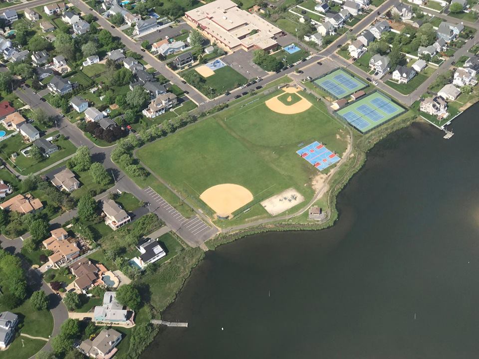
Game Called — “Raccoon Island” old baseball field aerial image, July 2017 (Frank Snead Photo).

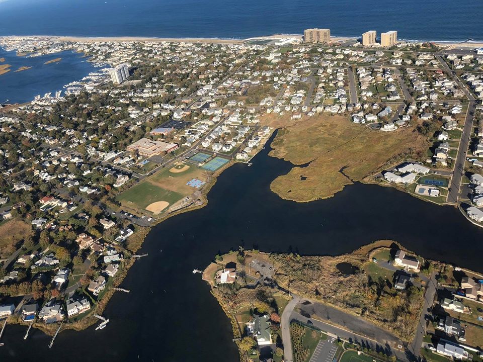
Over the River — Monmouth Beach and North Long Branch around Manahasset Creek, Winter 2024 (David Booth Photo).

Over & Above — Monmouth Beach aerial image, Winter 2016 (Frank Snead Photo).

Shore Neighbors — Monmouth Beach-Long Branch borderline, 1933.

Public Improvement — Griffin Park under renovation, Spring 2024 (David Booth Photo).
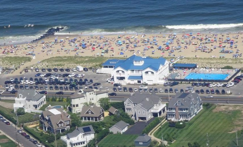
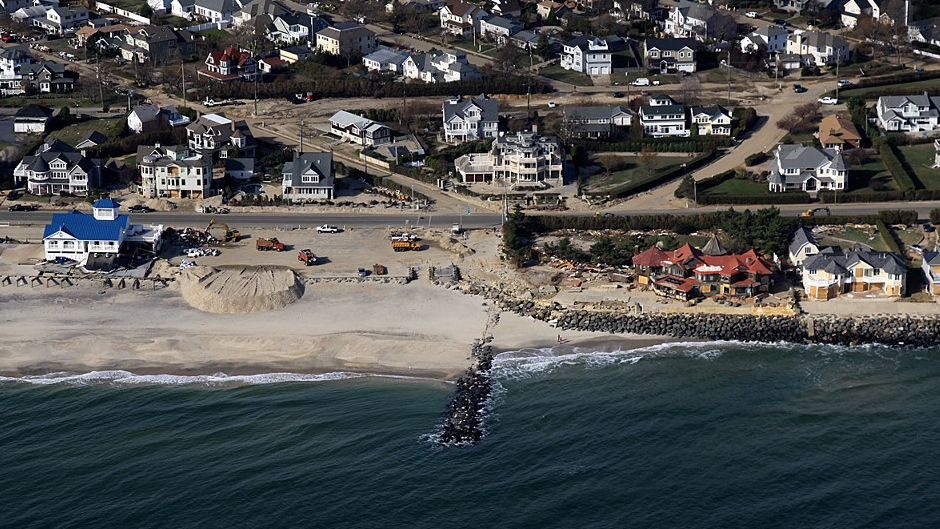
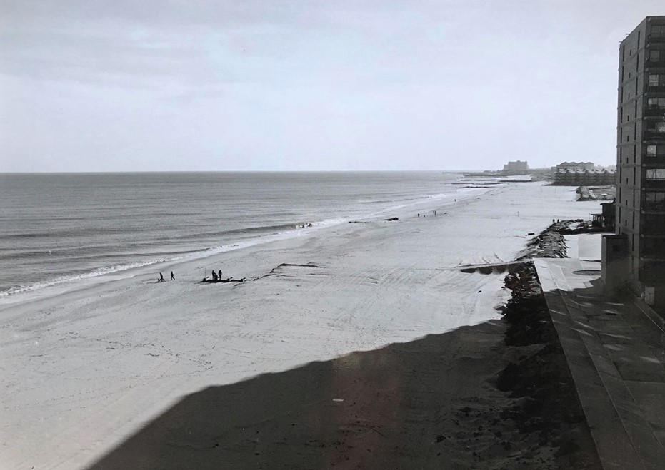
Beach Building — Monmouth Beach shoreline looking north during the recent sand replenishment project, March 2024 (StansPhotos.com). The nation’s biggest ever sand replenishment project began in Monmouth Beach in May 1994. The US Army Corps of Engineers selected Weeks Marine of Cranford Twp. to manage the $19.6 million project. More than 7.5 million tons of sand were pumped ashore 30 years ago.
Out to Sea — Monmouth Beach shoreline during the recent sand replenishment project, March 2024 (StansPhotos.com). The taxpayer’s end for this most necessary of deals is about $1.5 million, said Mayor David Stickle.
Sands of Time — The newly replenished beach at the MBBP, 1995.
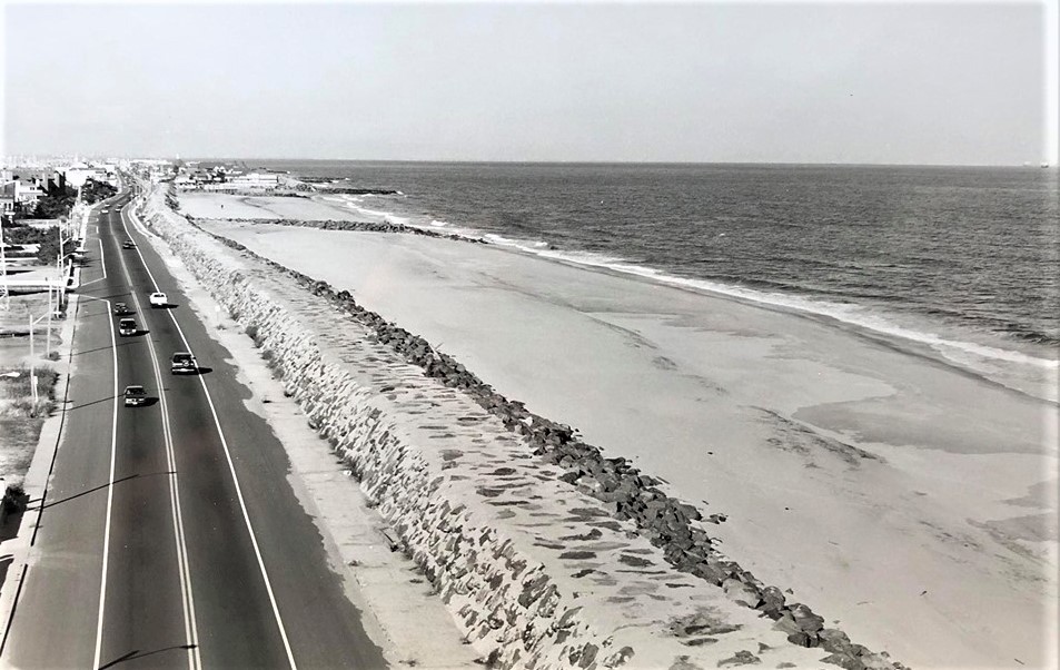
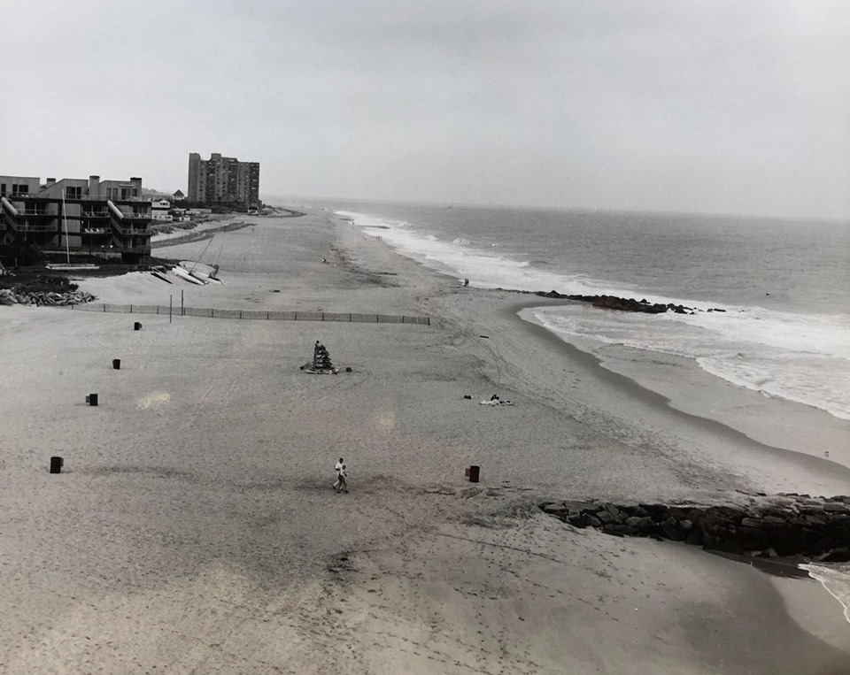
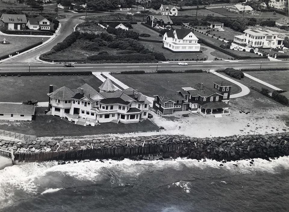
Going Away — Ocean Avenue looking north, April 2024. The first stone seawall from Sea Bright to Monmouth beach was built in 1931; it was 17-feet in height.
Water All Around — Shrewsbury River Island in the middle of the river, 2020s. Technically, the 15-acre land is part of Ocean Twp.
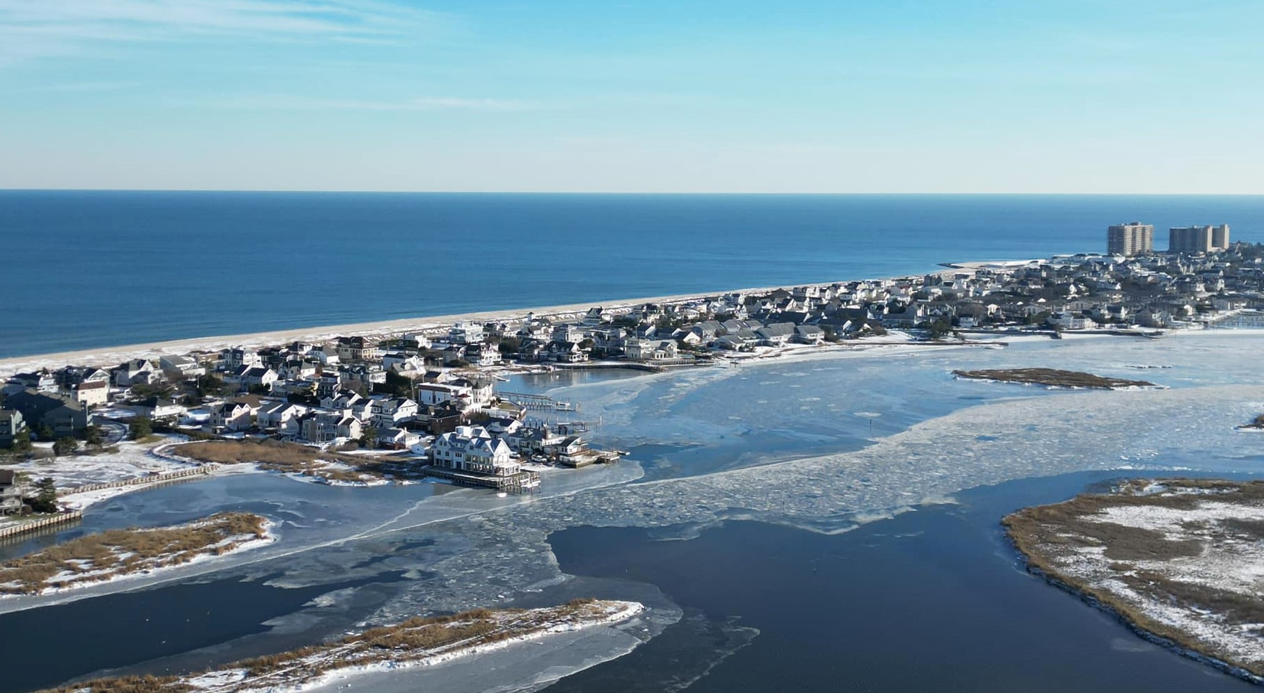
Winter Shoreland — The Monmouth Beach coast, January 2024 (Matt Katzenberger Photo).
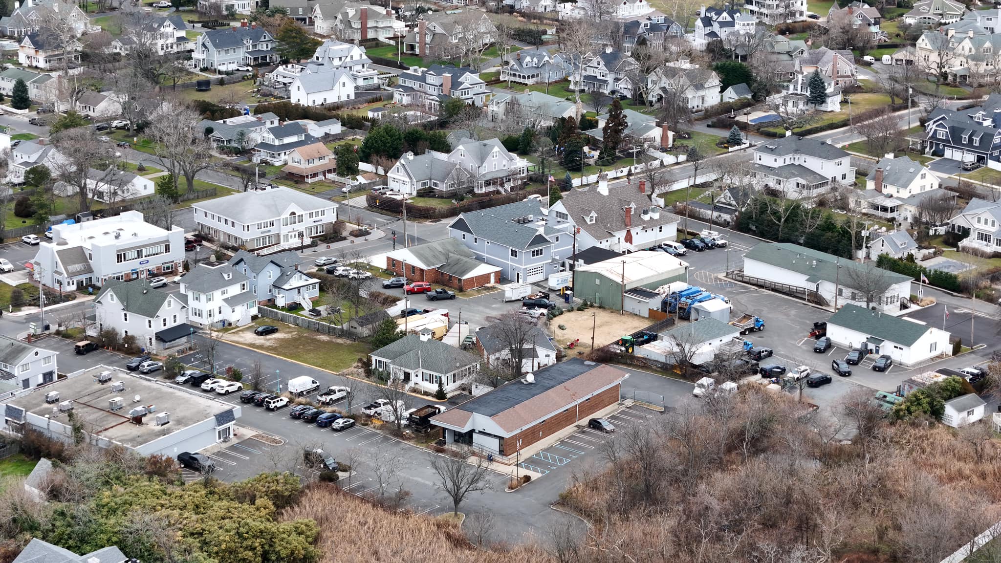
Borough Guts — Monmouth Beach center of town, January 2024 (David Booth Photo).
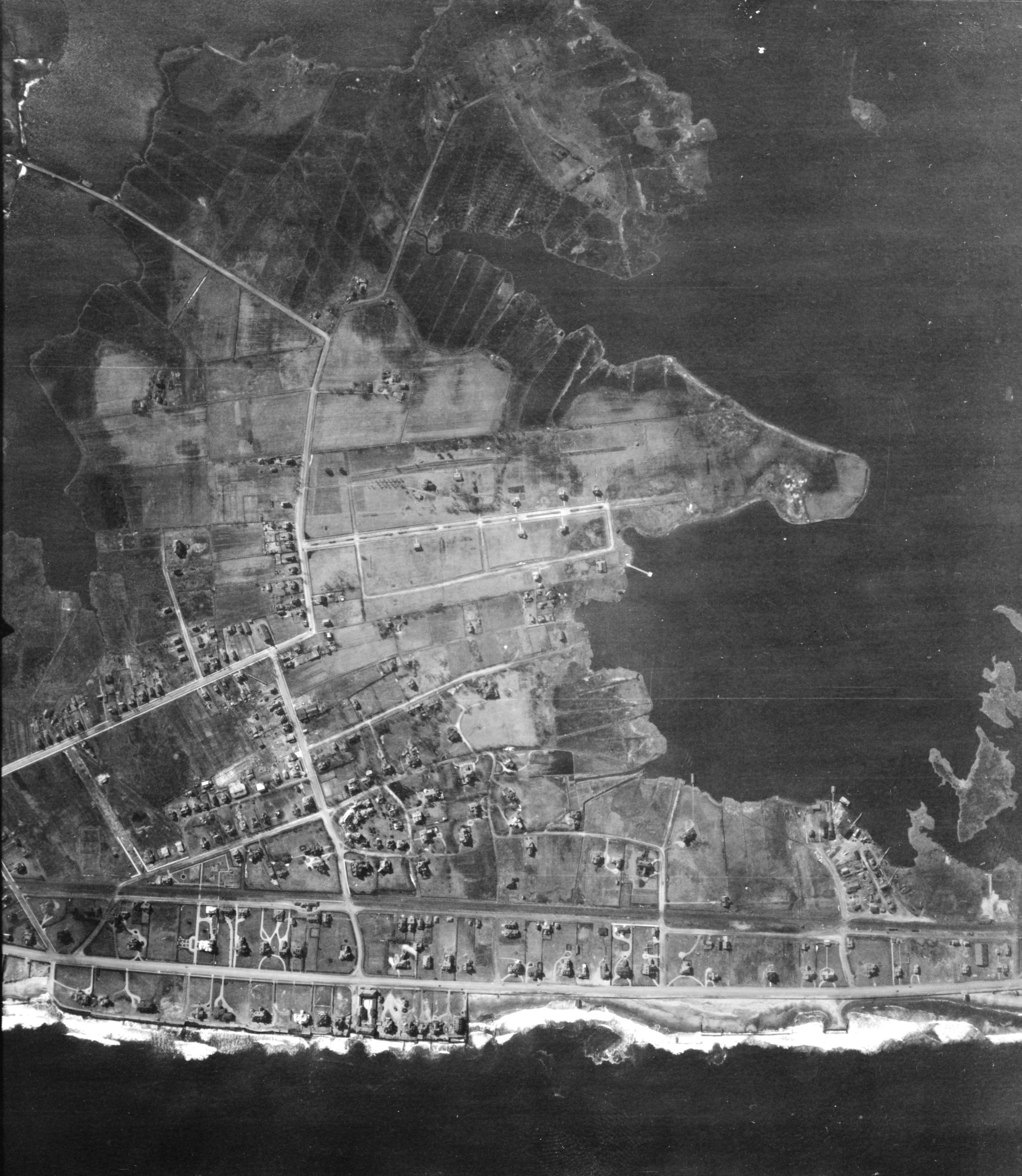
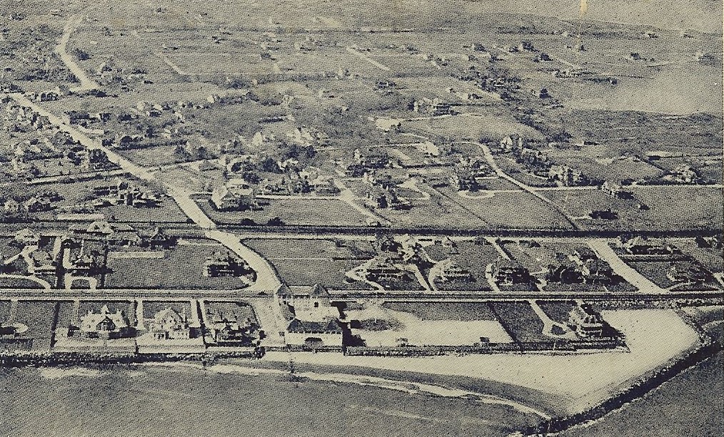
A Century Later — Monmouth Beach aerial image, 1920 (US Army Air Service Photo).
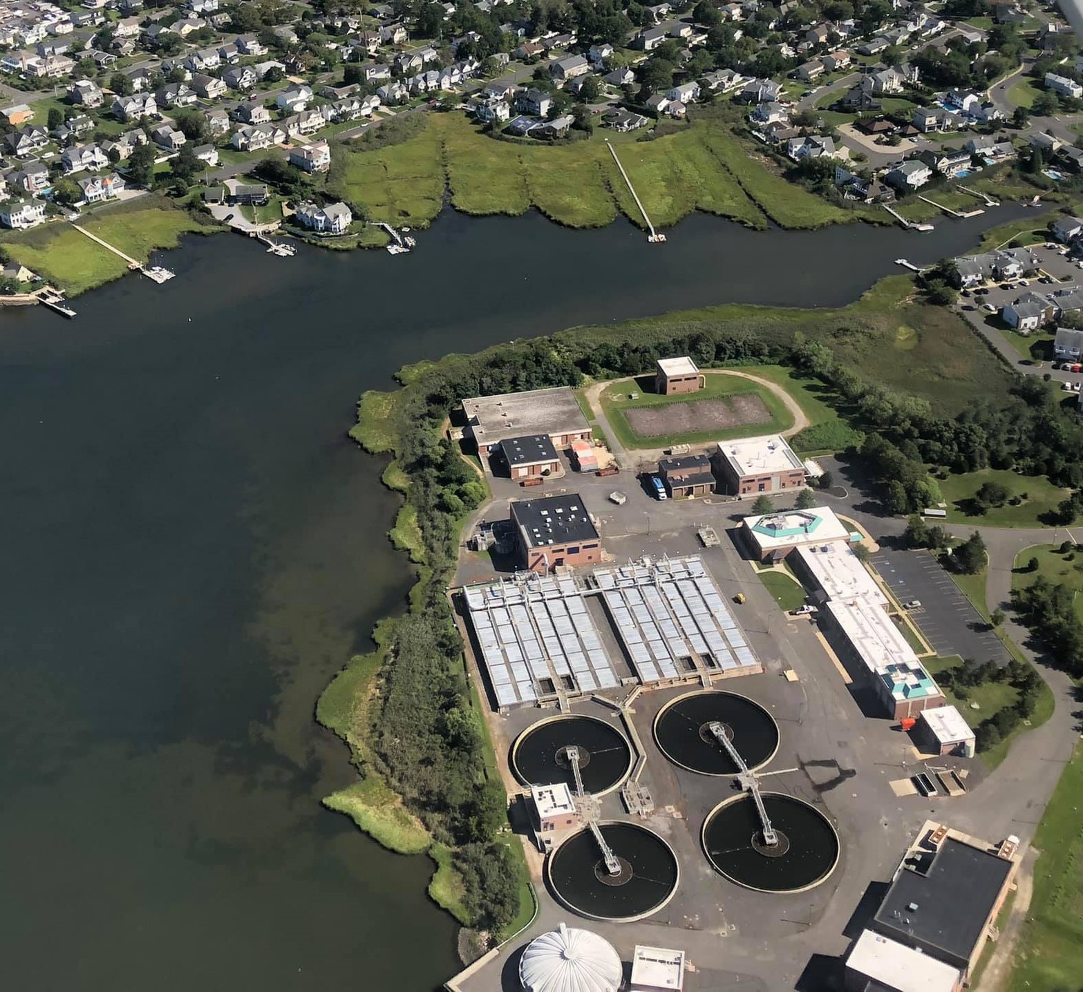
Space for Waste — The Two Rivers Water Reclamation Authority on Racoon Island, Summer 2021 (Frank Snead Photo) — MORE INFO. Fancy name for sewerage plant.
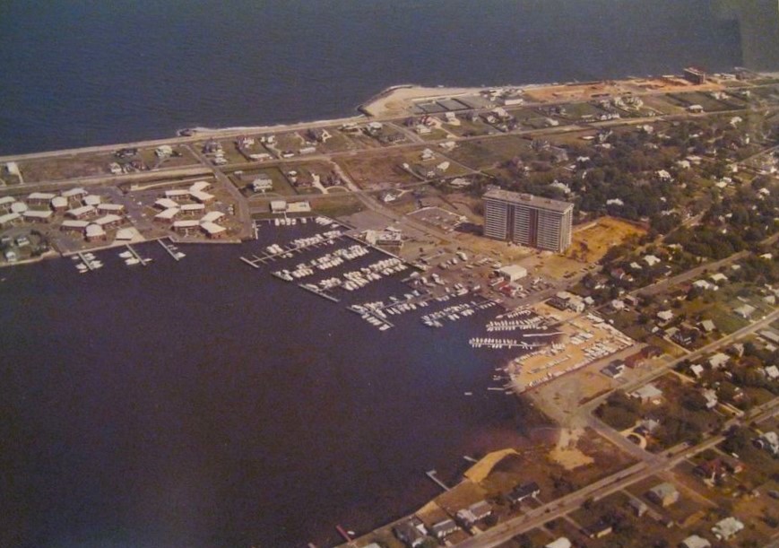
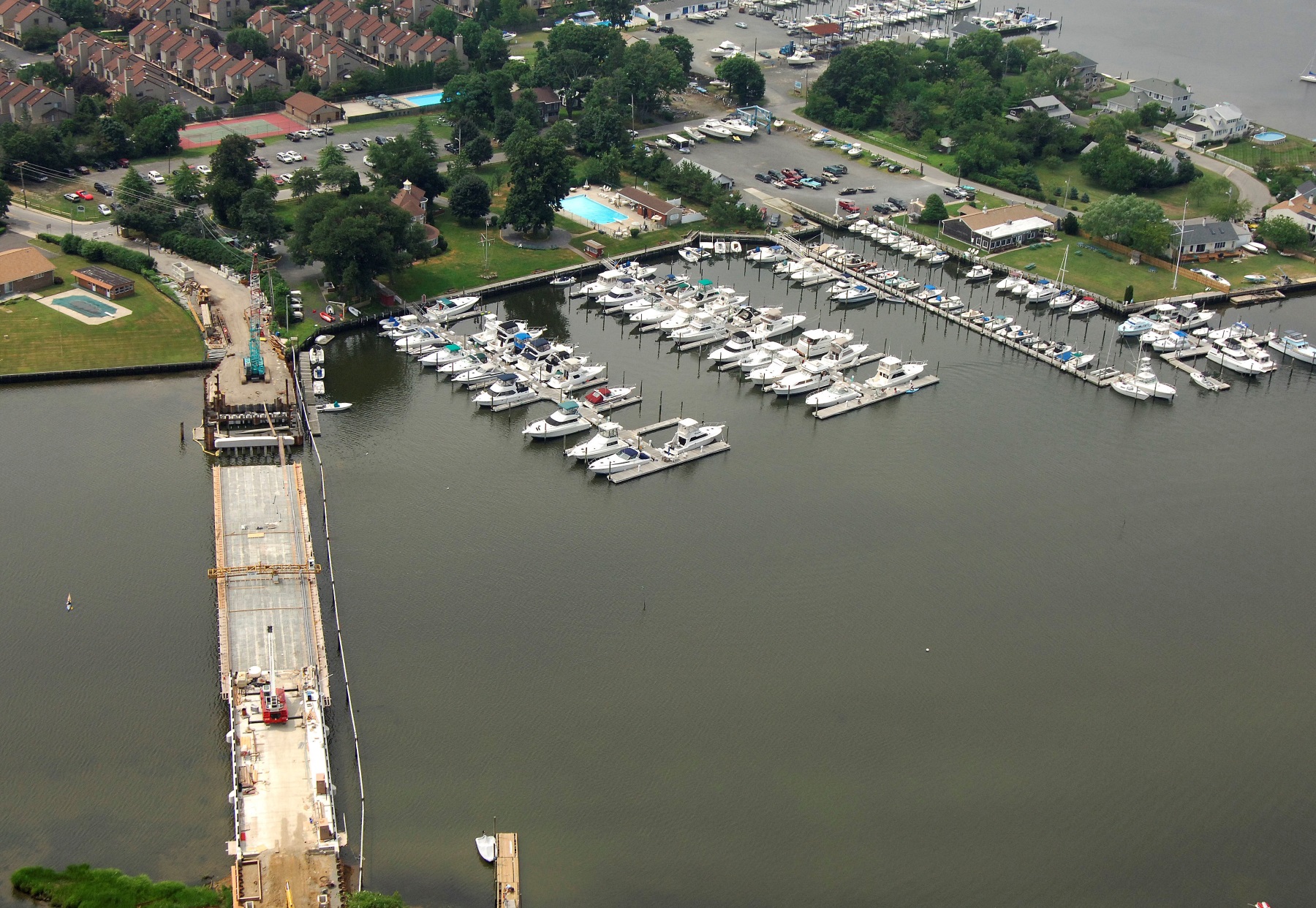
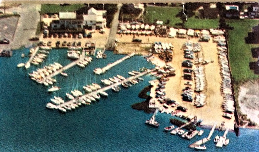
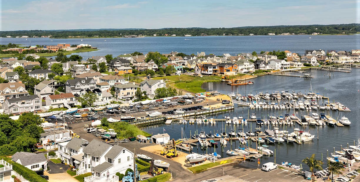
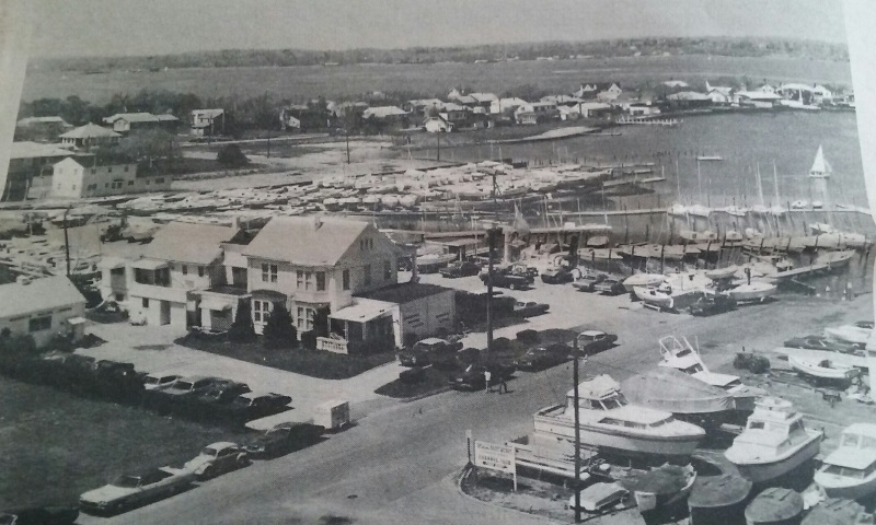
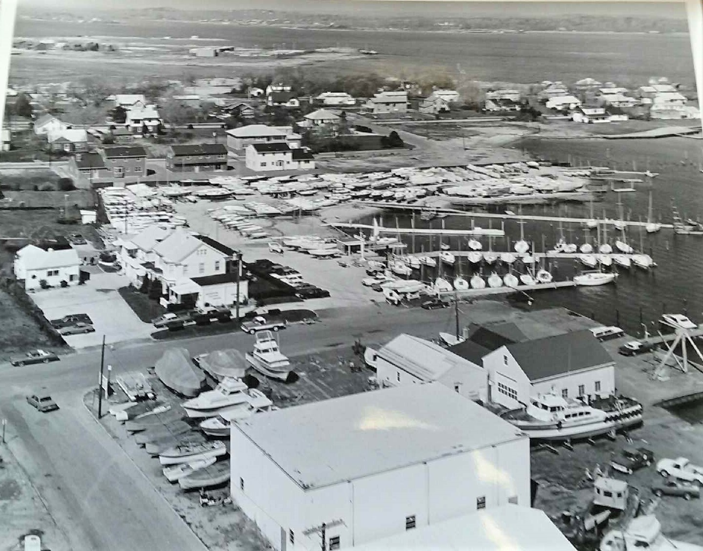
Boro Bay — Monmouth Beach marina area, 1970s (Stephenson Air Photos).
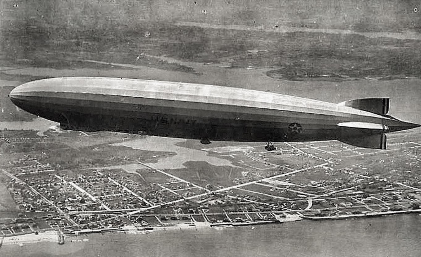
Navel-Gazing — The USS Los Angeles over Monmouth Beach and North Long Branch (Underwood Photo, 1926). The German-built zeppelin was the US Navy’s longest-serving rigid airship. The 656-foot blimp with crew of 40 had a max speed of 75 mph and 5,800-nautical-mile range. Used mainly to observe/experiment; the helium-filled, gas-powered dirigible was scraped in 1939.
A whole lot of Monmouth Beach, 1930s (Jack Flaherty Image).

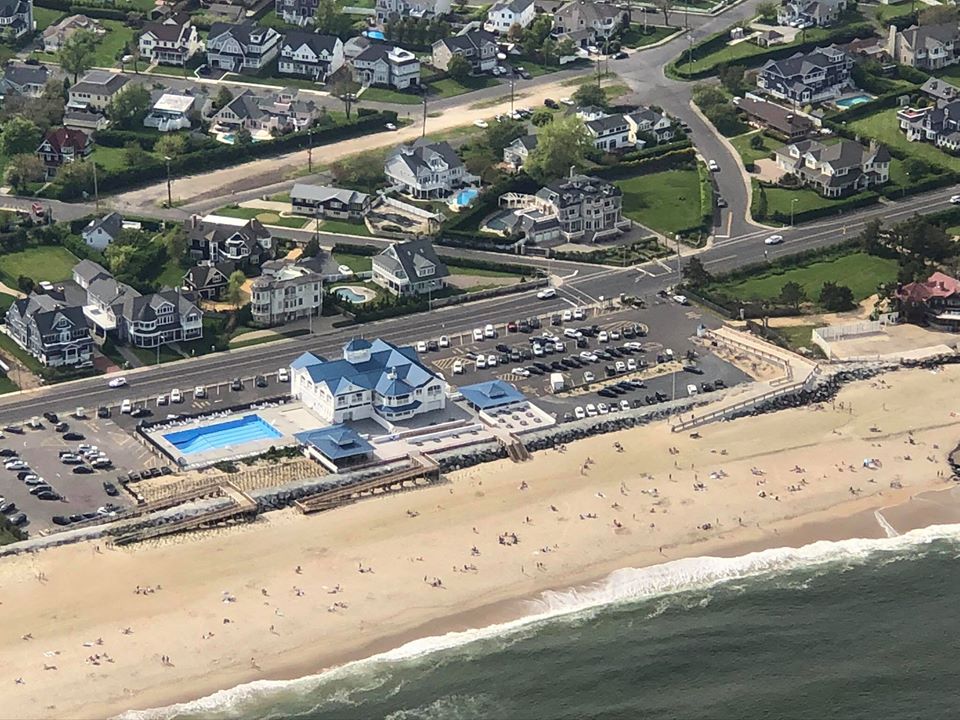
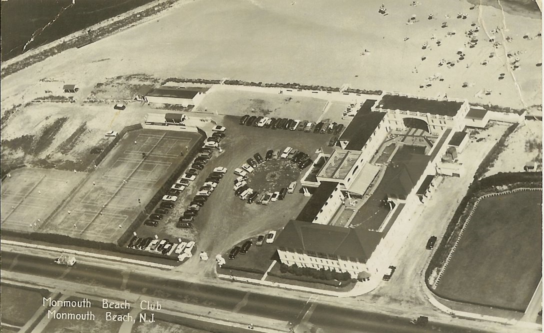
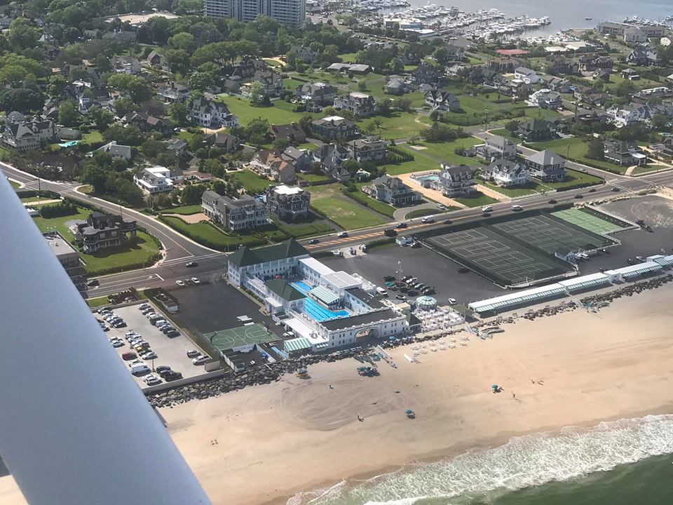
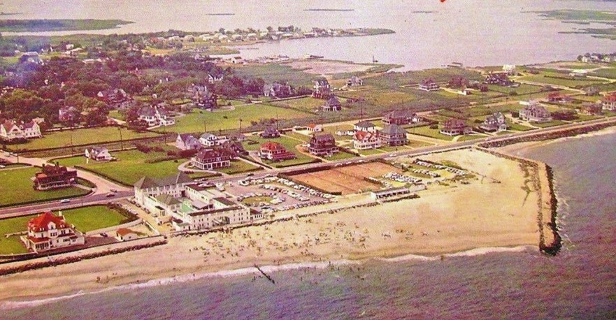
Monmouth Beach coast aerial image — focused on the MB Club, 1950s.
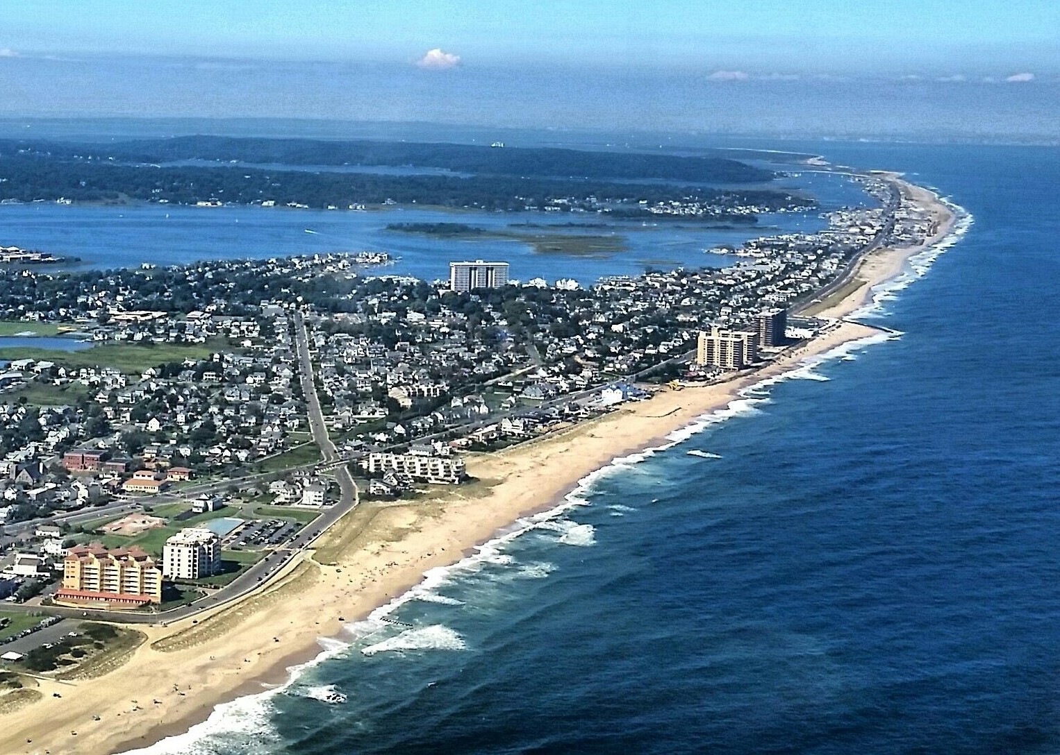
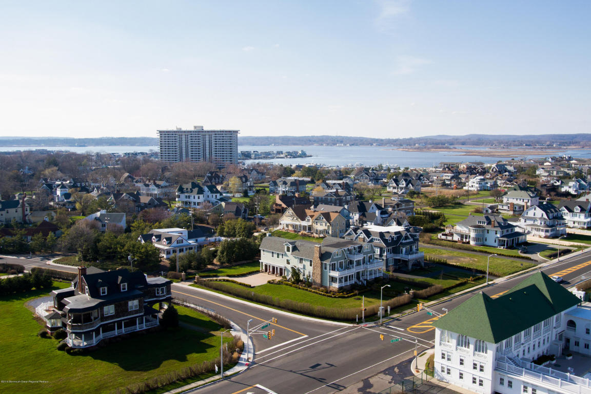
Our “Two Rivers” from above — the Navesink and Shrewsbury, 2000s.
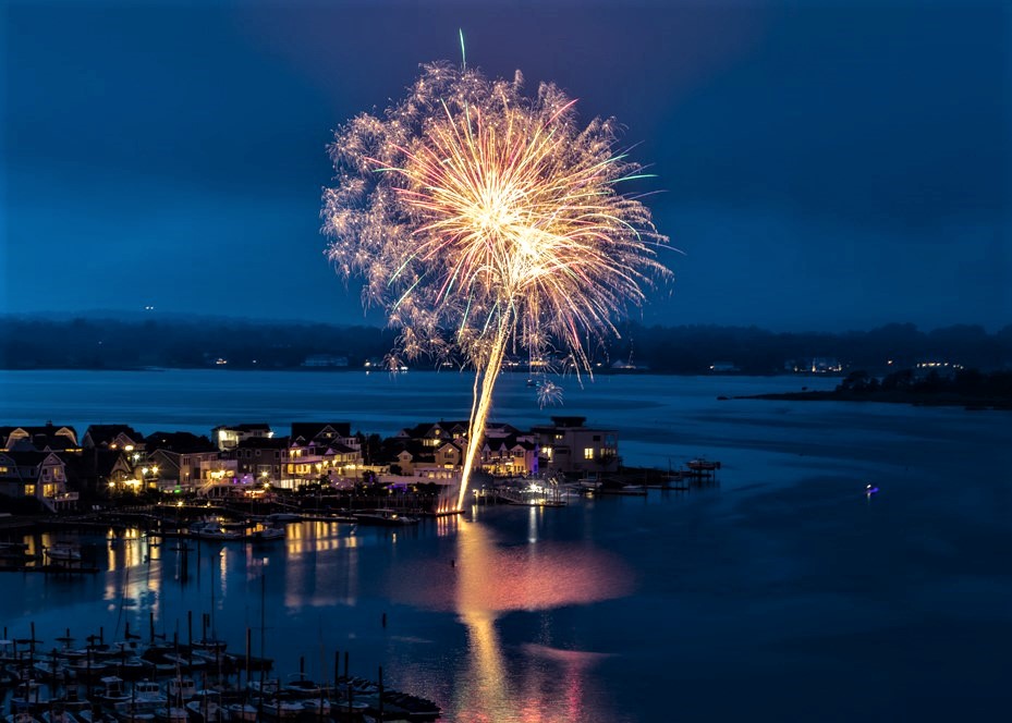
Fireworks display over Monmouth Beach, 2020.
Valentine Street and Riverdale Avenue area aerial image, 1930s. (Kerry Murray Lawlor Photo).

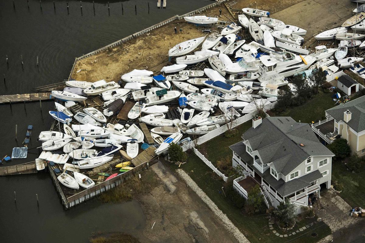
Ocean Avenue storm damage, 1950s.
Monmouth Beach coast looking south, September 2022.
Monmouth Beach coast aerial image, 1930s.
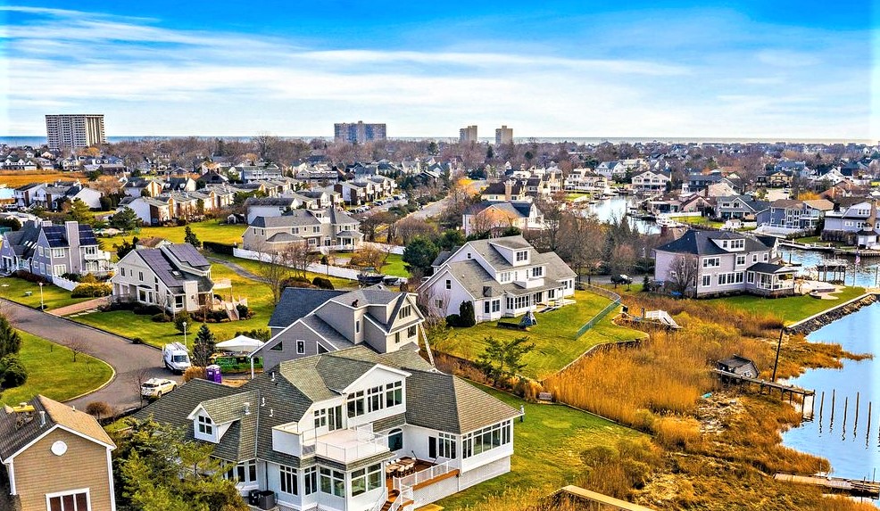
MB from above, May 2022 (O’Brien Realty Photo).
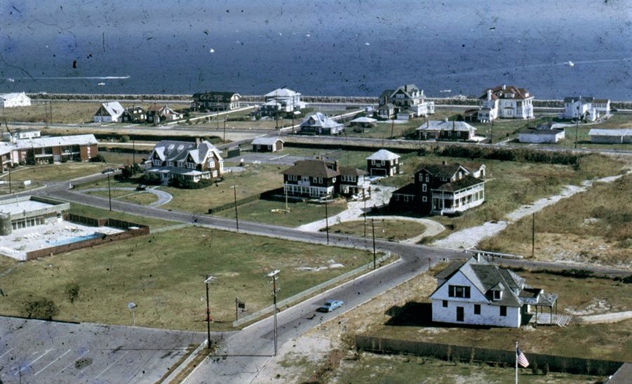
MB from above in the 1950s.

Islands of the Shrewsbury River off SB and MB, 2018 (Frank Snead Photo). Most of the land is in fact owned by Ocean Twp. — which MB was part of until 1906 — and is now about 5 miles to the south. Records show that there is private ownership too. All could be developed theoretically.
Patten Avenue Bridge into Long Branch, 2021.
MB coast looking south, 2021.
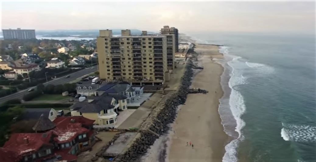
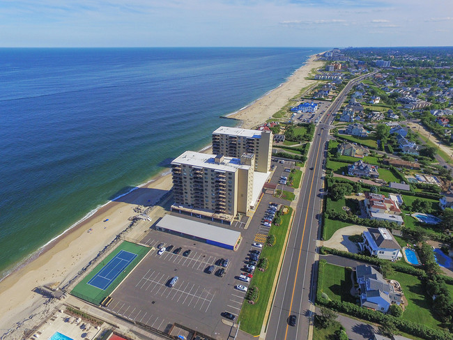
The Admiralty high-rise condo property on Ocean Avenue, 2020.

Racoon Island, Monmouth Beach, 2022 (O’Brien Realty Photo).

Monmouth Beach aerial image, 1920.

Channel Club Tower and marina area, December 2016 (Gannon Holsey Photo).

Monmouth Beach coast aerial image, April 1927.

MB coast after a snow storm, January 2022.
Highland Avenue on Racoon Island, 2021.
MB Club along the coast, 1938.
MB coast looking north, October 2021.
MB aerial image looking west over Manahasset Creek and up Valentine Street, 2021.
MB coast looking south to LB, Sept. 2021.
At the Long Branch-Monmouth Beach borderline, Sept. 2021 (Frank Snead Photo).
Looking up Beach Road, Sept. 2021 (Frank Snead Photo).

Monmouth Beach aerial image, 1920 (Jack Flaherty Photo).
Monmouth Beach aerial image, 1933 (Jack Flaherty Photo).
Monmouth Beach aerial image, 1962 (Jack Flaherty Photo).
MB aerial image, July 2021 (Peter Kulbacki Photo).

Near the LB-MB boarder, June 2021 (David Booth Photo).
Monmouth Beach looking north, June 2021 (David Booth Photo).
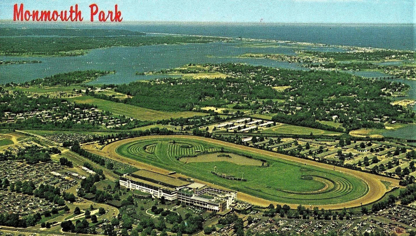
Monmouth Park Racetrack postcard, 1976. Click image to see MB in background.
Monmouth Beach-Long Branch borderline along the shore, 2021.
MB coast looking north from MBBP, 2021.
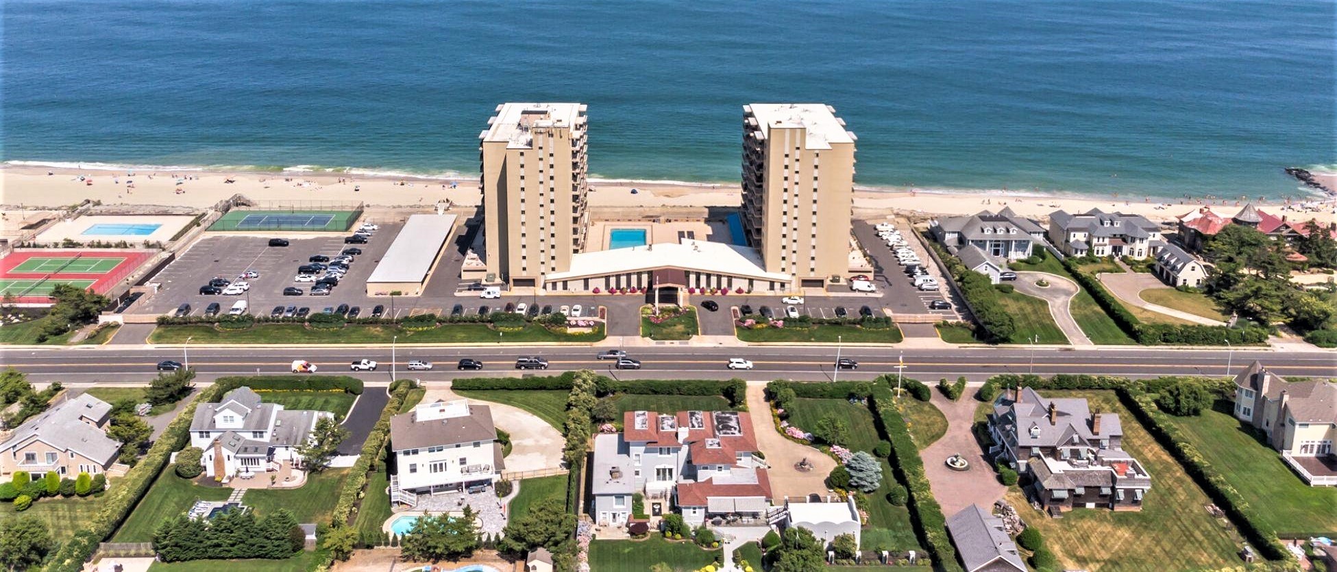
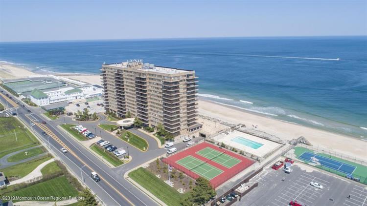
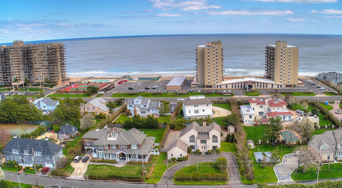
The Shores condominium high-rise on Ocean Avenue, 2019.
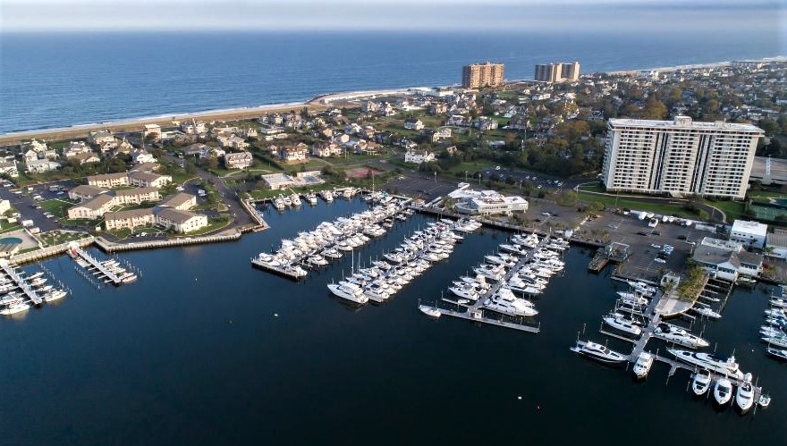
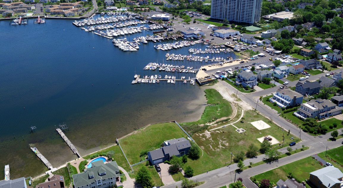
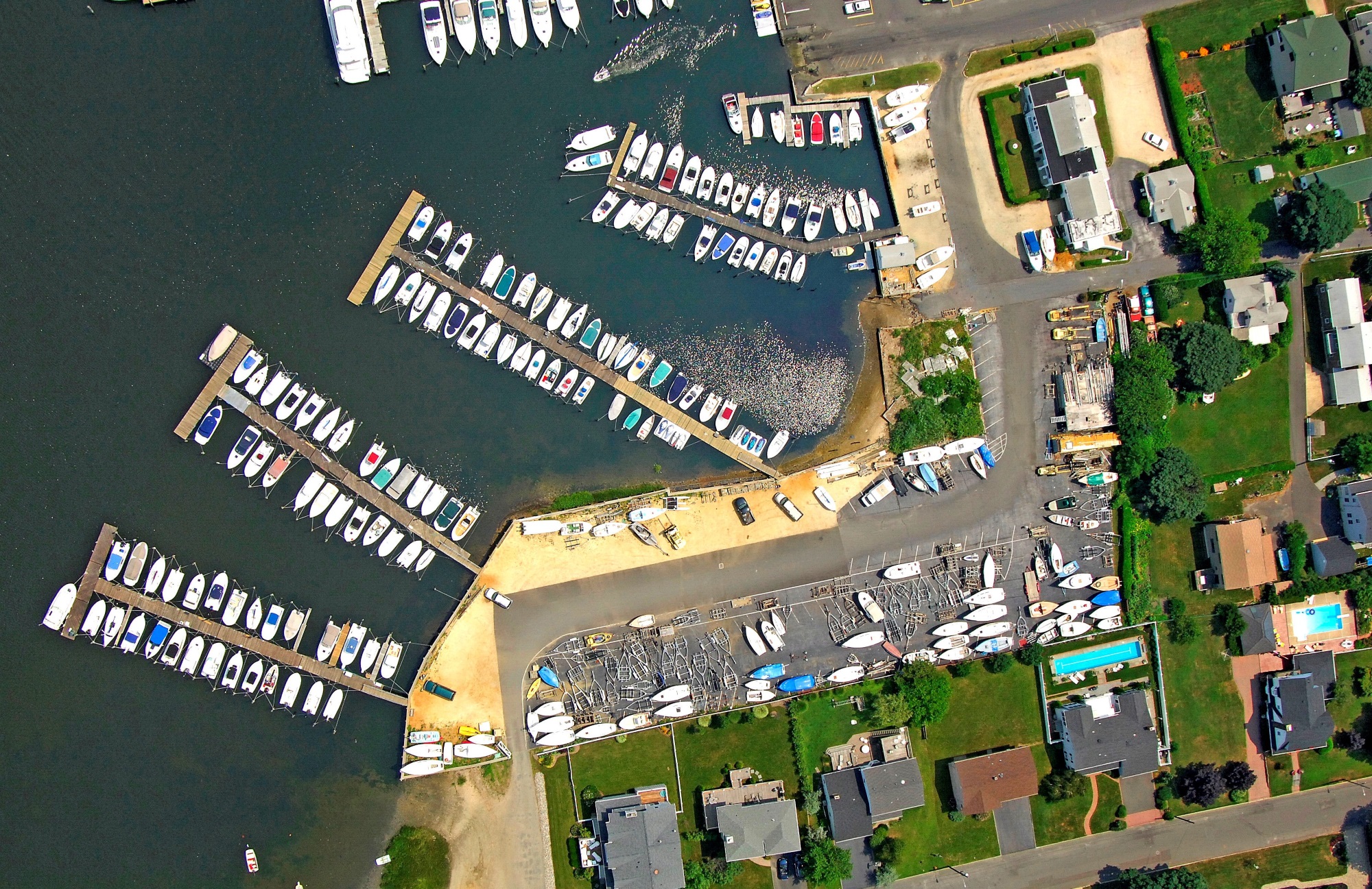
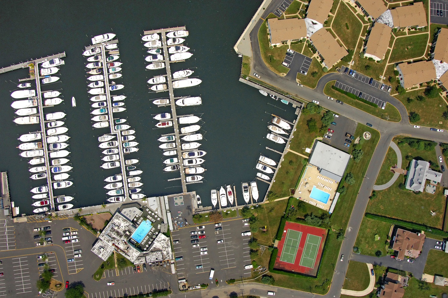
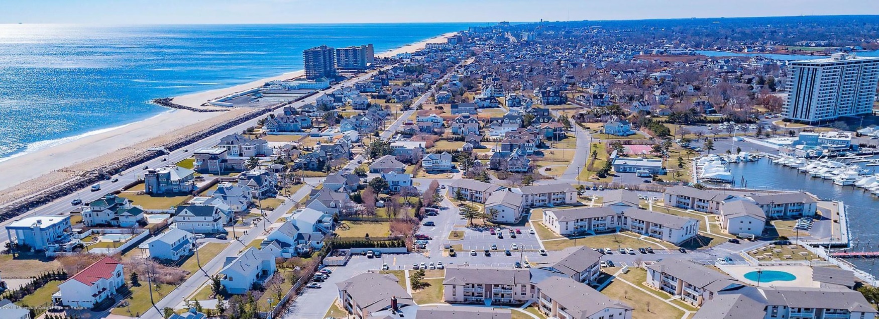
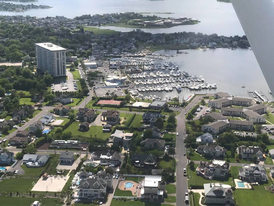
Monmouth Beach marina area, 2020.
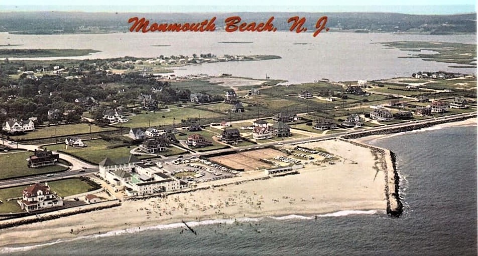
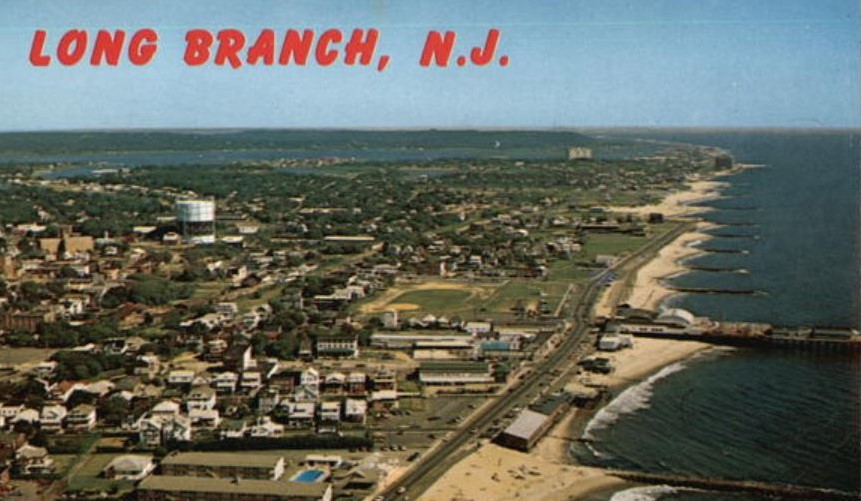
MB postcard, 1950s.
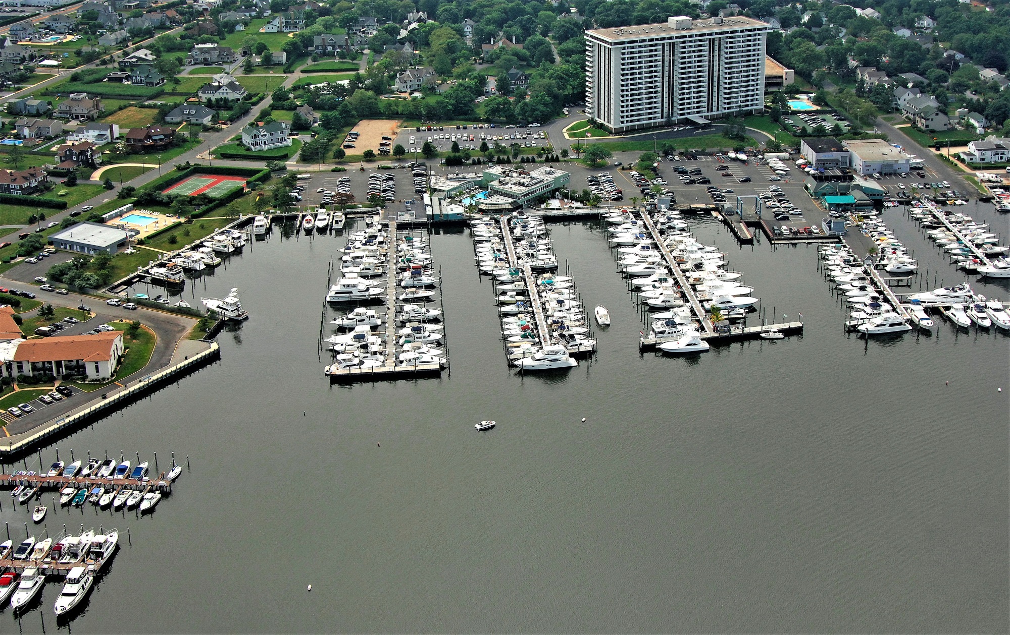
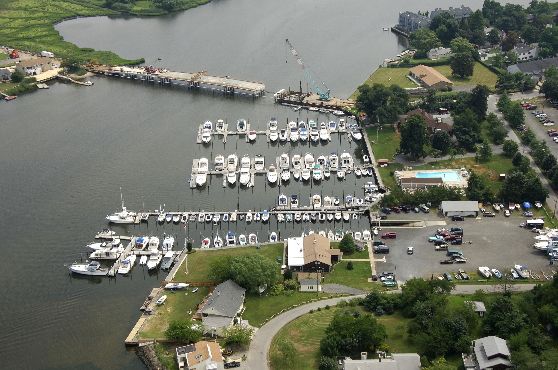
Monmouth Beach marina area, 2000s.
From the Monmouth Beach-Long Branch boarder looking north, 2021.
MB town center, 2019 (Frank Snead Photo).
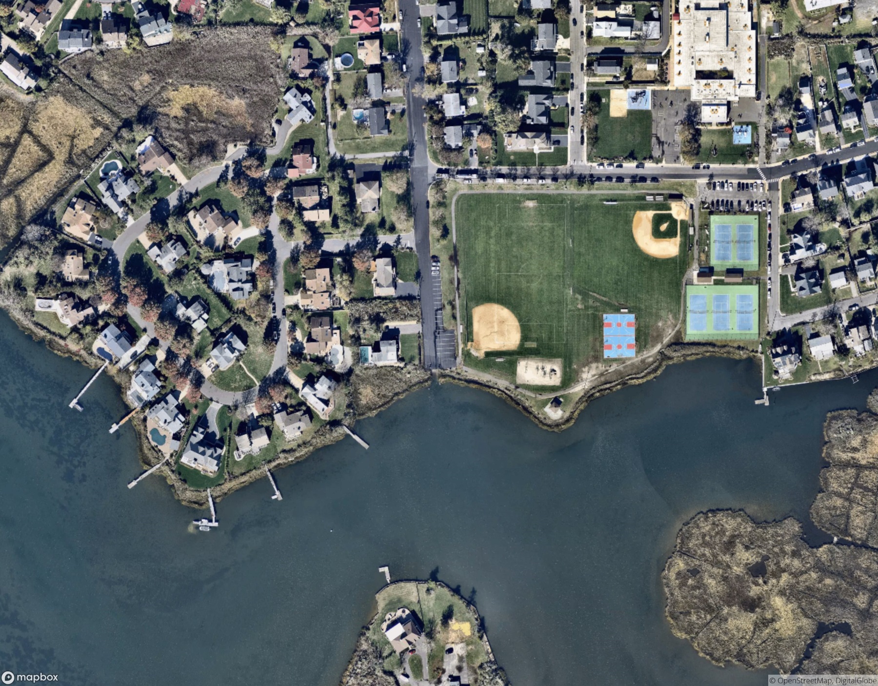
Racoon Island ball field, 2018 (Frank Snead Photo).

Griffin Park nearing dusk, 2018 (Frank Snead Photo).
All of the borough’s oceanfront high-rises are visible seen from Highland Avenue, 2021.

Highland Avenue, Winter 2021.

MB aerial image, 2013.

Looking up Beach Road, 2020 (Frank Snead Photo).
MB aerial image, 2017.
Griffin Park, 2017.
The tip of Monmouth Parkway, 2017.
Monmouth Beach aerial image, 2018 (Frank E. Snead Photo).
Monmouth Beac coast, 2000s.

Looking north to Monmouth Beach from Seven Presidents Park, 2020 (Breckenridge Visuals).
Monmouth Beach during power outage, August 2020.
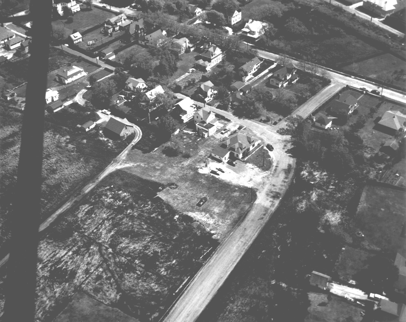
Monmouth Beach aerial image, 1940s.
MBBP area along Ocean Avennue, 2020.
Monmouth Beach coastline, 2020.

Monmouth Beach-Long Branch boarder at night, 2020.
MB aerial image, 2020.
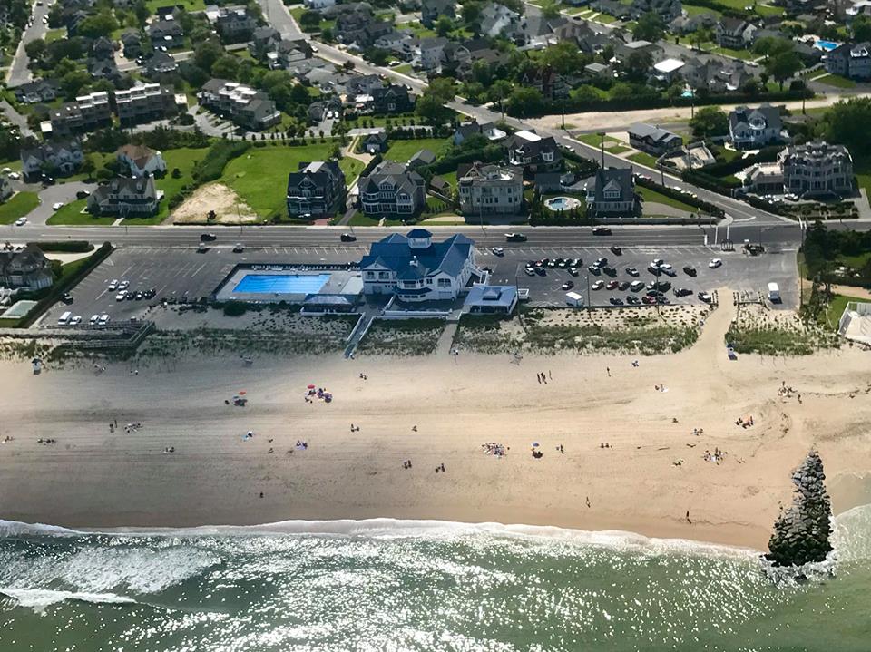
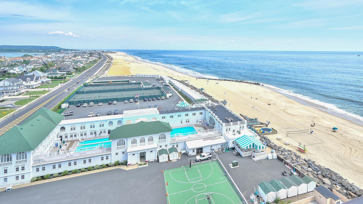
MBBP, 2020 (Frank Snead Photo).
View over Manhasset Creek, 2019 (Frank E. Snead Photo).

Looking into Monmouth Beach, 2020 (Frank E. Snead Photo).
MB aerial image, 2017 (Frank E. Snead Photo).
MB aerial image, 2017 (Frank E. Snead Photo).
MB aerial image, 2020.

MB aerial image, 2000s.
Griffin Park, 2018. (Frank E. Snead Photo)
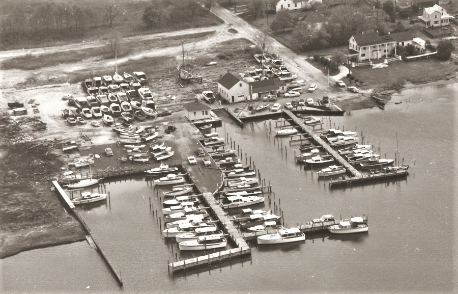
Henry Mihm’s boatyard, early, 1940s.
Patten Avenue bridge rebuild, 2005.
Aerial image of MB coast, 2018.
MB islands in the Shrewsbury River, 2019. The land is owned by Ocean Twp.
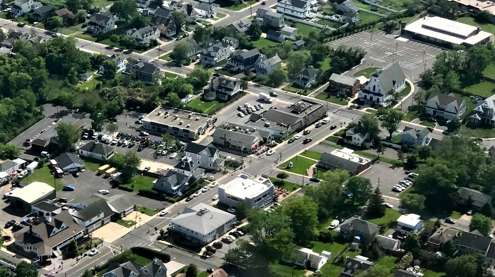
MB business district, 2017.
Shorelands area, 2017.
MB Club, 1940s.
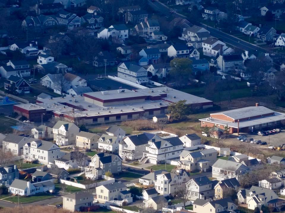
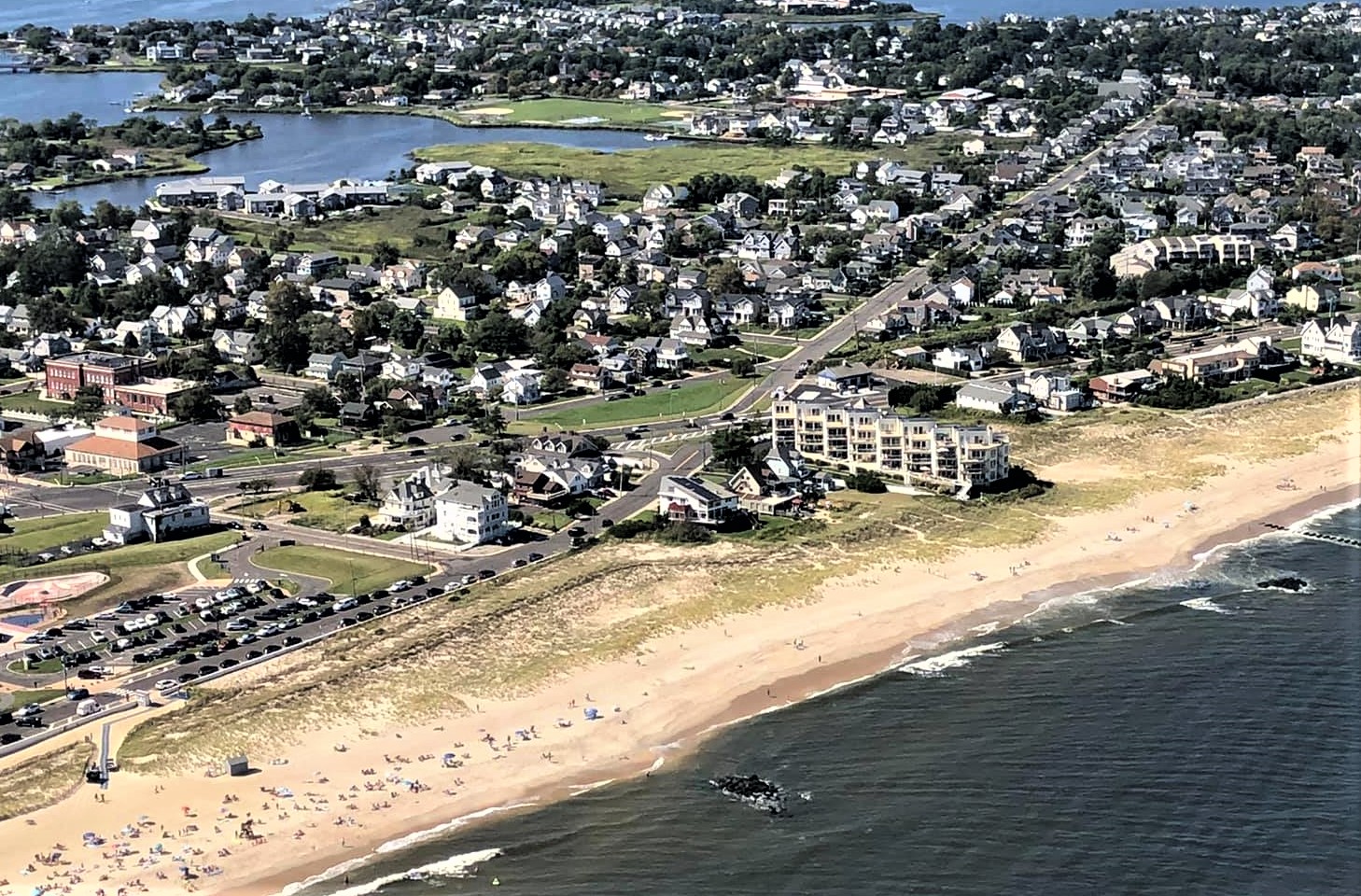
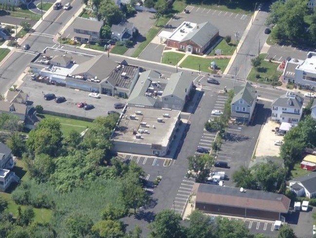
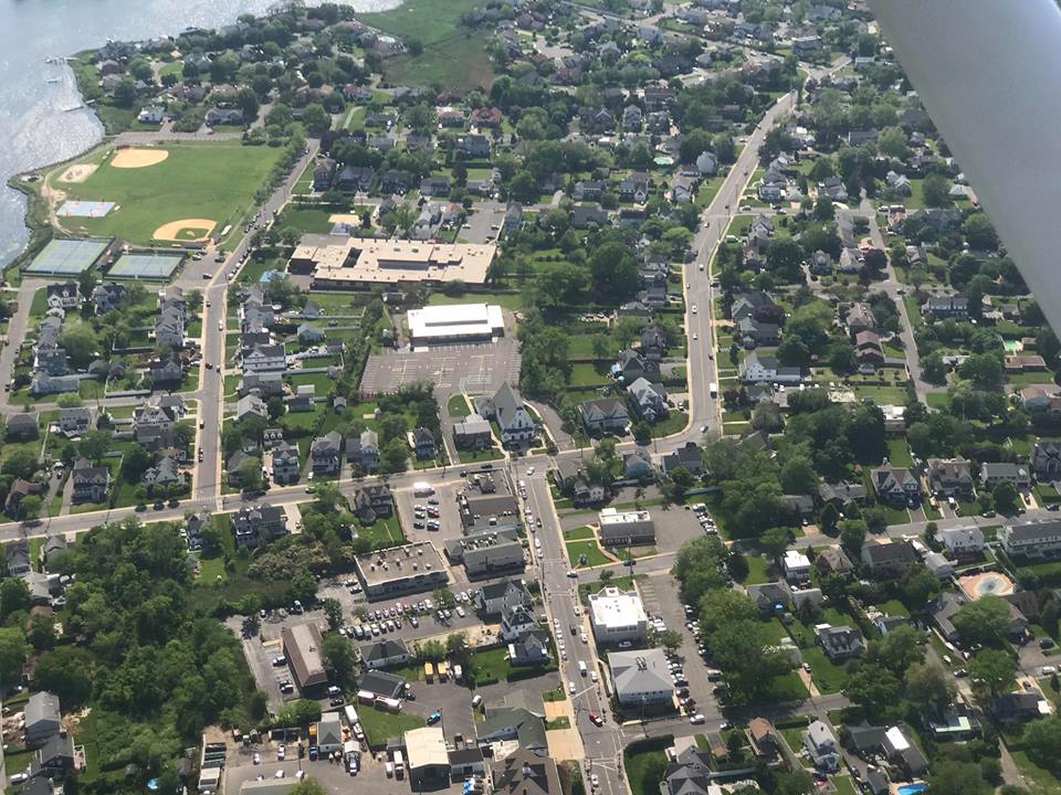
MB School neighborhood, 2017.
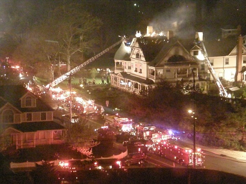
MB firefighters battle a blaze on Beach Road-Club Circle, early 2000s.
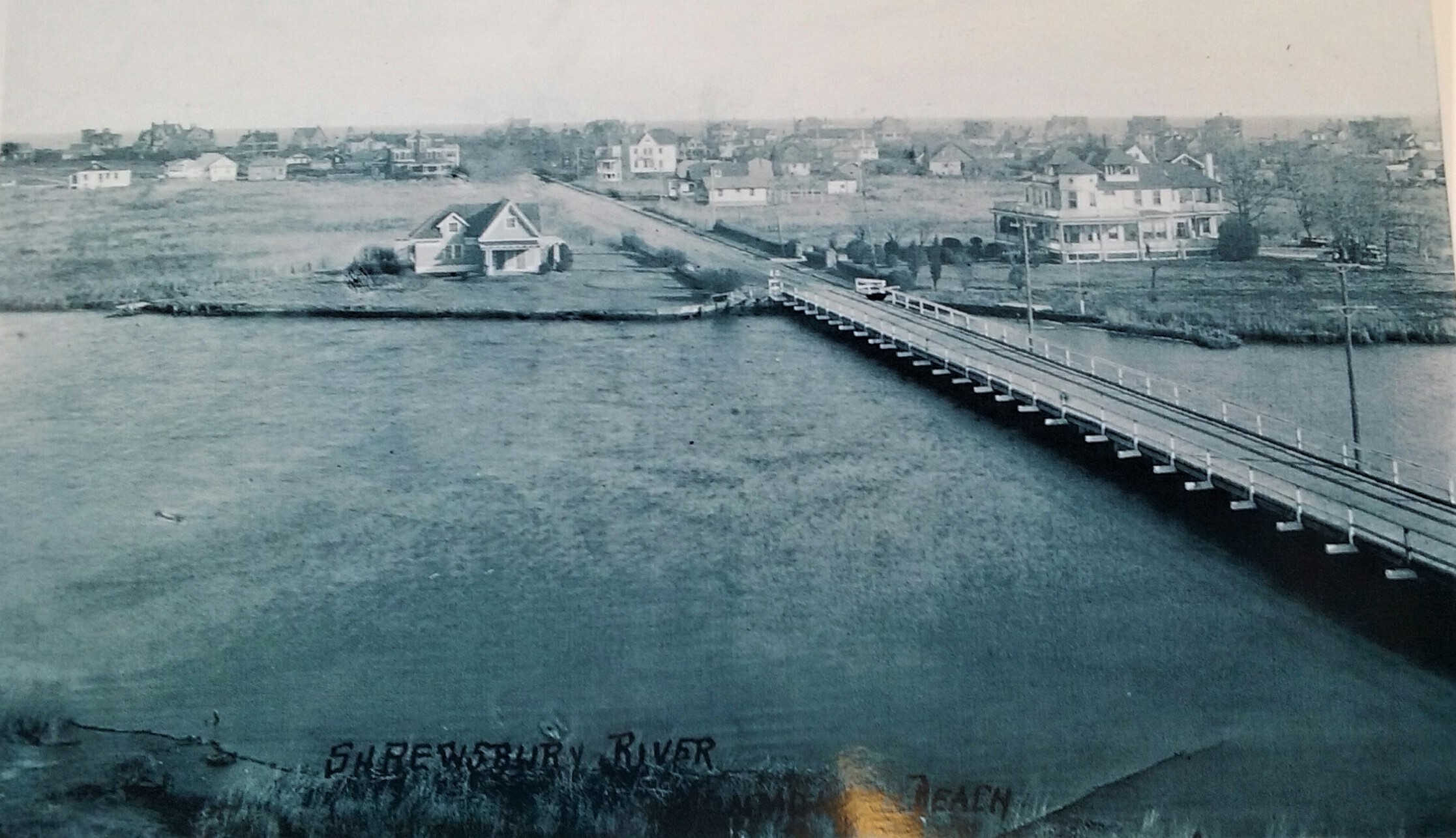
Valentine Street Bridge view into MB, 1927.
Sand replenishment at LB-MB border, 1995 (Jack Flaherty Photo).

MB is in there somewhere.
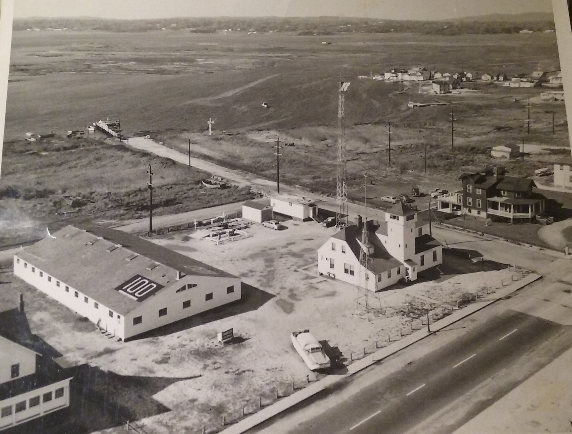
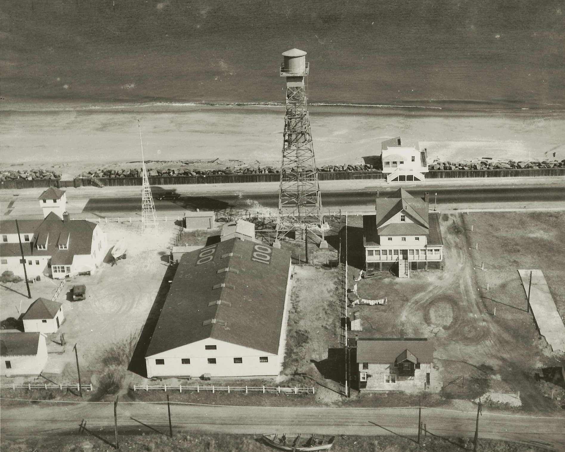
U.S. Coast Guard Station, 1940s.

MBBP aerial image, July 4, 2019.
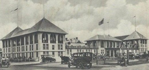
View from MB Clubhouse Hotel looking west, 1920s.
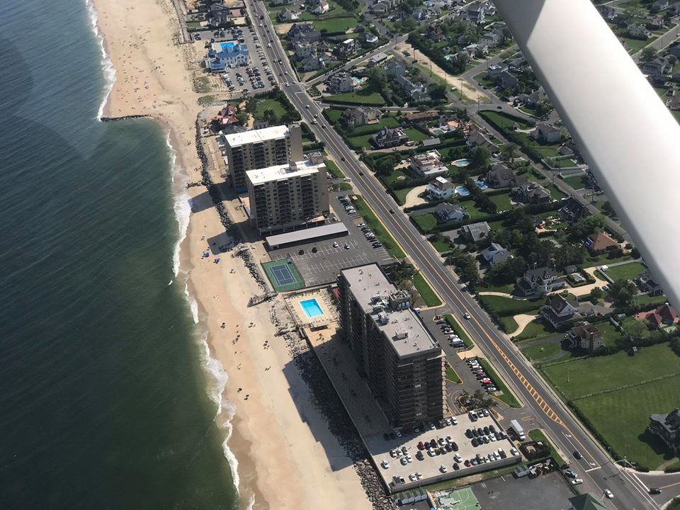
MB coastal high rises, 2018.
Shorelands Park area, late 1990s.
Atlantis Yacht Club marina area, early 2000s.

Monmouth Beach marina area, 1990s.
Monmouth Beach coast, 2017.
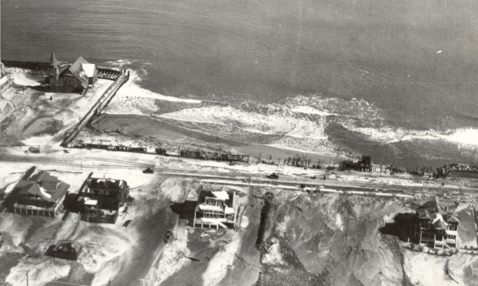
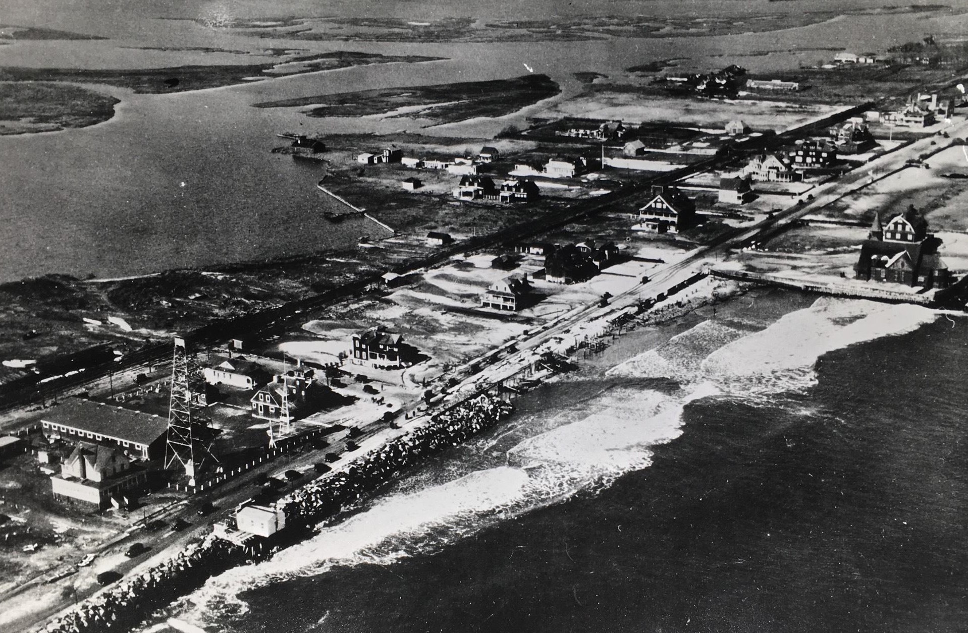
Storm damage along northern Ocean Avenue area, 1927.
Monmouth Beach, late 1990s.
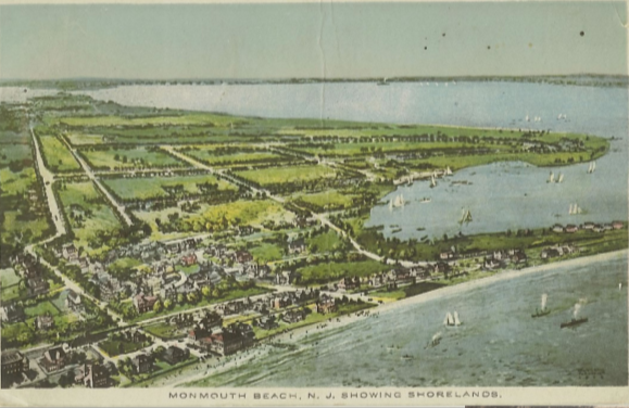
Monmouth Beach postcard.
Monmouth Beach coast, 1930s.
Shorelands marina, 2017.
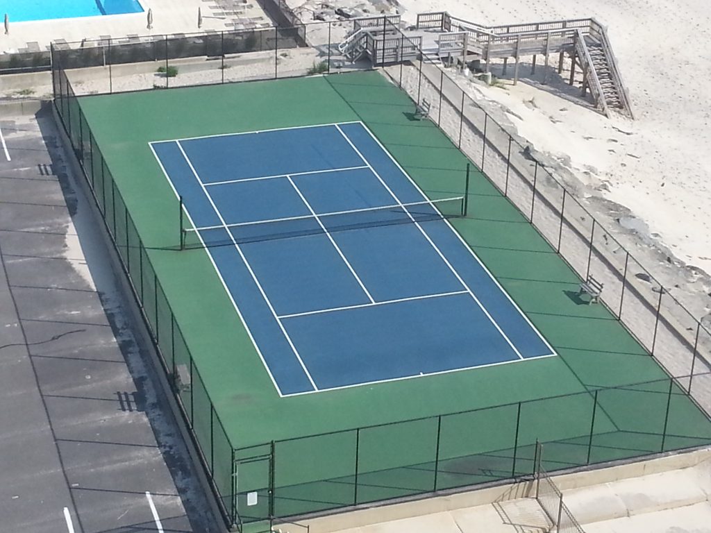
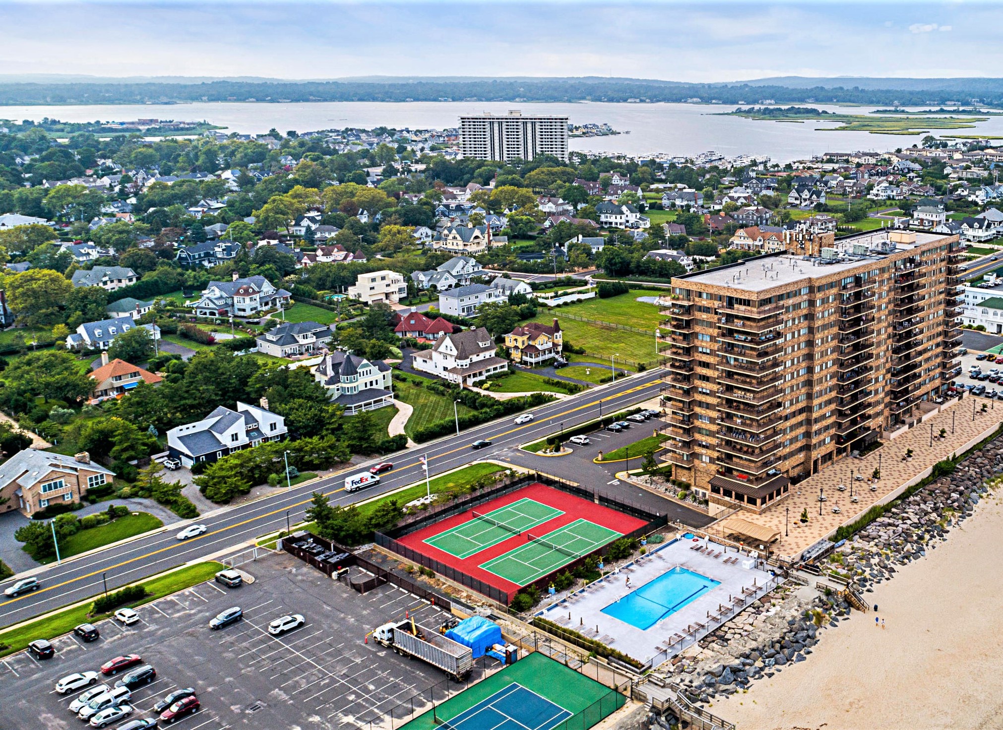
Shores condo tennis court, 2018.

Monmouth Beach coastline, 2018.
MB coast looking south, 2019.
Patten Avenue Bridge connects MB and LB, 2019.
MB aerial image, 2020 (Andy Schulz Photo).

MB aerial image, 2020 (Andy Schulz Photo).
MB aerial image, 2020 (Andy Schulz Photo).

MB marina area, 2000s.
Monmouth Beach looking east, 2017.

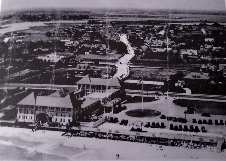
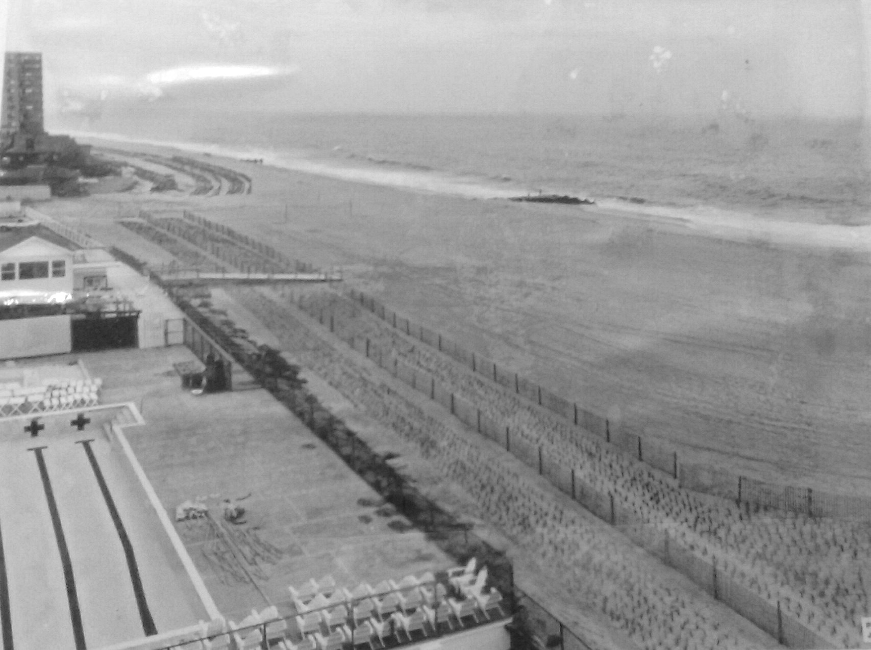
MB Bathing Pavilion, 2017.
Monmouth Beach coast, 2017.
Monmouth Beach Club, 2017.
Monmouth Sailing Center, 2017.
Monmouth Beach coast, 2017.
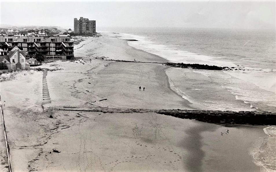
MB Bathing Pavilion after Hurricane Sandy, 2013.
Patten Point, Long Branch (foreground); Monmouth Beach (background), 2018.
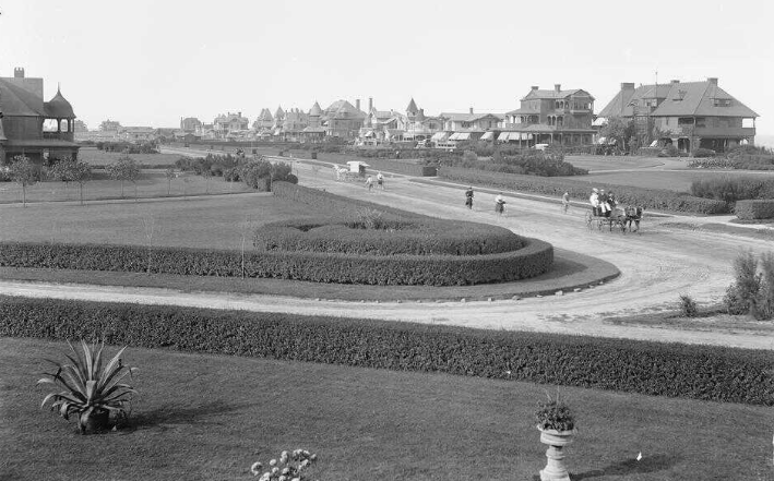
Valentine Street and Ocean Avenue, 1905. (Rutgers U. photo)

MB Bathing Pavilion, 1977.
MB marina area, 2010s.

MB aerial image, 2019.
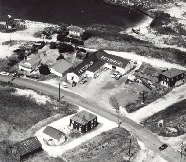
Marketing photo of Peterson’s Enterprises facility in Galilee, 1960s.

Monmouth Beach along Ocean Avenue, 1940s.

Monmouth Beach coast, 1940s.
Racoon Island, 2019.
MB coast from a plane, 2019.
Breakwater Cove condos, 2019.
Sands Point South condos in MB (built in 1975), 2019.
MB coast, 2019.
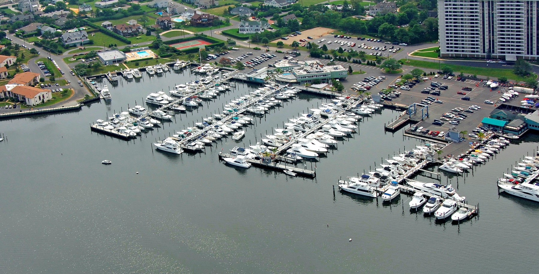
Channel Club marina, 2010s.
Monmouth Sailing Center, 1970s.
MB image taken from Channel Club Tower, 1973.
Shorelands area post Hurricane Sandy, 2012.
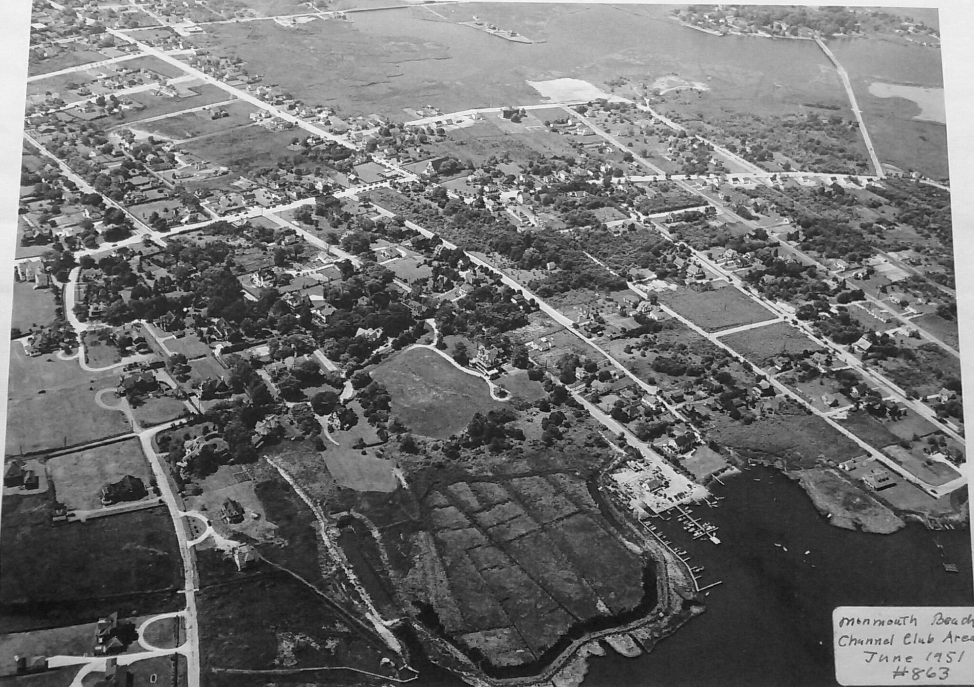
Monmouth Beach, 1951.
MB coast, 2017.

MB Club looking north, 2001.
Monmouth Beach coast, 2016.
Monmouth Beach coast, 1930s.
Beach Road-Ocean Avenue in Monmouth Beach, early 2000s.
Galilee area looking north, 1927.
U.S. Coast Guard Station, 1950s.
MB aerial image looking south, 2019.
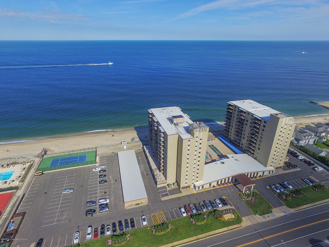
The Admiralty aerial image, 2019.
The Shores condo aerial image, 2010s.

Channel Club Marina aerial image, 2000s.
Monmouth Sailing Center aerial image, 2019.
MB aerial image, 2019.

Sand replenishment start at MBBP, 1995 (Jack Flaherty Photo).
Sand replenishment in MB looking south, 1995 (Jack Flaherty Photo).
Sand replenishment in MB looking north, 1995 (Jack Flaherty Photo).
Sand replenishment in MB looking south, 1995 (Jack Flaherty Photo).

Sand replenishment in MB looking south, 1995 (Jack Flaherty Photo).

MBBP aerial image, 2000s (Jack Flaherty Photo).
Sand replenishment at LB-MB border, 1995 (Jack Flaherty Photo).

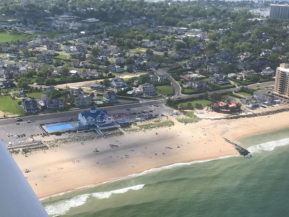
MBBP aerial image, 2019. (Frank E. Snead Photo)
NYC skyline seen from Chanel Club Tower, 2018.
MB aerial image, 1930s.
Long Branch postcard looking north to MB, 1970s.
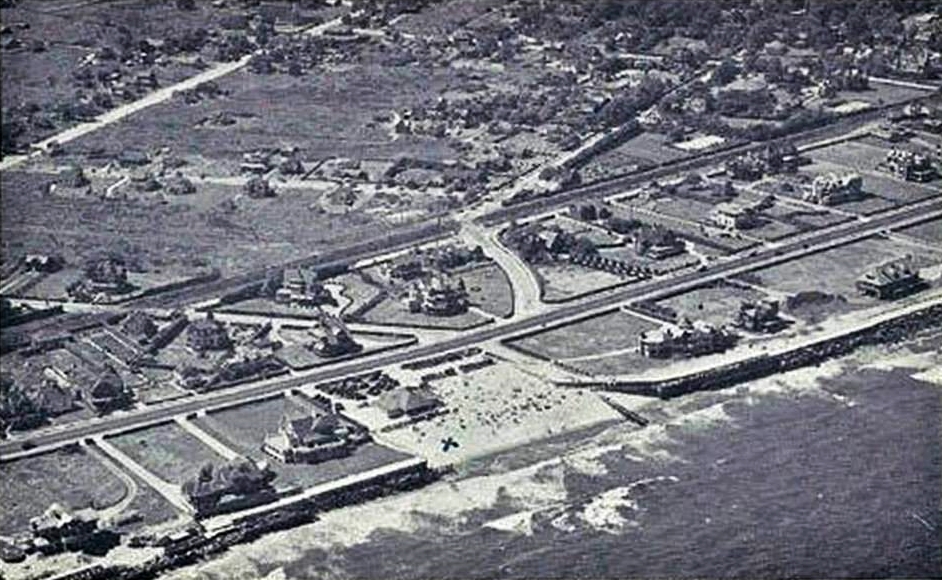
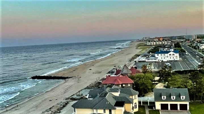
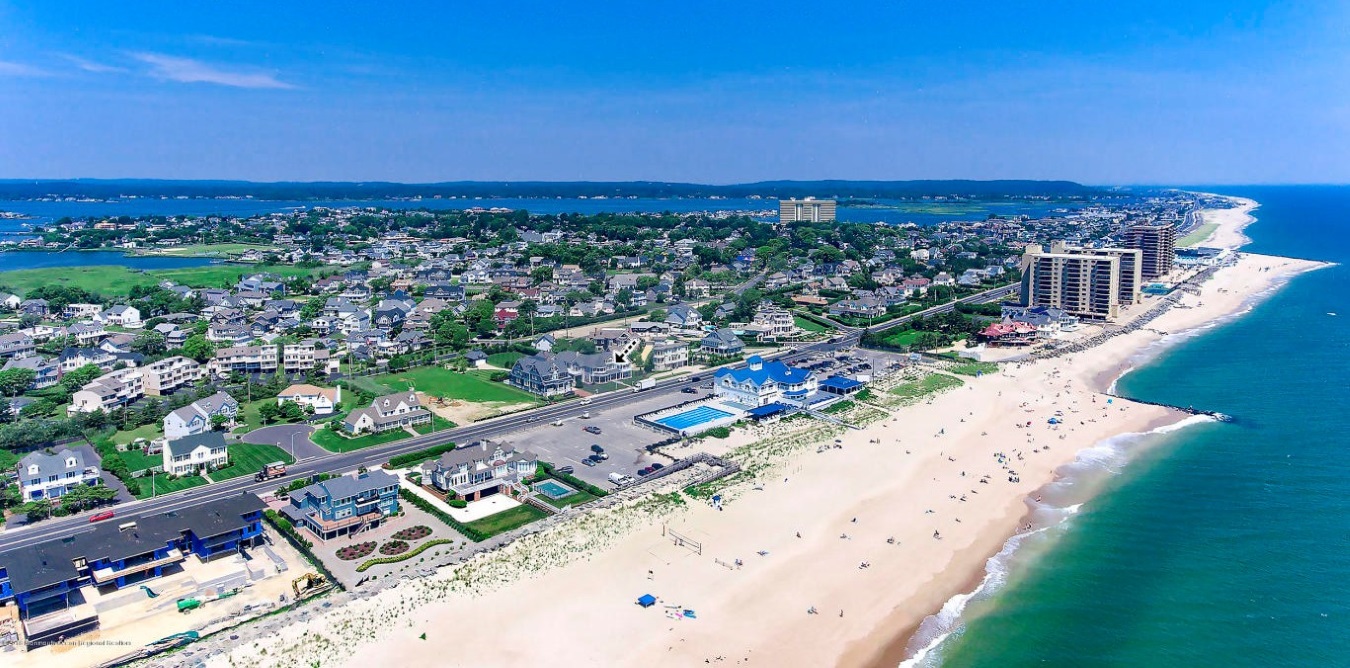
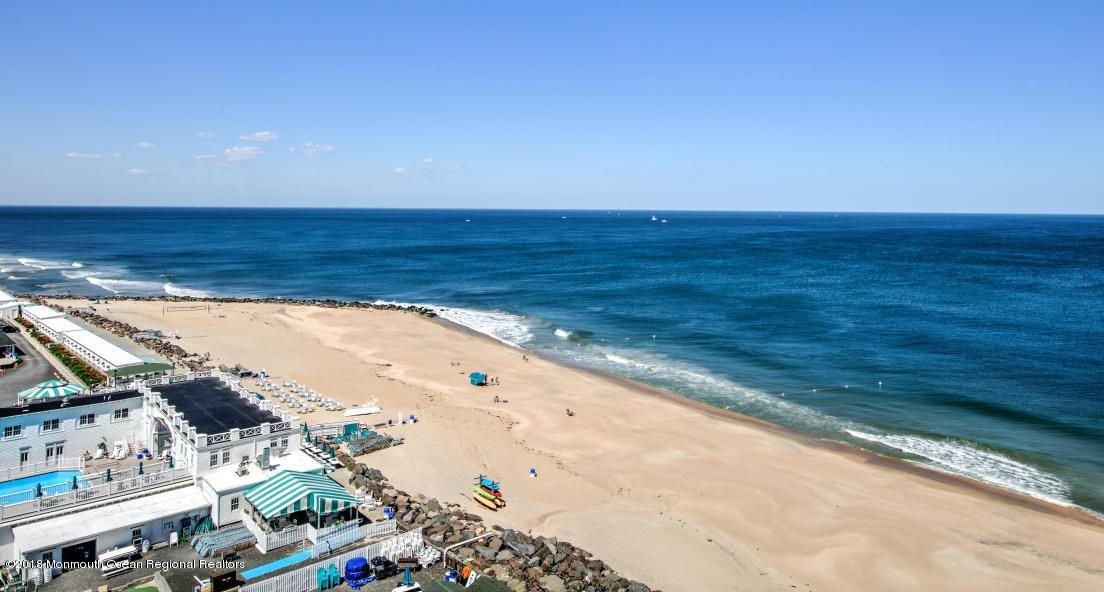
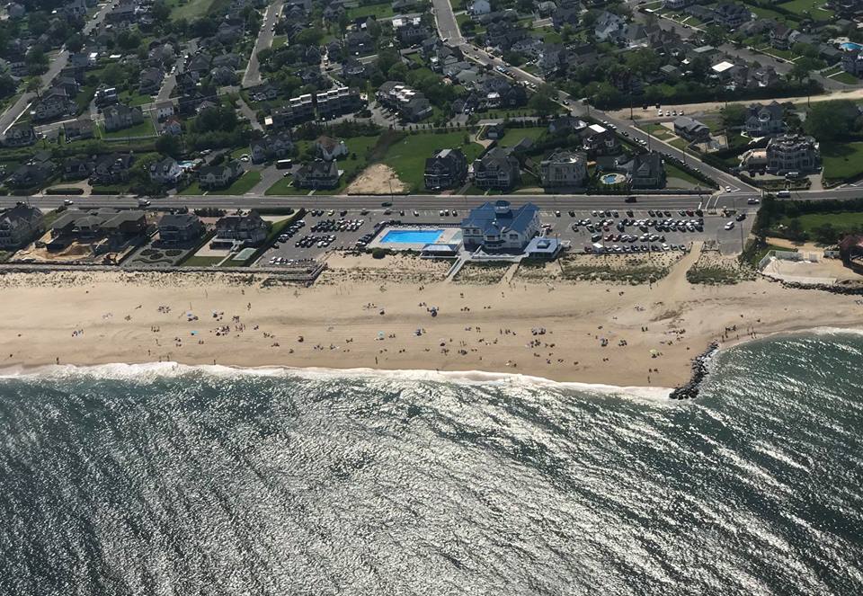
The MB “X Spot” aerial image, 2018.
Aerial image of MB coast, 2018.
Aerial image of MB, 2017.

Aerial image of MB, 2017.
Aerial image of MB, 2018.
Aerial image of MB, 2018.
Aerial image over Griffin Park, 2018.
Shorelands point on Shrewsbury River, 2018

Aerial image of MB, 1920.
Aerial image over Shrewsbury River, 2018.
Aerial image of MB coast, 2018.
Aerial image at Monmouth Beach-Long Branch border, 2018.
Aerial image of MB coast, 2018.
Aerial image of Sea Bright-Monmouth Beach looking south, 2018.
Aerial image of MB coast looking south, 2018.
Aerial image of MB coast looking south, 2018.
Aerial image of MB coast, 2018.
MB aerial image of Ocean Ave looking south, 2018.
View from Channel Club Tower looking northeast, 1970s.

MB marina area, 2108.
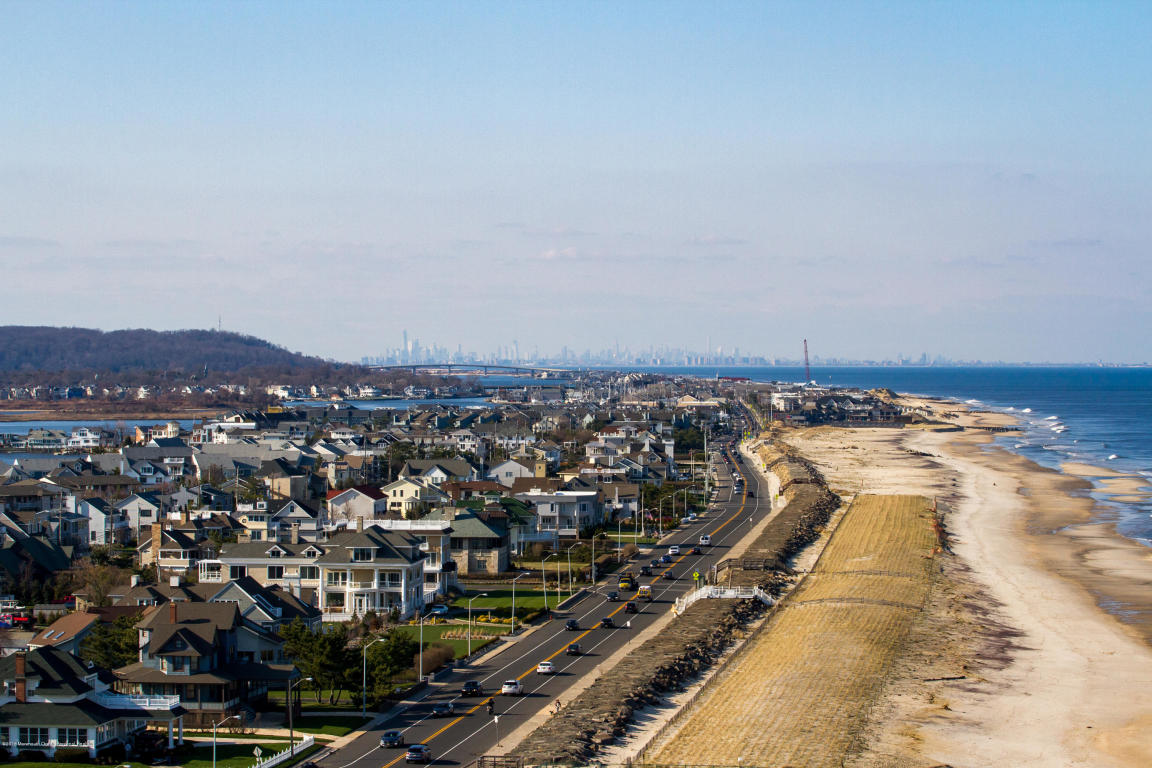
Aerial image from MB coast looking north to NYC skyline, 2018.
Ocean Avenue-Beach Road intersection, 2017.
MB Galilee aerial image, 2010s.

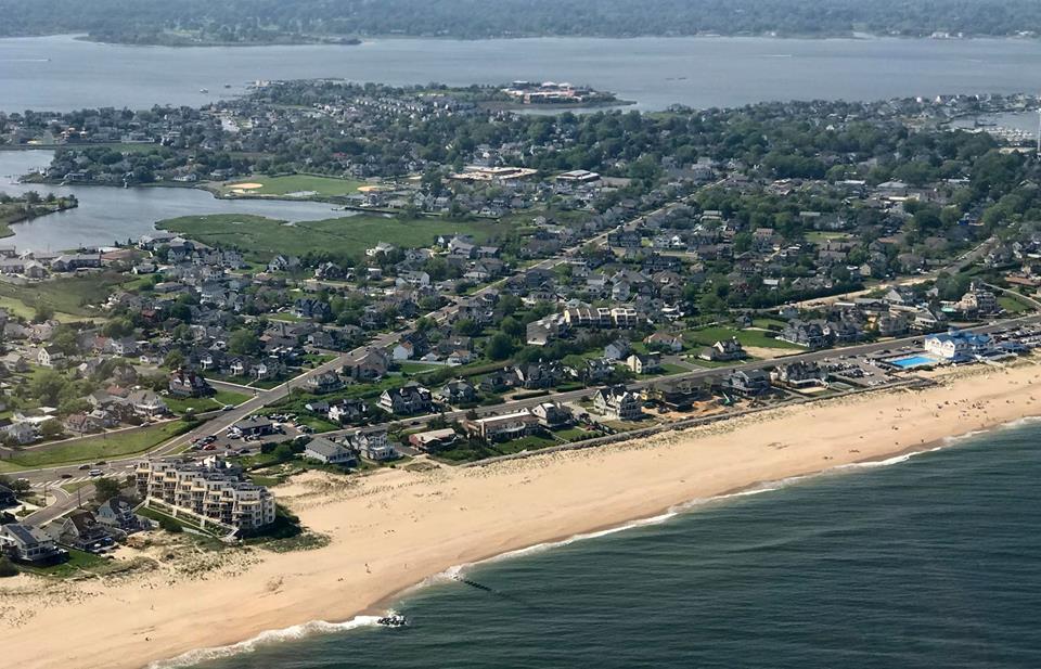
MB coast, 2010s.
Patten Avenue bridge under construction, 2005.
MB aerial image, 2018.

The Admiralty on Ocean Ave., 2018.
MB aerial image, 2017.
MBBP aerial image, 2018.
MB aerial image, 2018.
Monmouth Beach area from 35,000 feet, 2018.
MB aerial image, 1940s.
MB aerial image, 1940s.
MB aerial image along Ocean Avenue, 1950s. (Al Lark Collection)
MB aerial image along Ocean Avenue, 1950s. (Al Lark Collection)
MB aerial image, 2018 (Frank E. Snead Photo)
MB aerial image, 2018 (Frank E. Snead Photo)
MB aerial image, 2018 (Frank E. Snead Photo)
MB aerial image, 2018 (Frank E. Snead Photo)
MB aerial image, 2018 (Frank E. Snead Photo)
MB aerial image, 2018 (Frank E. Snead Photo)
MB aerial image, 2018 (Frank E. Snead Photo).
MB coast aerial image, 2000s.
Monmouth Beach Club, 1920s.
Ocean Avenue highrises, 2018.
Beach Road-Ocean Avenue intersection, 2018.
View near Monmouth Beach-Long Branch boarder, 2017.
Monmouth Beach looking north, 2017.
Monmouth Beach (Riverdale Avenue), 2017.
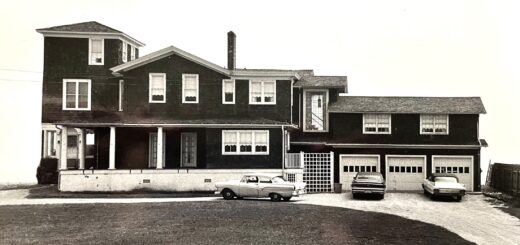
Boyle’s Tavern area, 1958.
Monmouth Sailing Center on West Street, 1970s.
Monmouth Beach shore, 1920s.
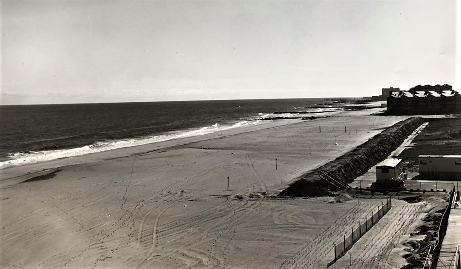
MBBP “postage stamp” beach before 1994 sand replenishment.
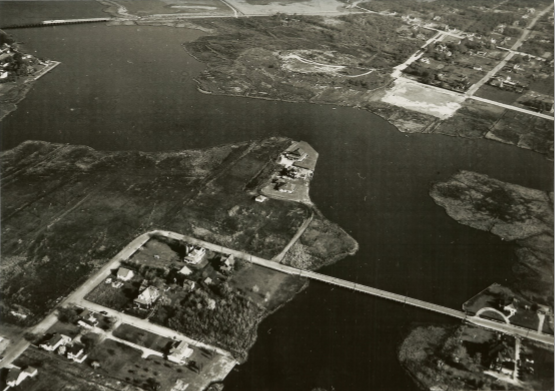
Manahasset Creek, 1951. (Note the two bridges).
Monmouth Beach looking east, 2017.

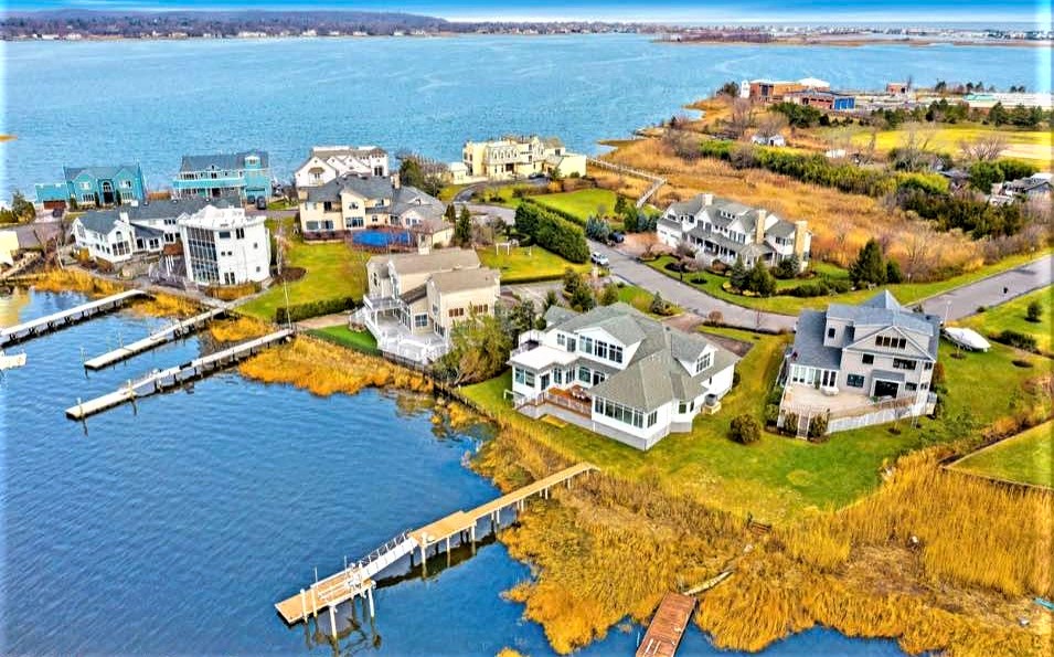
Shrewsbury Harbor Estates area of MB, 2017.
MB Club looking north, 2017.
Monmouth Beach center of town, 2018 (Frank E. Snead Photo)
Monmouth Beach coast, 2018. (Frank E. Snead Photo)
Monmouth Beach coast, 2018. (Frank E. Snead Photo)
Channel Club marina, 2000s.

Monmouth Beach coast, 2010s.
Monmouth Beach, 1940s.
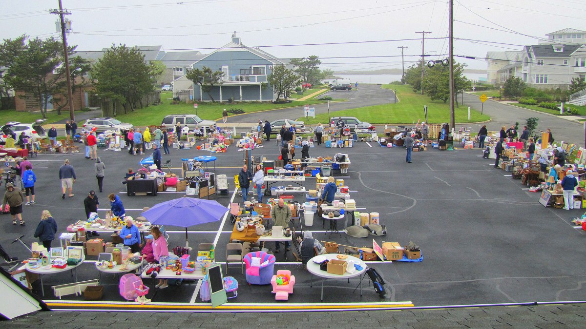
Monmouth Beach Cultural Center yard sale, 2010s.
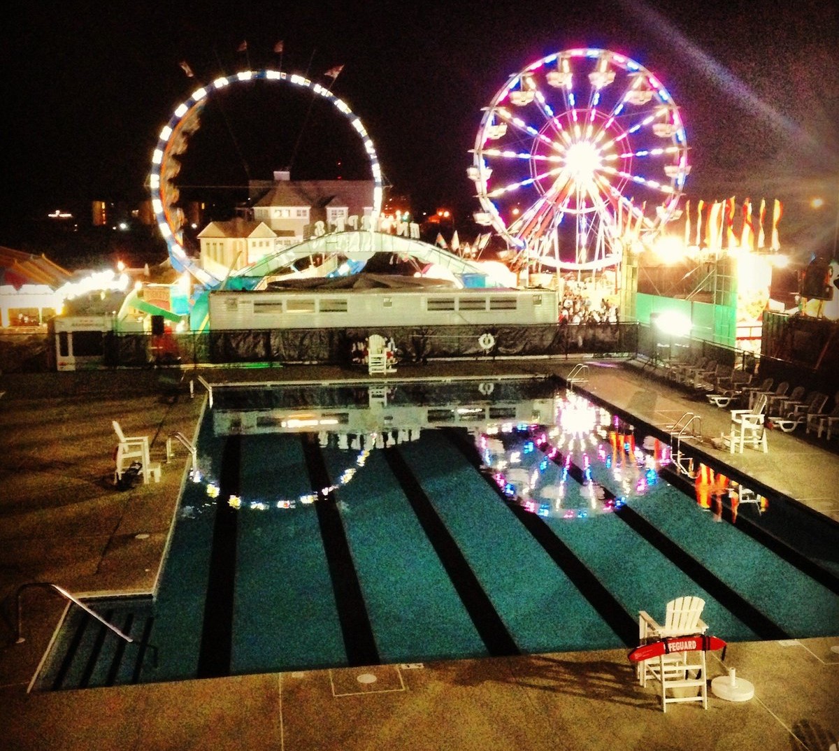
Monmouth Beach Firemen’s Fair held at the MBBP, 2010s.

Near the Monmouth Beach-Sea Bright border, 1908.
Shrewsbury River in Monmouth Beach, 2017.
Monmouth Beach Club, 1930s.

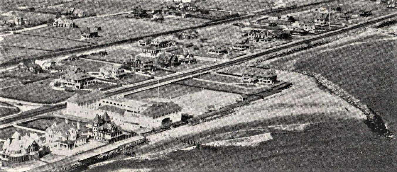
Looking east toward the Monmouth Beach Club, late 1910s.
Monmouth Beach coast, 1980s.
Monmouth Sailing Center on West Street, 1970s.
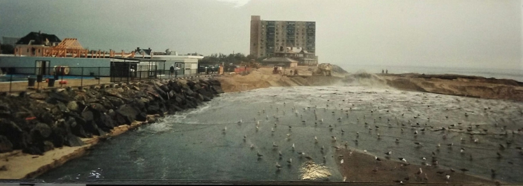
MBBP during sand replenishment project, 1990s.
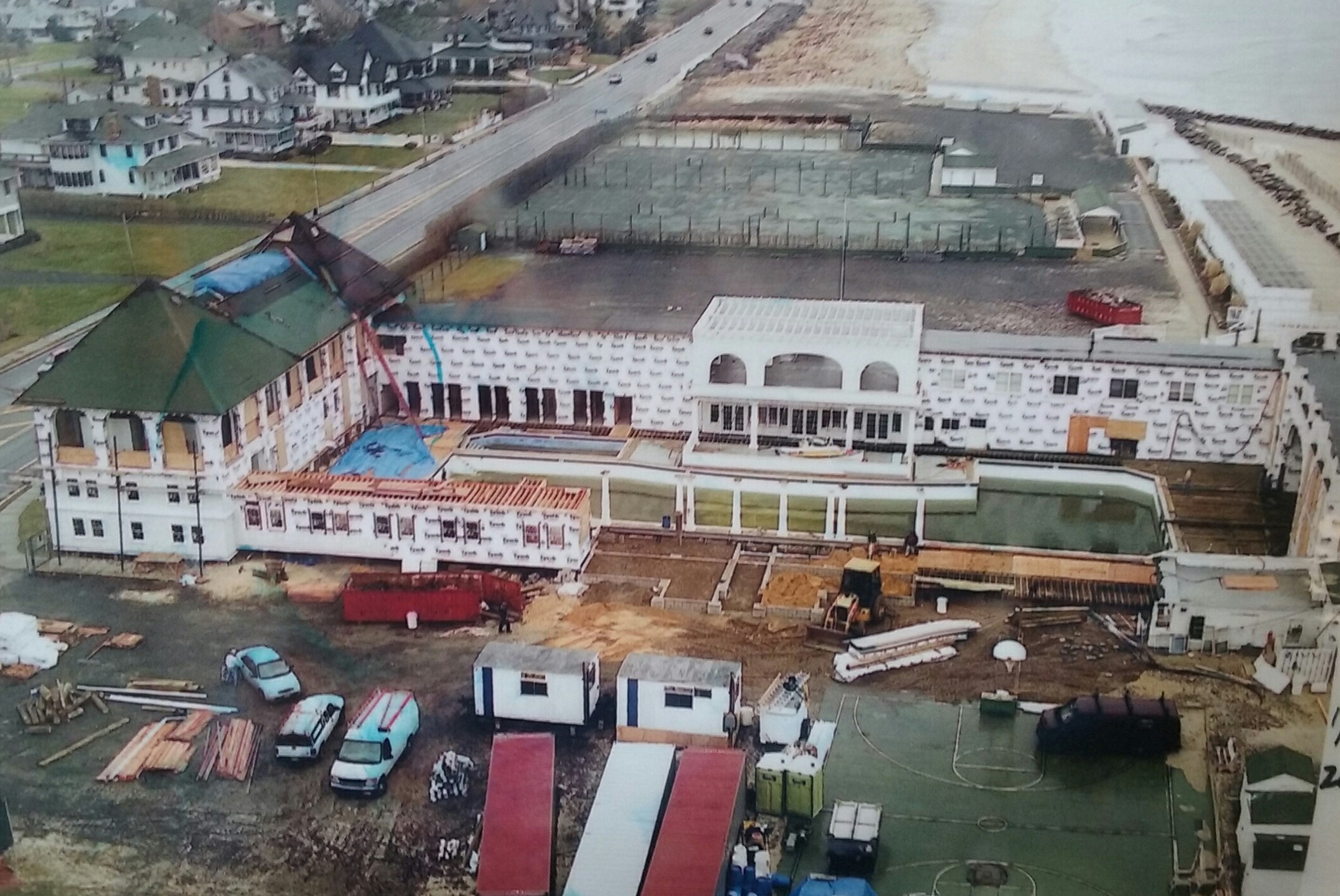
Monmouth Beach Club under renovation, 2006.
Newly replenished beach with planted dune grass, 1995.

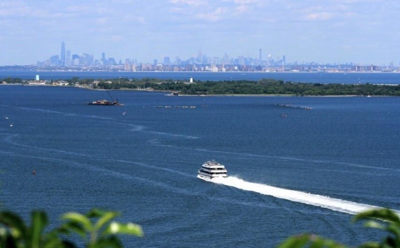
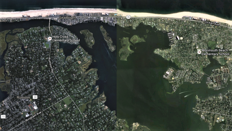
Sandy Hook and the NJ Bayshore.

Monmouth Beach Club under renovation, 2006.
Ocean Avenue-Beach Road intersection, 1970s.

Ocean Avenue looking north, 1938.
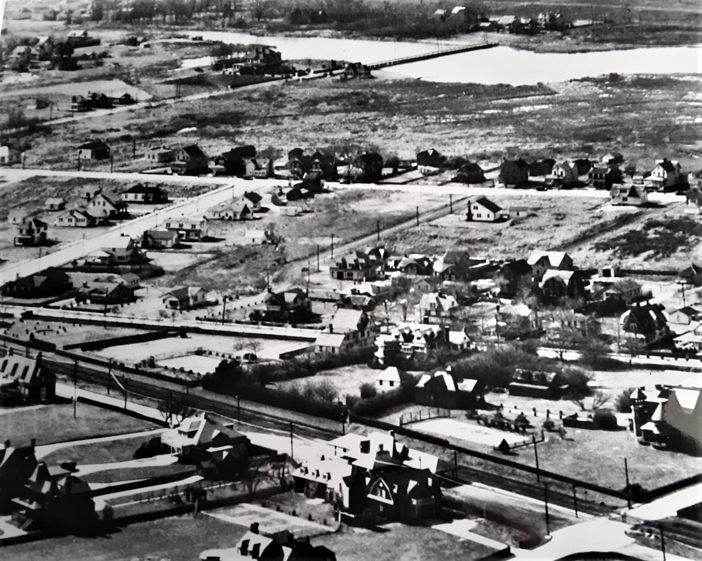
River View — Corner or North Road and Shrewsbury Drive in Shorelands, 2006.