High Living in Monmouth Beach
“The Shores” and “The Admiralty” — Oceanfront High-Rises Rule the Coast
Seeking to increase town tax ratables — then badly needed to fund a new school — the Monmouth Beach board of commissioners passed an ordinance in 1970 permitting the construction of high-rise dwellings in town. The locations approved for condominium construction were along Ocean Avenue and off West Street and soon-to-be Channel Drive.
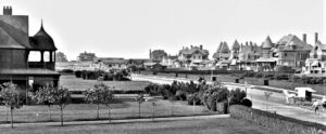
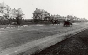
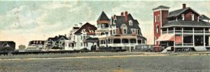
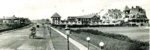
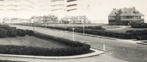
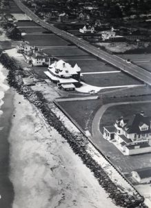
The land on the eastside of Ocean Avenue — between today’s two beach clubs (one private, one public) — is perhaps the most prime piece of borough real estate. Starting around 1870, a group of East Coast worthy folks came to town seeking “exclusiveness” and preceded to build the most massive seashore mansions. It was there — where the modern towers now rest — that the architectural grandiosity probably started. More on Monmouth Beach “Wooden Palaces” — HERE.
Ultimately, three high-rise complexes with 500+ units were built in town — known as The Channel Club Tower, The Shores and The Admiralty. The “condominium boom” in Monmouth Beach was short lived, though; by 1972 the commissioners had reversed course and passed a moratorium on high-rise construction.
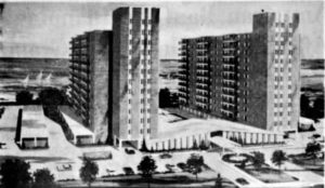
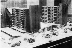
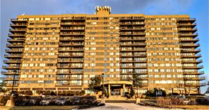
The Shores — twin-tower, 12-story buildings (both with 66 units) — opened in September 1975. Construction cost was $8 million and Avenel Boulevard, Inc. of Long Branch was the developer. Frederick Norman Fisher of Parlin, NJ was the architect. Back then one-bedroom units were $48,000; a two-bedroom was $72,000.
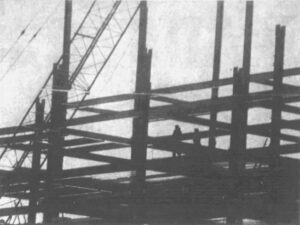
The Admiralty — a 14-story, 162-unit high-rise condo — endured a decade of construction delays (when unfinished it was called “the Skeleton”). Finally opened in 1982, it cost $24 million to develop by Cofas Associates Corp. Back then, a penthouse was $270,000 and a two-bedroom apartment was $126,000. Monthly maintenance fees started at $175. It was perhaps the last Jersey Shore high-rise condo to escape odious state CAFRA construction regs set in 1973. It started out as the “Seacoast Towers.”
Opened in 1973, the Channel Club Tower, an 18-story, 222-unit high-rise near the Shrewsbury River banks, is the granddaddy of them all; with its own photo section — HERE.
Today, about 40% of the Monmouth Beach population lives in multiple-family units (or condos). In addition to the three big tower complexes, others include the Wharfside Manor, Monmouth Commons, Breakwater Cove, and Sands Point North and South.
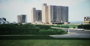
The images below are devoted to the town’s Ocean Avenue high-rises: “The Shores” and “The Admiralty:”

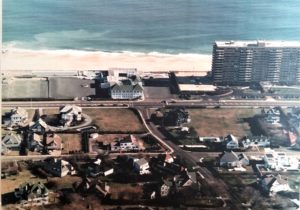
Ocean Avenue looking north from Valentine Street, 1902. All of the “cottages” on the eastside of the road are gone. Replaced by two oceanfront high-rise condos.
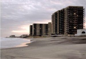
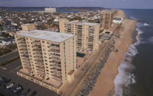
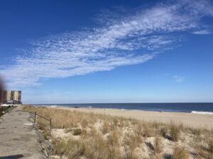
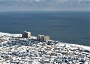
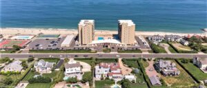
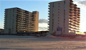
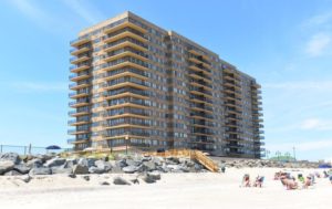
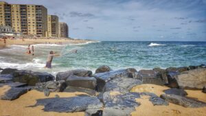
Side-by-side along the Monmouth Beach shoreline — “The Admiralty” and “The Shores” high-rise condominiums, 2016.
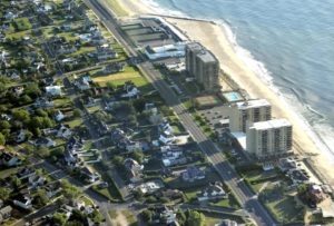
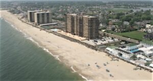
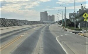
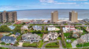
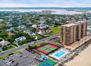
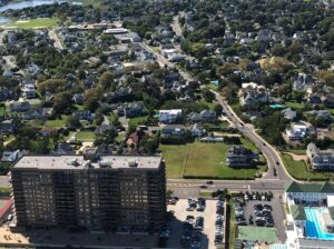
Monmouth Beach coastal high rises, 2018. About 500 yards of extraordinary territory resting between Beach Road and Surf Road.
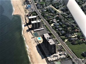
Monmouth Beach coastal high rises, 2018. (Frank E. Snead Photo) The MB Club is just south although unseen.
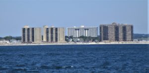
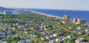
“Tower Power” in Monmouth Beach — An odd photo angle shows all three borough high-rise condos together, 2016.

All the Towers — Monmouth Beach visable from Rumson, Summer 2023 (O’Brien Realty Photo).
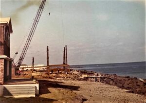
Get Going — High-rise condo construction along the oceanfront, early 1970s. It’s probably The Shores, which broke ground in September 1973. The MB Club is in the background (Louis Tsakiris Photo).
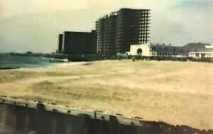
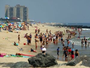
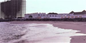
MB Club beach, 1974. The infamous “skeleton” is to the south. Later to be The Admiralty high rise when finished in 1982.
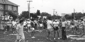
School & Skeleton — The unfinished oceanfront high-rise is visible in the background during the borough’s American Bicentennial celebration in Griffin Park, July 1976.
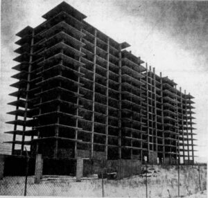
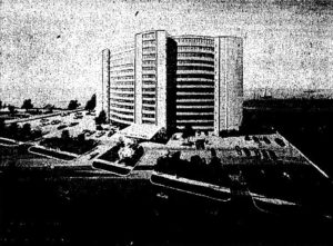
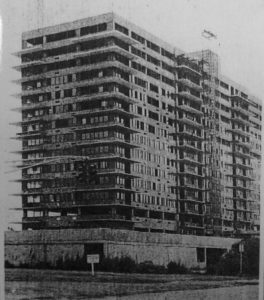
“Skeleton Shame” — The building project was abandoned in 1973, Red Bank Register, August 1980. Initial developer- owners (Business Investment Group Realty Trust of Valley Forge, Pa.) had defaulted on a $5.3 million mortgage in 1976. FMC Associates of NYC would complete the deal.
The Shores
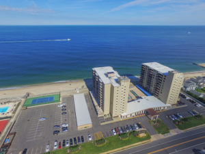
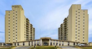
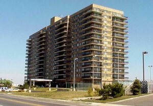
The Shores, 2010s. The sales pitch: “A location at the apex of perfection — for those who demand it.”
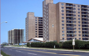
The Shores condo next door to the infamous “Skeleton” — an uncompleted high-rise condo, late 1970s. It finally was finished in 1982 and opened as The Admiralty. It started out as the Seacoast Towers.
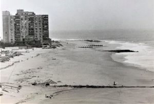
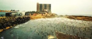
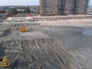
The multi-million dollar federal sand replenishment project started at MBBP, 1995 (Jack Flaherty Photo).
The Admiralty
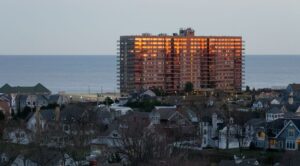
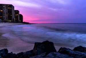
Tipsy — The Admiralty during suset, Winter 2023 (Helen McAndrew Photo).
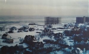
The “Skeleton,” 1977. Today, it stands finished as The Admiralty. Construction began in 1973, was halted for many years due to unfavorable economic times for two separate owners. It was finally opened in August 1982.
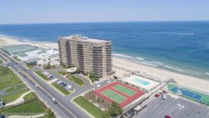
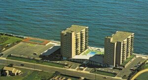
The Admiralty aerial image, 2019. When the high-rise finally when on the borough property tax rolls in 1983, it was assessed at $13 million.
In the Neighborhood …
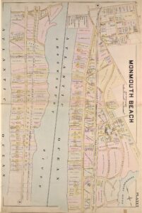
Wolverton Atlas of Monmouth Beach, 1889. According to this document, about a dozen mansions stood on the shorefront grounds now covered by the high-rises.
Back Then …

